 English (UK)
 English (US)
 Français
 Deutsch
 Español
 Italiano
 Nederlands
 简体中文
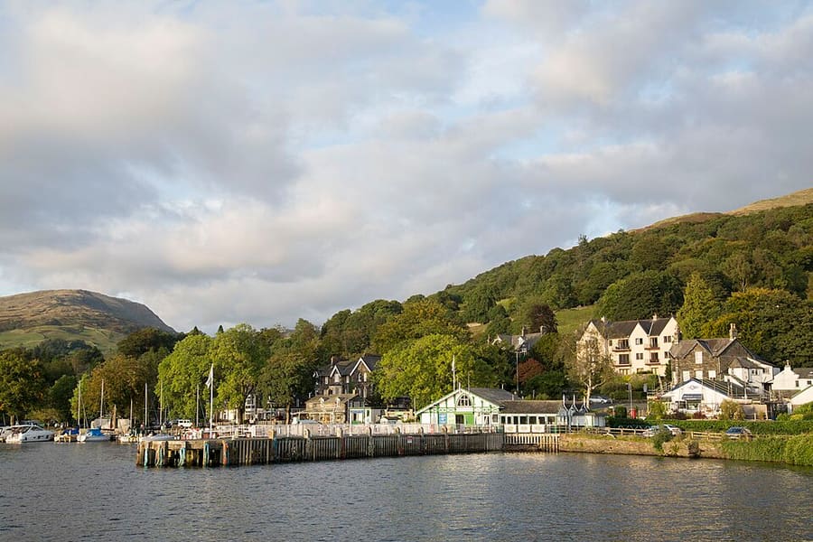
A mini guide to
Ambleside & Grasmere: getting there
Stops, stations and how to reach Ambleside & Grasmere
Stops and stations
Getting to Ambleside & Grasmere
Choose the stop closest to where you are going.
| Stop or station | Services | Good for |
|---|---|---|
| Bus 599 | Stagecoach | Runs between Bowness, Windermere, Rydal and Grasmere, up to every 20 minutes in summer with an open-top bus, according to the National Park Authority |
| Bus 555 | Stagecoach | Lancaster and Kendal to Keswick via Grasmere and Rydal, according to the National Park Authority |
| Bus 505 | Stagecoach | Regular buses to Coniston from Ambleside and Hawkshead, according to the National Park Authority |
| Waterhead pier | Windermere Lake Cruises | Boats call at Ambleside (Waterhead), Brockhole, Wray Castle and Bowness; check the operator for the season |
Walking from nearby areas
- Coniston & Hawkshead: 8.6 km from Ambleside & Grasmere, better by public transport
- Windermere & Bowness: 9.7 km from Ambleside & Grasmere, better by public transport
- Ullswater & Pooley Bridge: 16.2 km from Ambleside & Grasmere, better by public transport
- Keswick & Derwentwater: 19.6 km from Ambleside & Grasmere, better by public transport
Reaching the Lake District
Official travel information
The Lake District is in the north-west of England, with Manchester to the south and Carlisle to the north. The M6 runs along its eastern edge, and the main-line stations at Oxenholme, Penrith and Carlisle connect with the Windermere branch line, buses and boats. Journey times below come from the National Park Authority; always check operators for current times.
- Lake District National Park → — the National Park Authority
- Getting to and around the Lake District → — trains, buses, boats and driving
- Visit Lake District → — the regional tourism site
- National Rail Enquiries → — train times and fares
- Northern: Cumbria Travel Pass → — trains, buses and Windermere cruises
- Stagecoach: explore the Lakes by bus → — bus routes and timetables
- Traveline → — journey planner
- Windermere Lake Cruises → — boats on Windermere
- Ullswater Steamers → — boats on Ullswater
- Keswick Launch → — boats on Derwentwater
- Coniston Launch → — boats on Coniston Water
- Ravenglass and Eskdale Railway → — heritage railway to Eskdale
Times, fares and disruption change: use the operator pages above for live information.
Plan your journey here
Enter your starting point and Google Maps will show routes to Ambleside & Grasmere. Public transport is selected; change it on the map. Check operator sites for live disruption.
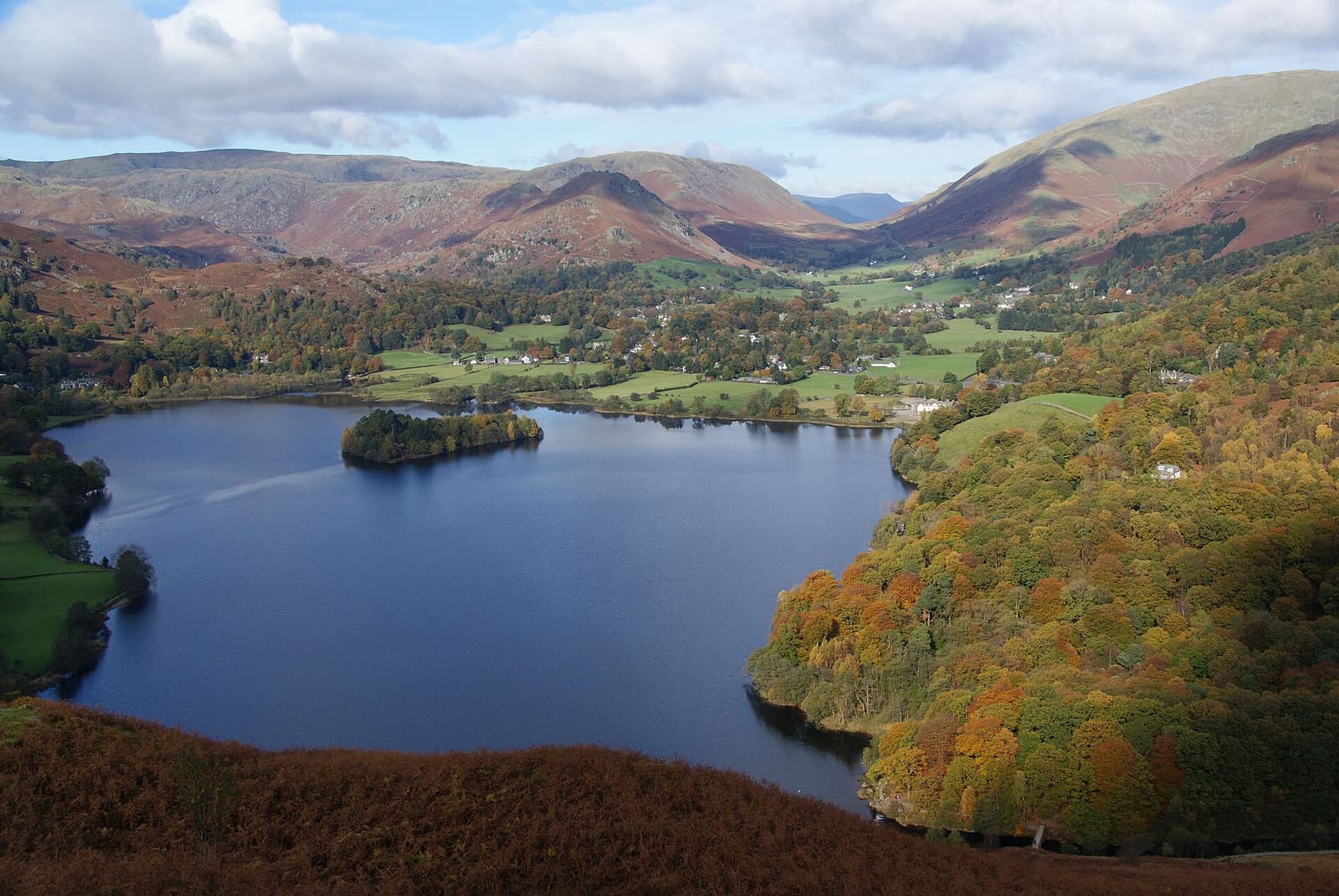
While you are here
Things to see in Ambleside & Grasmere
A few of the sights in the area. The Things to do page lists them all, with directions and official links.
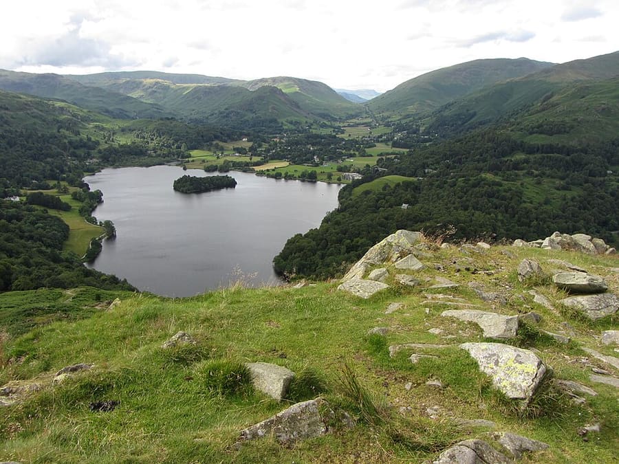
Grasmere
Lake with no motor boats, suited to rowing and swimming; boats can be hired in summer.
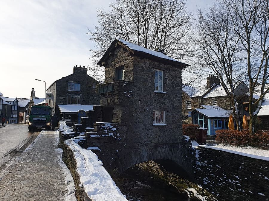
Bridge House
17th-century house built over Stock Beck in the middle of Ambleside, now owned by the National Trust.
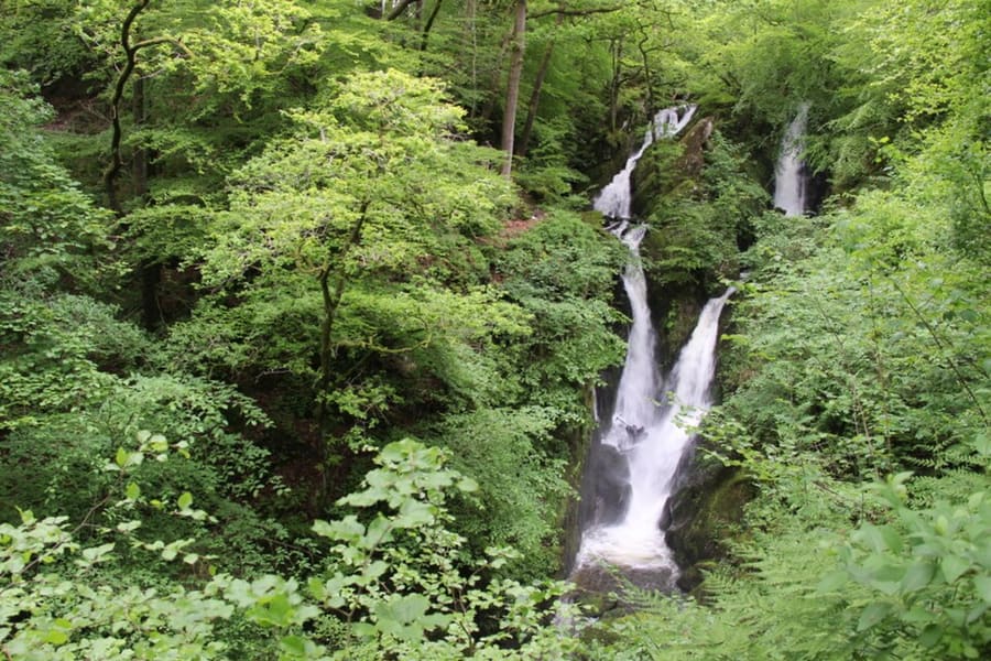
Stock Ghyll Force
Waterfall on Stock Ghyll, the stream that runs from Red Screes through Ambleside to the River Rothay.
The Lake District
More areas to explore
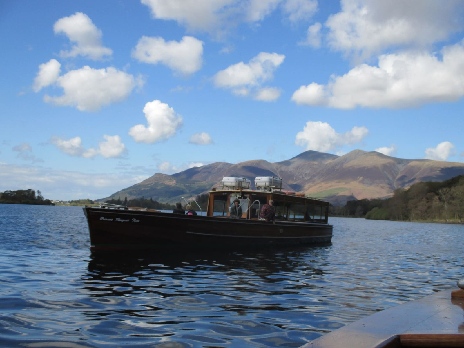
Keswick & Derwentwater
A market town on the shore of Derwentwater, with a stone circle, a theatre and fells on every side
Open the mini guide →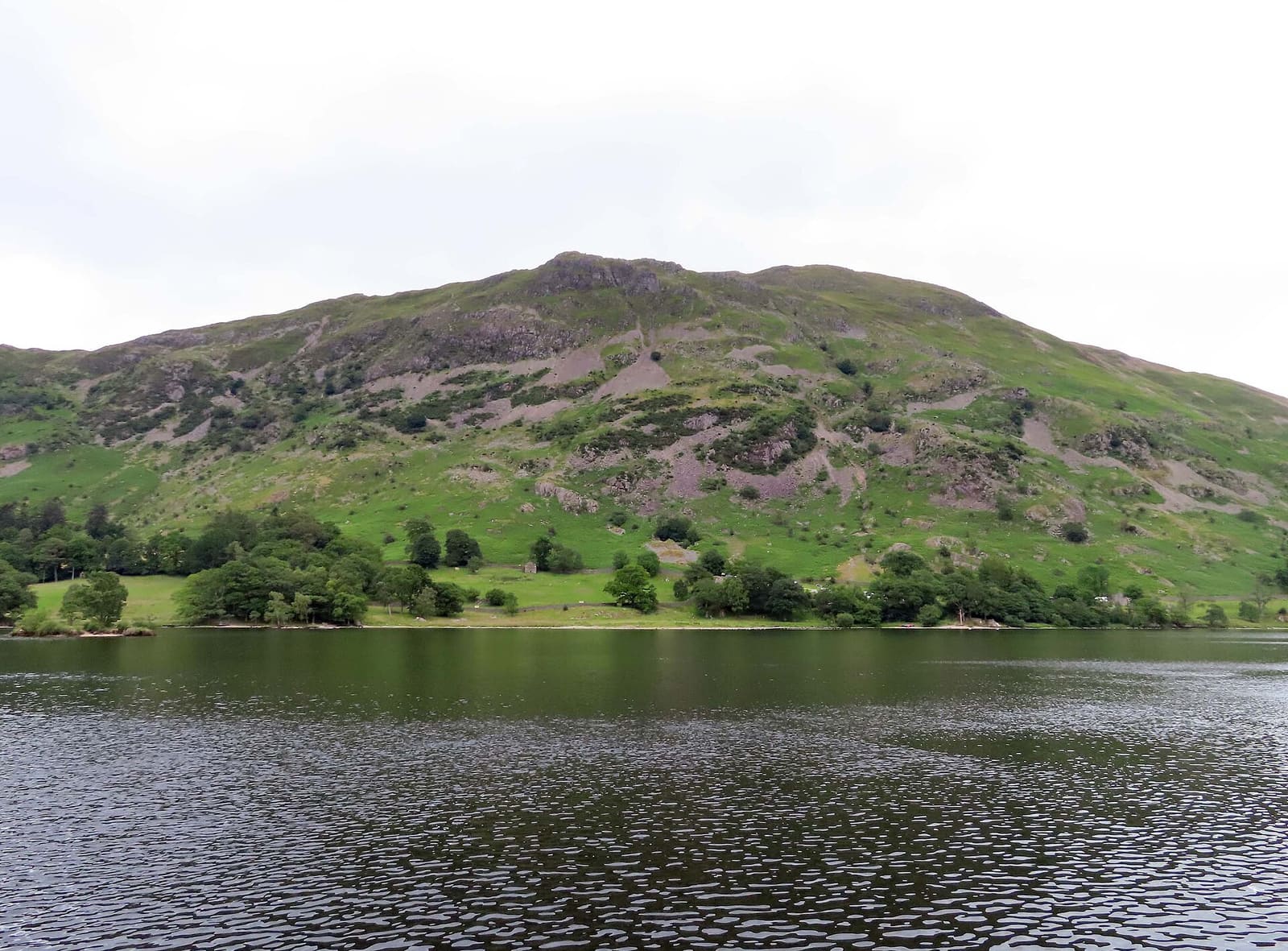
Ullswater & Pooley Bridge
A long lake with steamers, a waterfall and Helvellyn behind Glenridding
Open the mini guide →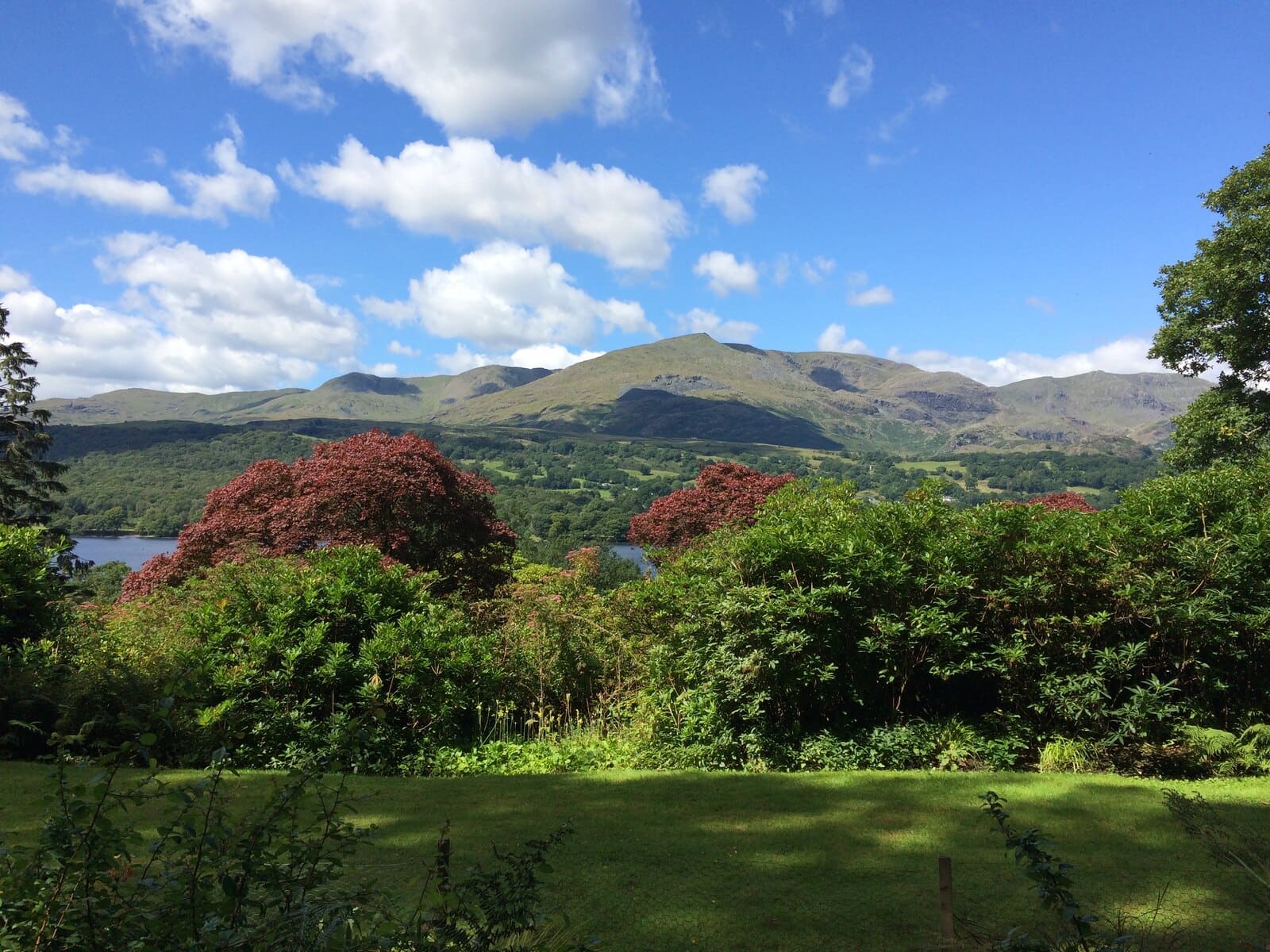
Coniston & Hawkshead
Ruskin, Beatrix Potter and a boat on Coniston Water, between two small villages
Open the mini guide →Photo credits
- Waterhead: James Harrison, CC BY-SA 2.0, source
- Ambleside & Grasmere (area photo): Bill Boaden, CC BY-SA 2.0, source
- Grasmere: Gareth James, CC BY-SA 2.0, source
- Bridge House: Oscar Taylor, CC BY-SA 2.0, source
- Stock Ghyll Force: Christine Matthews, CC BY-SA 2.0, source
- Keswick & Derwentwater: Antiquary, CC BY-SA 4.0, source
- Ullswater & Pooley Bridge: Steve Daniels, CC BY-SA 2.0, source
- Coniston & Hawkshead: Martin Jeffries, CC BY-SA 2.0, source
- Wasdale & Eskdale: John260660, CC BY-SA 4.0, source
- Windermere & Bowness: Anthony Foster, CC BY-SA 2.0, source
Photos from Wikimedia Commons, used under the licences shown. All photo credits
Keep exploring the Lake District