 English (UK)
 English (US)
 Français
 Deutsch
 Español
 Italiano
 Nederlands
 简体中文
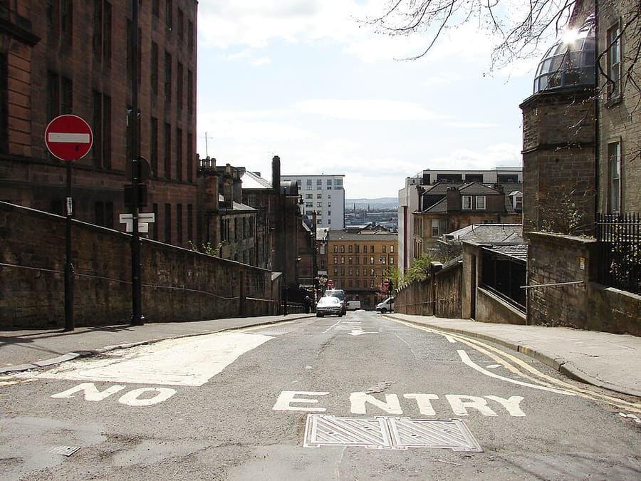
A mini guide to
Charing Cross & Garnethill: getting there
Stops, stations and how to reach Charing Cross & Garnethill
Stops and stations
Getting to Charing Cross & Garnethill
Choose the stop closest to where you are going.
| Stop or station | Services | Good for |
|---|---|---|
| Cowcaddens | Glasgow Subway | SPT lists Glasgow School of Art, the Glasgow Film Theatre and the Tenement House as nearby |
| Kelvinbridge | Glasgow Subway | SPT lists Kelvingrove Park as nearby; it is the nearest stop for Woodlands and St Mary's Cathedral |
| Charing Cross | ScotRail | Station at the Charing Cross junction; check ScotRail for services |
| St George's Cross | Glasgow Subway | Listed in OpenStreetMap on Garnethill's northern edge; check SPT for stations and times |
Within walking range
Stations near Charing Cross & Garnethill
Stations and stops mapped in OpenStreetMap within 2.5 km of the centre of Charing Cross & Garnethill, nearest first. Distances are straight lines; walking times assume 5 km/h and are a minimum.
| Station or stop | Type | Distance | On foot |
|---|---|---|---|
| Charing Cross (Glasgow) | Station | 200 m | about 2 min |
| St George's Cross (Subway) | Metro | 700 m | about 8 min |
| Anderston | Station | 700 m | about 8 min |
| Cowcaddens (Subway) | Metro | 700 m | about 9 min |
| Exhibition Centre | Station | 1000 m | about 12 min |
| Buchanan Street (Subway) | Metro | 1.1 km | about 13 min |
Station data: © OpenStreetMap contributors (ODbL), read 25 October 2026. Check step-free access with the operator before you travel.
Walking from nearby areas
- Merchant City & City Centre: 1.3 km from Charing Cross & Garnethill, about 15 min on foot
- West End & Kelvingrove: 1.4 km from Charing Cross & Garnethill, about 17 min on foot
- Finnieston, Clydeside & the Riverside: 1.7 km from Charing Cross & Garnethill, about 20 min on foot
- Partick & Hyndland: 2.5 km from Charing Cross & Garnethill, about 30 min on foot
Reaching Glasgow
Official travel information
Glasgow has two main railway stations, a coach station in the centre and an airport west of the city. ScotRail, Glasgow Airport, Citylink and Glasgow City Council block automated requests, so this page quotes only operators and sources that could be read; check their own sites for times, fares and disruption.
- Visit Glasgow → — the city's official visitor site
- Visit Glasgow: getting here → — train, air, road and sea
- Visit Glasgow: getting around → — Subway, buses, bikes and taxis
- Visit Glasgow: accessibility → — planning an accessible visit
- SPT: Glasgow Subway → — maps, stations and tickets
- SPT: Subway timetables → — operating times and frequency
- First Bus: Greater Glasgow → — city buses and the airport express
- Avanti West Coast → — trains from London and the north west
- Caledonian Sleeper → — overnight trains from London
- ScotRail → — most Scottish services (the site blocks automated checks)
- Glasgow Airport → — flights and onward transport (the site blocks automated checks)
- National Rail Enquiries → — train times and fares
- Glasgow Life → — museums, libraries and venues
Times, fares and disruption change: use the operator pages above for live information.
Plan your journey here
Enter your starting point and Google Maps will show routes to Charing Cross & Garnethill. Public transport is selected; change it on the map. Check operator sites for live disruption.
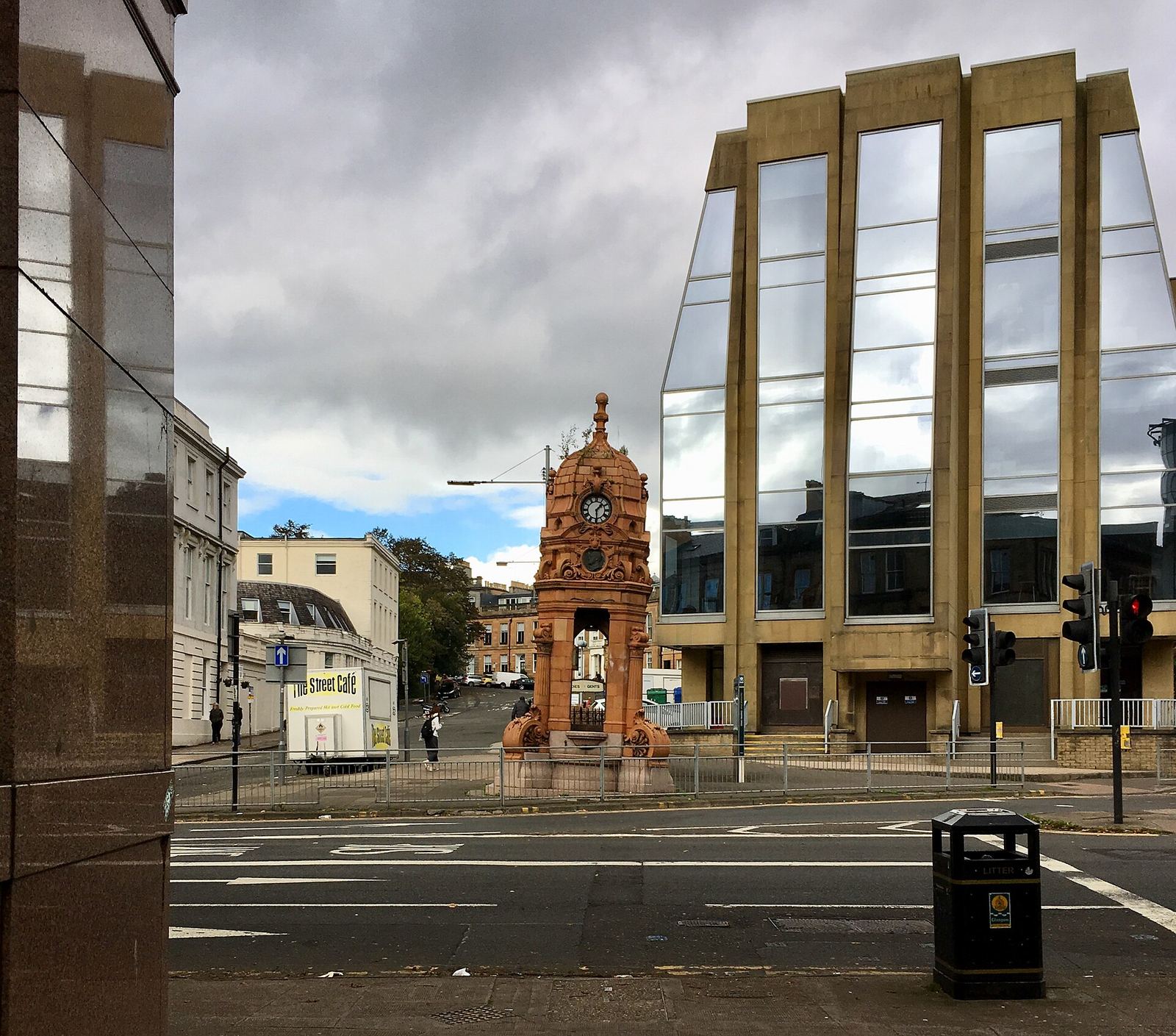
While you are here
Things to see in Charing Cross & Garnethill
A few of the sights in the area. The Things to do page lists them all, with directions and official links.
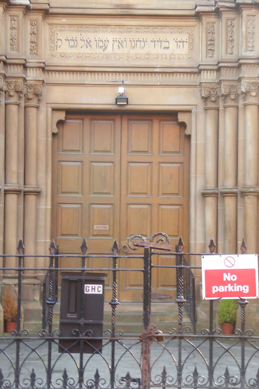
Garnethill Synagogue
Orthodox synagogue completed in 1881, considered the cathedral synagogue of Scotland.
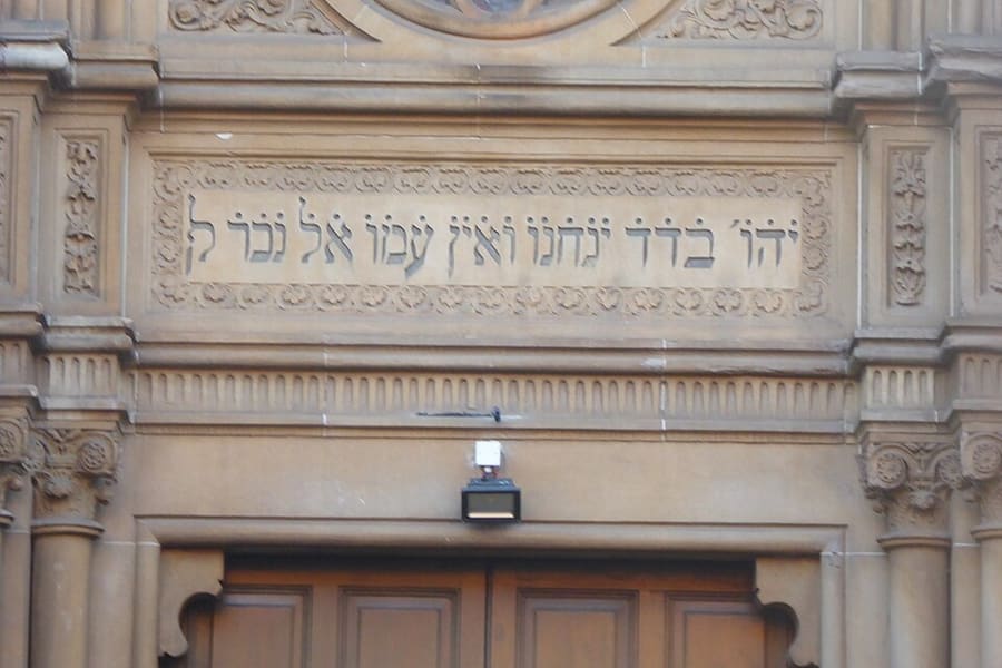
Scottish Jewish Archives Centre
Repository of items on Jewish migration to Scotland and Jewish life in Scotland from the 18th century to today.
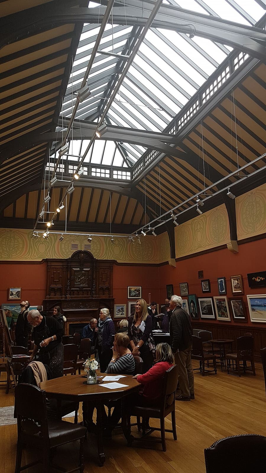
Glasgow Art Club
Artists' club in a Category A listed building, with exhibitions, events and lunchtime concerts open to the public.
Glasgow
More areas to explore
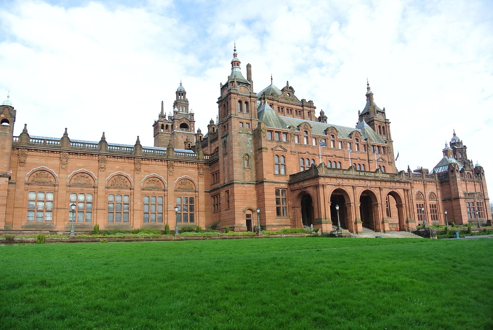
West End & Kelvingrove
A free museum, Scotland's oldest university museum and the cobbled lanes off Byres Road
Open the mini guide →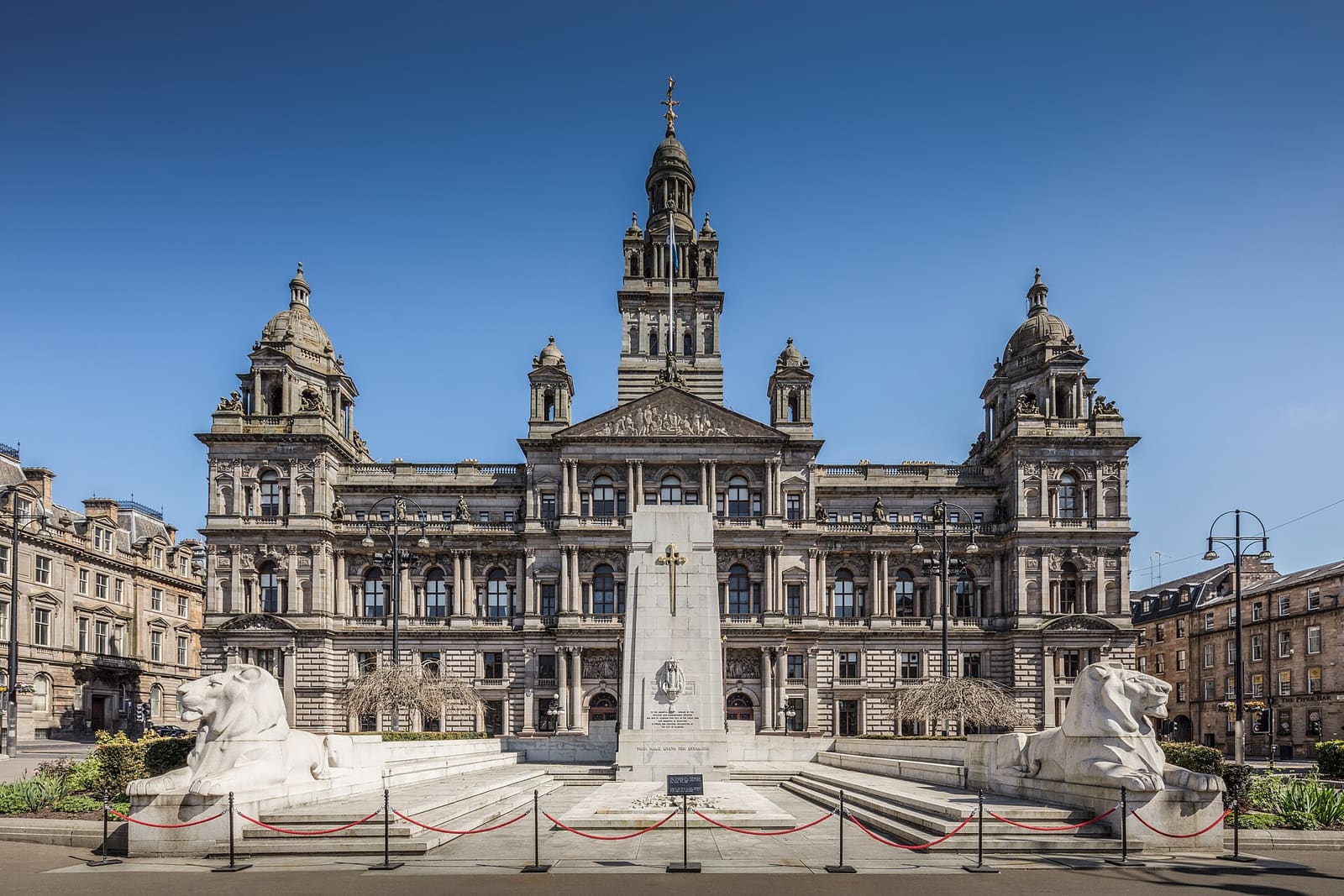
Merchant City & City Centre
Civic squares, the shopping streets and the theatres and venues of the central grid
Open the mini guide →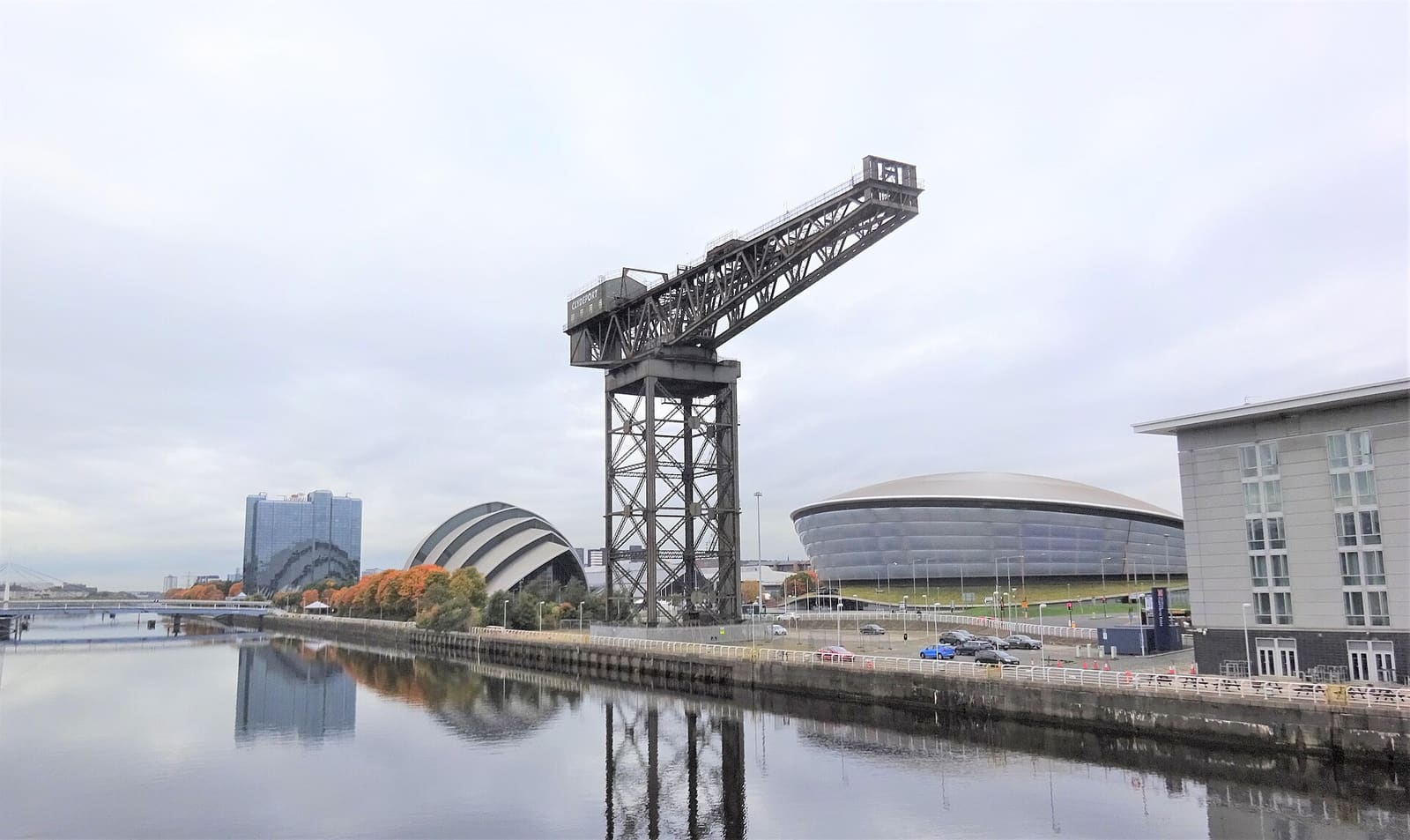
Finnieston, Clydeside & the Riverside
Cranes, bridges and museums on the Clyde, with Finnieston's bars and restaurants behind
Open the mini guide →Photo credits
- Garnethill: Ian Paterson, CC BY-SA 2.0, source
- Charing Cross & Garnethill (area photo): Sonictiller, CC BY-SA 4.0, source
- Garnethill Synagogue: WeeHolly, CC BY-SA 4.0, source
- Scottish Jewish Archives Centre: WeeHolly, CC BY-SA 4.0, source
- Glasgow Art Club: Stinglehammer, CC BY-SA 4.0, source
- West End & Kelvingrove: Suicasmo, CC BY-SA 4.0, source
- Merchant City & City Centre: Michael D Beckwith, CC0, source
- Finnieston, Clydeside & the Riverside: Rosser1954, CC BY-SA 4.0, source
- The Southside: Gordon Brown, CC BY-SA 2.0, source
- Cathedral Precinct, Necropolis & Dennistoun: 瑞丽江的河水, CC BY-SA 4.0, source
- Glasgow Green & the East End: dun_deagh, CC BY-SA 2.0, source
- Partick & Hyndland: James Petts, CC BY-SA 4.0, source
- Shawlands & Langside: Richard Sutcliffe, CC BY-SA 2.0, source
Photos from Wikimedia Commons, used under the licences shown. All photo credits
Keep exploring Glasgow