 English (UK)
 English (US)
 Français
 Deutsch
 Español
 Italiano
 Nederlands
 简体中文
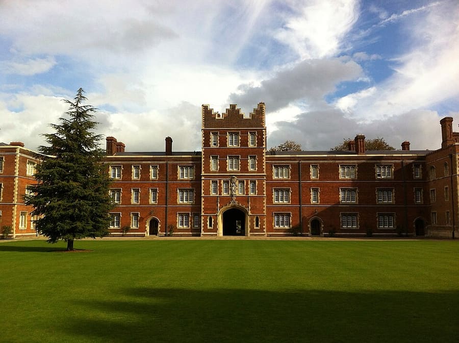
A mini guide to
King's Parade and Market Square: getting there
Stops, stations and how to reach King's Parade and Market Square
Stops and stations
Getting to King's Parade and Market Square
Choose the stop closest to where you are going.
| Stop or station | Services | Good for |
|---|---|---|
| Cambridge station | Great Northern, Greater Anglia, CrossCountry and other operators | About a mile south-east of the centre; the historic streets are reached on foot, by bus or by taxi |
| Park & Ride | Babraham Road, Madingley, Milton Road, Newmarket Road and Trumpington | Stagecoach East runs buses from the five sites to the city centre |
| Central car parks | Grand Arcade, Castle Hill and Grafton East | Visit Cambridge lists these as open 24 hours; check Cambridge City Council for charges |
Within walking range
Stations near King's Parade and Market Square
Stations and stops mapped in OpenStreetMap within 2.5 km of the centre of King's Parade and Market Square, nearest first. Distances are straight lines; walking times assume 5 km/h and are a minimum.
| Station or stop | Type | Distance | On foot |
|---|---|---|---|
| Drummer Street Bus Station | Bus or coach station (Cambridgeshire County Council) | 300 m | about 4 min |
| Parkside bus stops | Bus or coach station | 700 m | about 8 min |
| Grafton Centre Bus Station | Bus or coach station | 1.1 km | about 13 min |
| Beehive Centre bus station | Bus or coach station | 1.7 km | about 20 min |
| Cambridge | Rail station (Greater Anglia) | 1.7 km | about 21 min |
Station data: © OpenStreetMap contributors (ODbL), read 1 November 2026. Check step-free access with the operator before you travel.
Walking from nearby areas
- Colleges and the Backs: 500 m from King's Parade and Market Square, about 6 min on foot
- Museums, Botanic Garden and the South: 800 m from King's Parade and Market Square, about 10 min on foot
- Mill Road and the East: 1.1 km from King's Parade and Market Square, about 14 min on foot
Reaching Cambridge
Official travel information
Cambridge has a railway station about a mile south-east of the centre, and Stansted Airport is linked by direct train. Always check the operators for current times, fares and disruption.
- Visit Cambridge: travelling to Cambridge → — trains, Park & Ride and car parks
- Visit Cambridge: driving into Cambridge → — roads and parking
- National Rail: Cambridge → — station information and journey planning
- Great Northern: trains to Cambridge → — operator page
- Thameslink: trains to Cambridge → — operator page
- Stagecoach East: Cambridge Park & Ride → — sites and buses
- Cambridge City Council: parking → — car park charges
- Greater Cambridge Partnership → — transport schemes in the area
Times, fares and disruption change: use the operator pages above for live information.
Plan your journey here
Enter your starting point and Google Maps will show routes to King's Parade and Market Square. Public transport is selected; change it on the map. Check operator sites for live disruption.
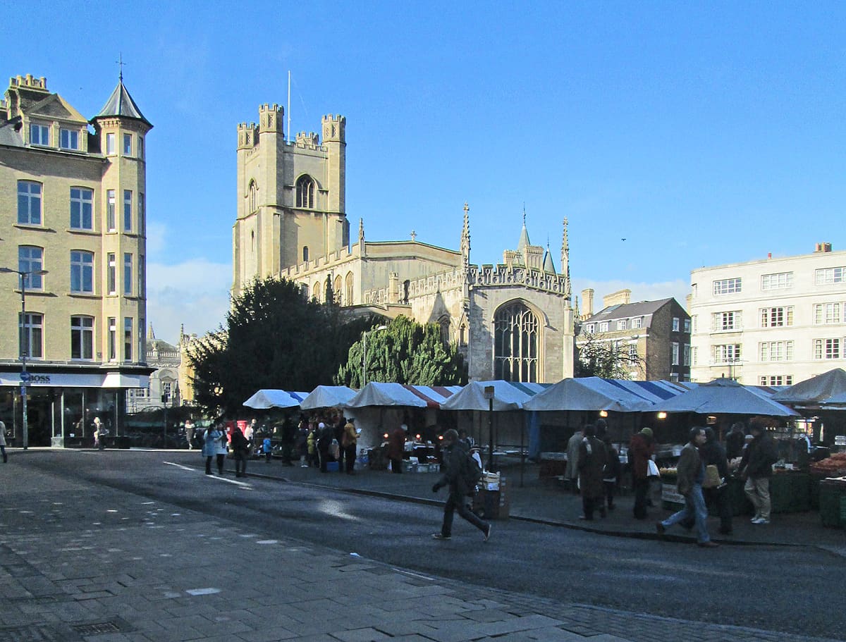
While you are here
Things to see in King's Parade and Market Square
A few of the sights in the area. The Things to do page lists them all, with directions and official links.
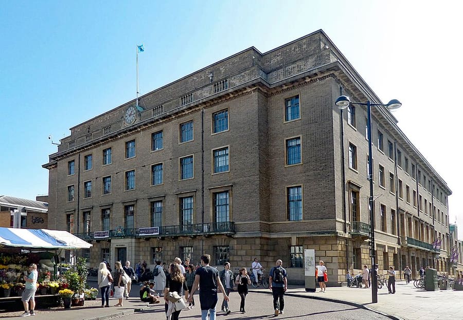
Cambridge Guildhall
Civic building on the south side of Market Hill with two halls, and the seat of Cambridge City Council.
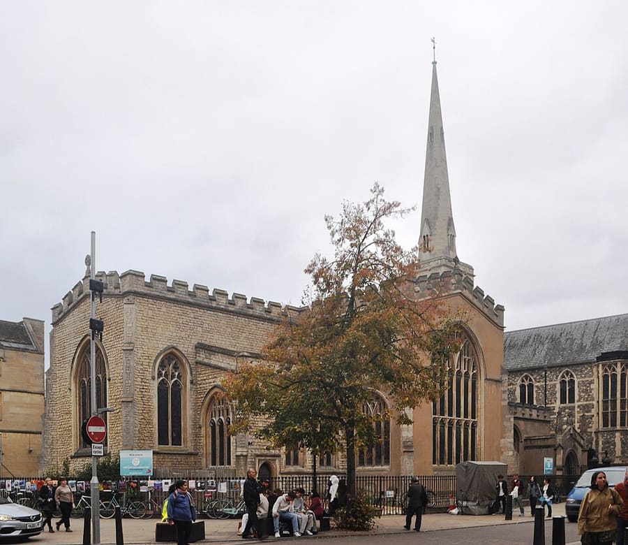
Holy Trinity Church
Church of England church on Market Street, at the corner with Sidney Street.
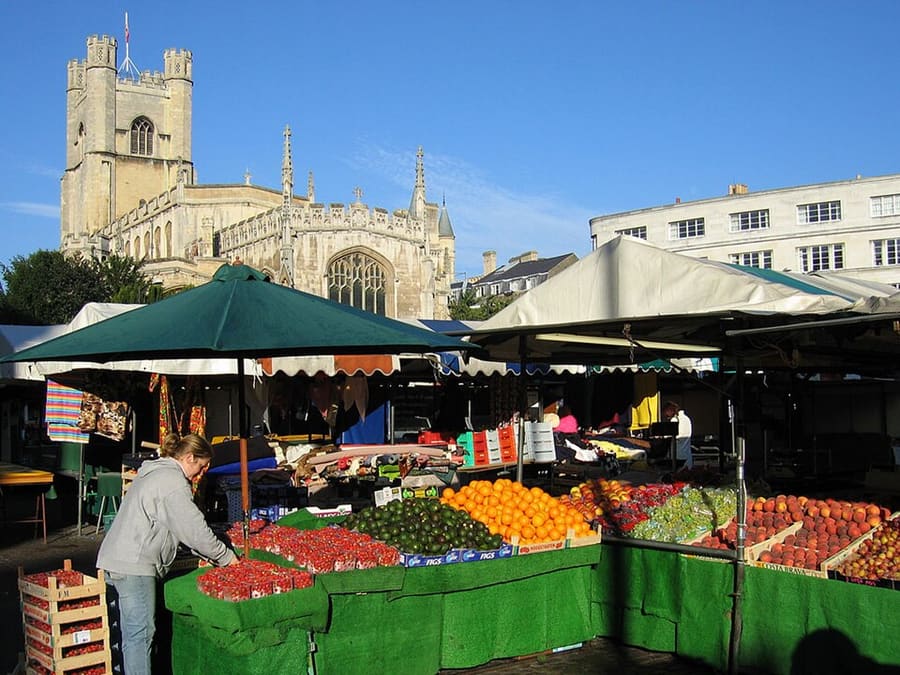
Market Square
Pedestrian square in the city centre, beside the Guildhall and a short walk from Great St Mary's.
Cambridge
More areas to explore
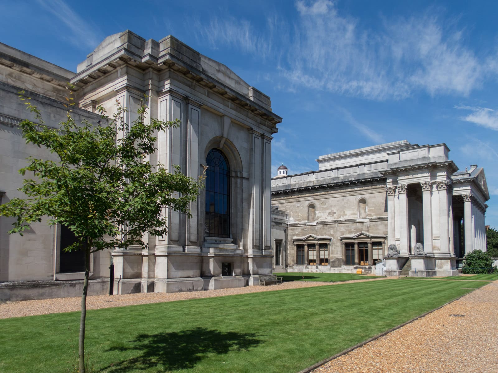
Museums, Botanic Garden and the South
The Fitzwilliam, the Downing Street museums, the Botanic Garden and the meadows towards Grantchester
Open the mini guide →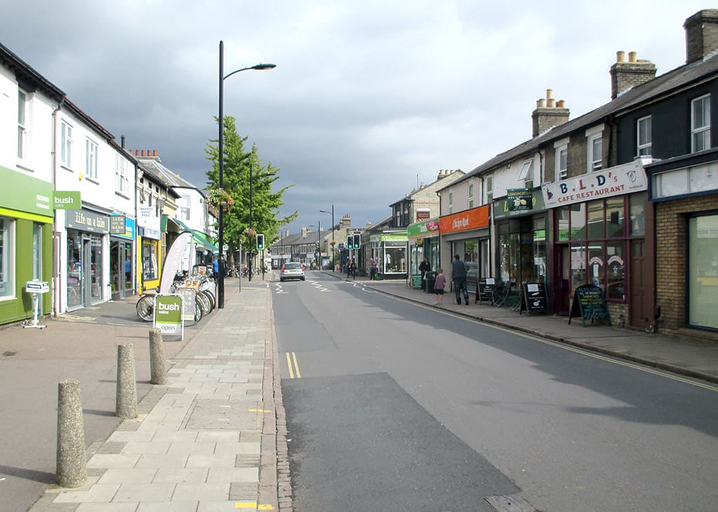
Mill Road and the East
Independent shops and restaurants on Mill Road, with the commons and the river to the north-east
Open the mini guide →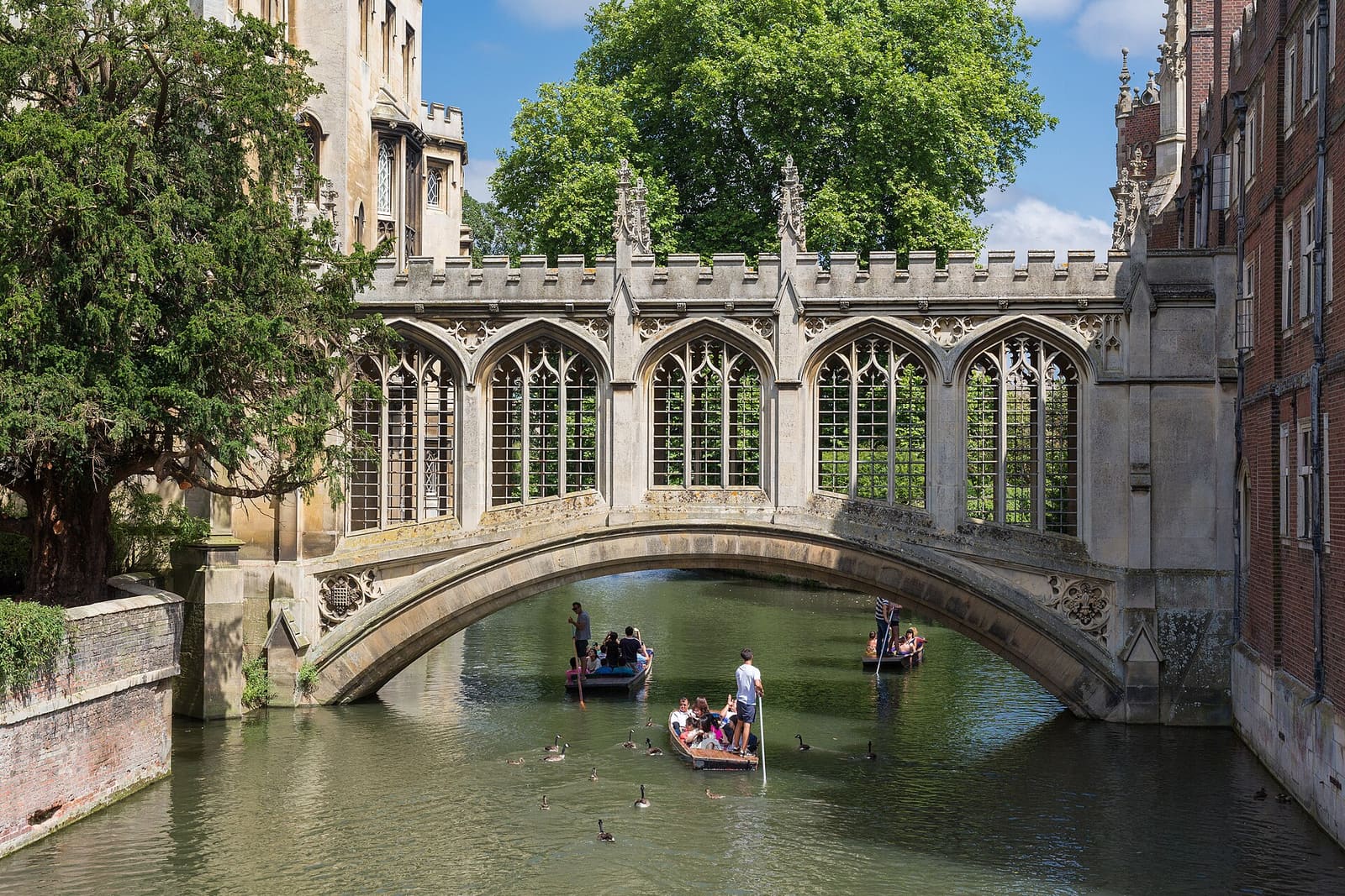
Colleges and the Backs
King's, Trinity, St John's and Queens' beside the River Cam, with the Backs, Magdalene Street and Castle Hill
Open the mini guide →Photo credits
- Jesus College: Jesusgreen, CC BY-SA 3.0, source
- King's Parade and Market Square (area photo): John Sutton, CC BY-SA 2.0, source
- Cambridge Guildhall: Hogweard, Public domain, source
- Holy Trinity Church: User:Hassocks5489, CC0, source
- Market Square: Andrew Dunn, CC BY-SA 2.0, source
- Museums, Botanic Garden and the South: Kim Fyson, CC BY-SA 2.0, source
- Mill Road and the East: John Sutton, CC BY-SA 2.0, source
- Colleges and the Backs: Diliff, CC BY-SA 3.0, source
Photos from Wikimedia Commons, used under the licences shown. All photo credits
Keep exploring Cambridge