 English (UK)
 English (US)
 Français
 Deutsch
 Español
 Italiano
 Nederlands
 简体中文
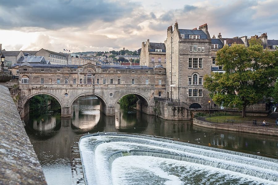
A mini guide to
Milsom Street & Walcot: getting there
Stops, stations and how to reach Milsom Street & Walcot
Stops and stations
Getting to Milsom Street & Walcot
Choose the stop closest to where you are going.
| Stop or station | Services | Good for |
|---|---|---|
| Bath Spa station | Great Western Railway and other operators | The main railway station, a walk north through the centre |
| Bath Bus Station | National Express, FlixBus and local buses | On Dorchester Street, in the centre |
| Park & Ride | Lansdown, Newbridge and Odd Down | Buses run to the centre every quarter-hour or more often, according to Visit Bath |
Within walking range
Stations near Milsom Street & Walcot
Stations and stops mapped in OpenStreetMap within 2.5 km of the centre of Milsom Street & Walcot, nearest first. Distances are straight lines; walking times assume 5 km/h and are a minimum.
| Station or stop | Type | Distance | On foot |
|---|---|---|---|
| Bath Spa | Rail station (Great Western Railway) | 900 m | about 11 min |
| Oldfield Park | Rail station (Great Western Railway) | 1.6 km | about 20 min |
Station data: © OpenStreetMap contributors (ODbL), read 1 November 2026. Check step-free access with the operator before you travel.
Walking from nearby areas
- Abbey & Roman Baths: 500 m from Milsom Street & Walcot, about 6 min on foot
- Georgian Bath: 600 m from Milsom Street & Walcot, about 7 min on foot
- Bathwick & Widcombe: 1.2 km from Milsom Street & Walcot, about 14 min on foot
Reaching Bath
Official travel information
Bath has a railway station and a bus station in the city centre. Bristol is the nearest major airport. Always check the operators for current times, fares and disruption.
- Visit Bath: getting here → — train, coach, car and airports
- Visit Bath: travelling to Bath → — trains, coaches and airport transfers
- Visit Bath: parking and Park & Ride → — Park & Ride sites and the Clean Air Zone
- Visit Bath: public transport → — buses and coaches
- Great Western Railway → — trains from London Paddington and Bristol
- National Rail: Bath Spa → — station information and journey planning
- Bath & North East Somerset Council: Park & Ride → — official council page
- Bath & North East Somerset Council: Clean Air Zone → — charges and exemptions
Times, fares and disruption change: use the operator pages above for live information.
Plan your journey here
Enter your starting point and Google Maps will show routes to Milsom Street & Walcot. Public transport is selected; change it on the map. Check operator sites for live disruption.
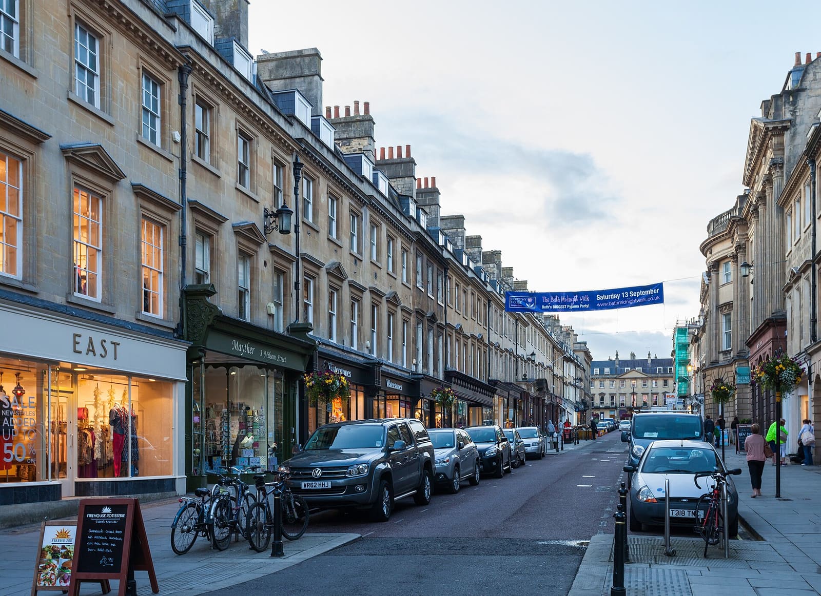
While you are here
Things to see in Milsom Street & Walcot
A few of the sights in the area. The Things to do page lists them all, with directions and official links.
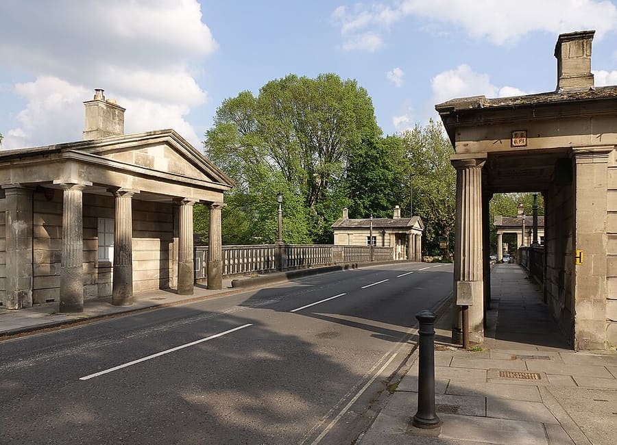
Cleveland Bridge
Early 19th-century road bridge over the River Avon, with a tollhouse beside it.
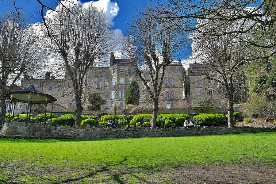
Hedgemead Park
Terraced hillside park above Walcot Street, with lawns and views across the city.
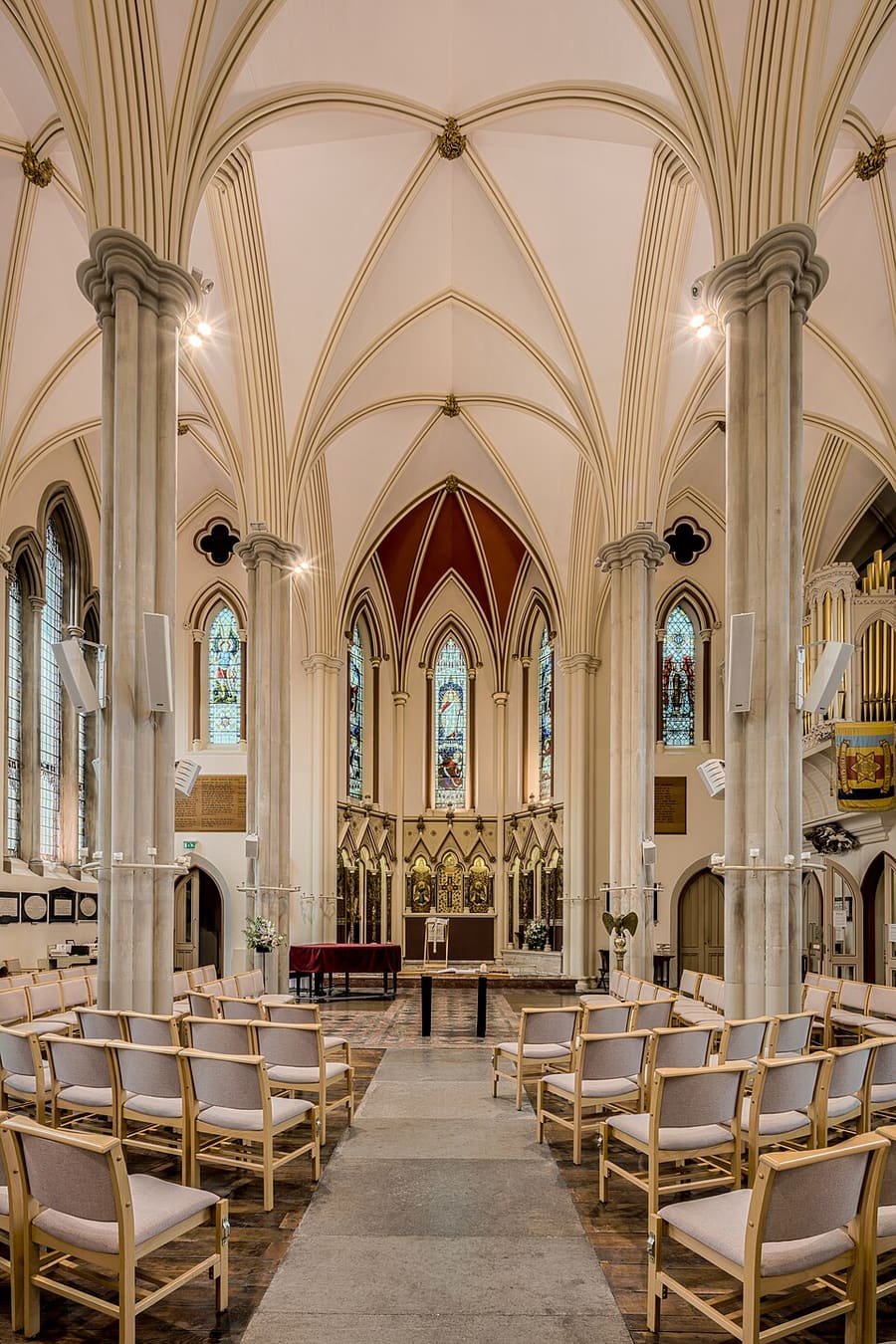
St Michael's Without
Church of England parish church on Broad Street, in the shopping streets north of the Abbey.
Bath
More areas to explore
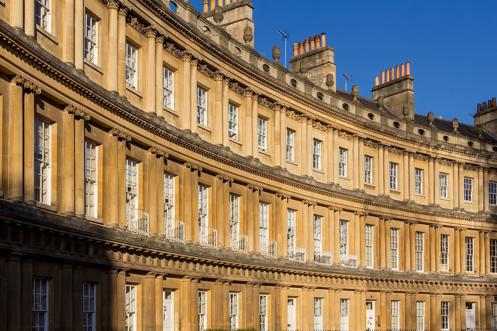
Georgian Bath
The Royal Crescent, the Circus and Queen Square on the hill above the city
Open the mini guide →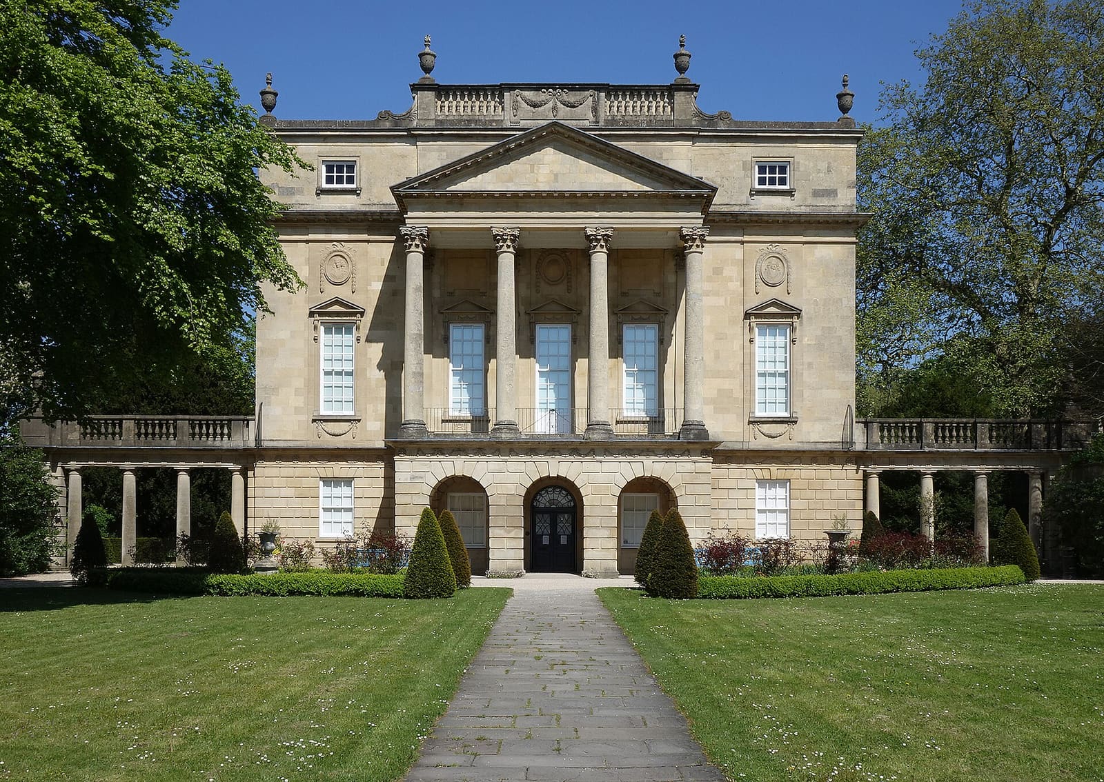
Bathwick & Widcombe
Great Pulteney Street, canal locks and Prior Park across the river
Open the mini guide →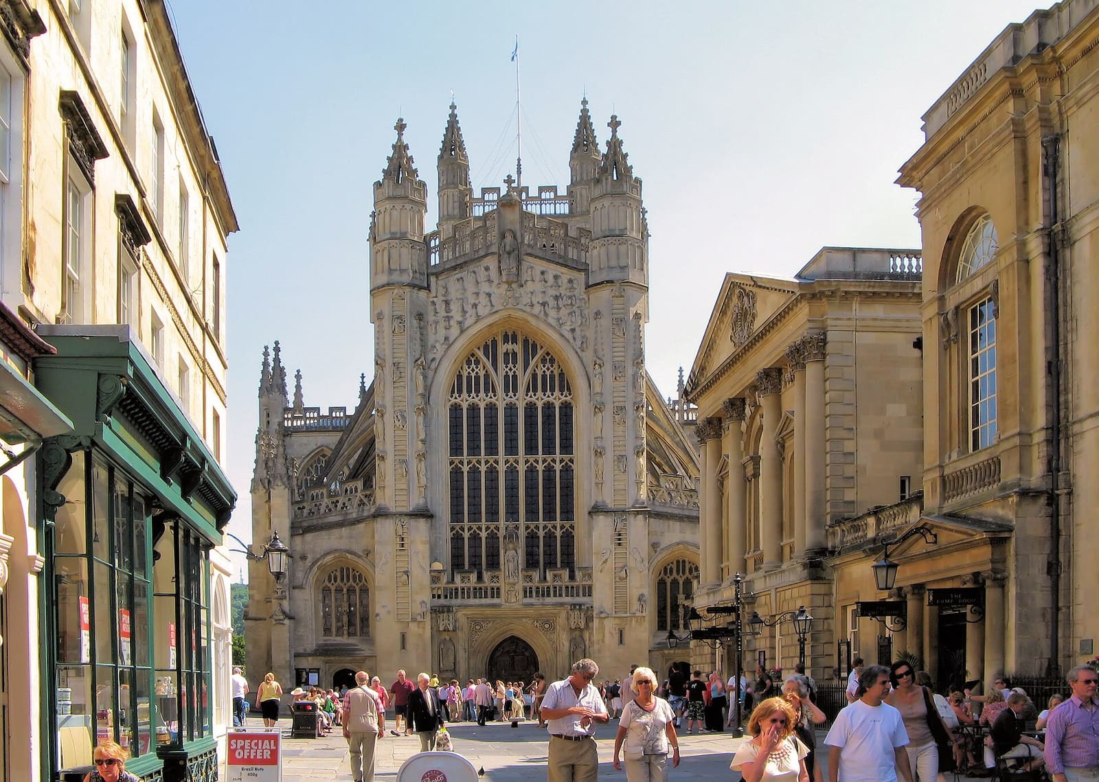
Abbey & Roman Baths
The Roman Baths, the Abbey and the Pump Room around the Abbey Churchyard
Open the mini guide →Photo credits
- Pulteney Bridge: Diego Delso, CC BY-SA 4.0, source
- Milsom Street & Walcot (area photo): Diego Delso, CC BY-SA 4.0, source
- Cleveland Bridge: Neiljforsyth, CC BY-SA 4.0, source
- Hedgemead Park: Anthony O'Neil, CC BY-SA 2.0, source
- St Michael's Without: Michael D Beckwith from England, CC0, source
- Georgian Bath: Photograph by Mike Peel (www.mikepeel.net)., CC BY-SA 4.0, source
- Bathwick & Widcombe: Neiljforsyth, CC BY-SA 4.0, source
- Abbey & Roman Baths: Adrian Pingstone (Arpingstone), Public domain, source
Photos from Wikimedia Commons, used under the licences shown. All photo credits
Keep exploring Bath