 English (UK)
 English (US)
 Français
 Deutsch
 Español
 Italiano
 Nederlands
 简体中文
Pier
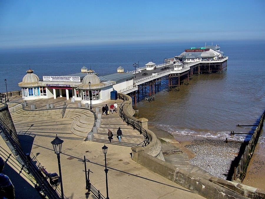
Cromer Pier
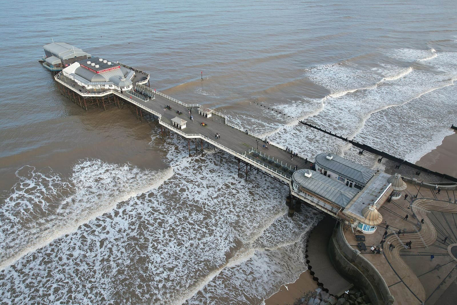
Grade II listed pier that is home to the Cromer lifeboat station and the Pavilion Theatre.
Een minigids voor
Victorian seaside towns with a pier, crab boats, heritage steam trains and the highest hill in Norfolk
 1 / 4
Welkom in het gebied
Cromer grew from a fishing town into a seaside resort and is known for the Cromer crab, still landed by boats that work from the east beach. Its Grade II listed pier holds the lifeboat station and the Pavilion Theatre, which was enclosed in 1905, and the lighthouse stands on the coast at the edge of the town.
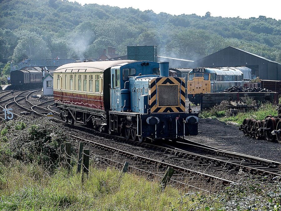
Sheringham, to the west, is the terminus of the Bittern Line from Norwich and the starting point of the North Norfolk Railway, a heritage line to Holt. Its museum, the Mo, shows old lifeboats. Inland, Beacon Hill near West Runton is the highest point in Norfolk, and the National Trust looks after Felbrigg Hall and Sheringham Park.
Hoogtepunten
Hebt u slechts enkele uren, dan zijn dit goede plekken om te beginnen.
Grade II listed pier that is home to the Cromer lifeboat station and the Pavilion Theatre.
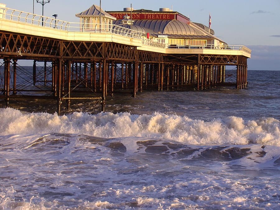
Theatre at the end of Cromer Pier, a bandstand when the pier opened and enclosed as a pavilion in 1905.
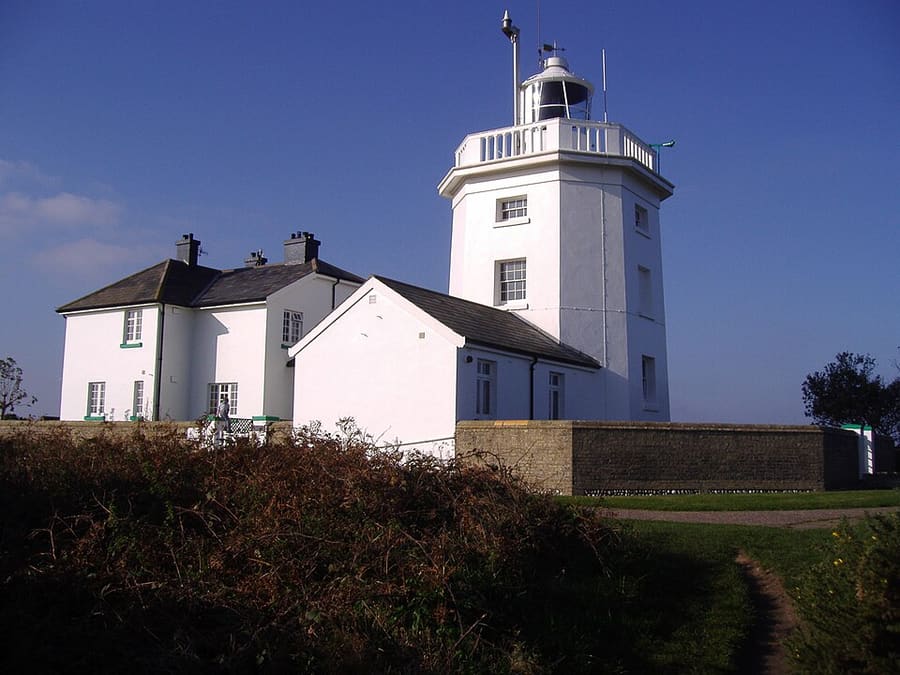
Lighthouse in the coastal town of Cromer, a landmark on the north Norfolk coast.
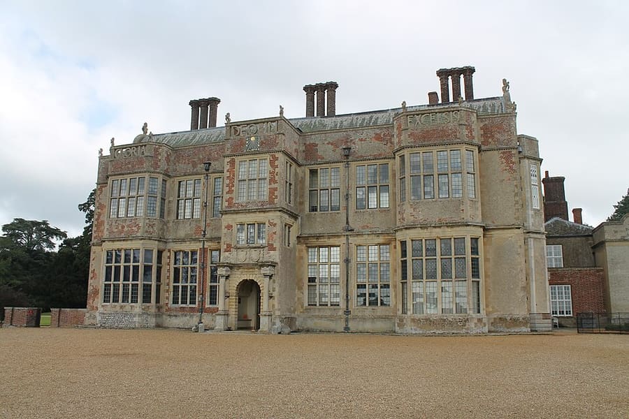
National Trust house of the 17th century with Jacobean architecture, Georgian interiors, a walled garden and an orangery.
Routebeschrijving Website Report a problem with Felbrigg Hall
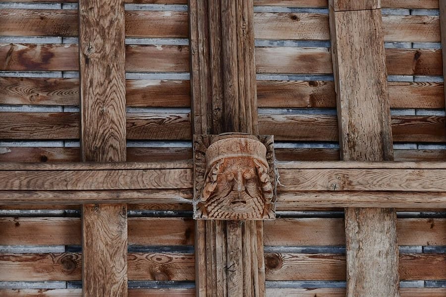
Parish church of Felbrigg, close to Felbrigg Hall.
Routebeschrijving Report a problem with St Margaret's Church, Felbrigg
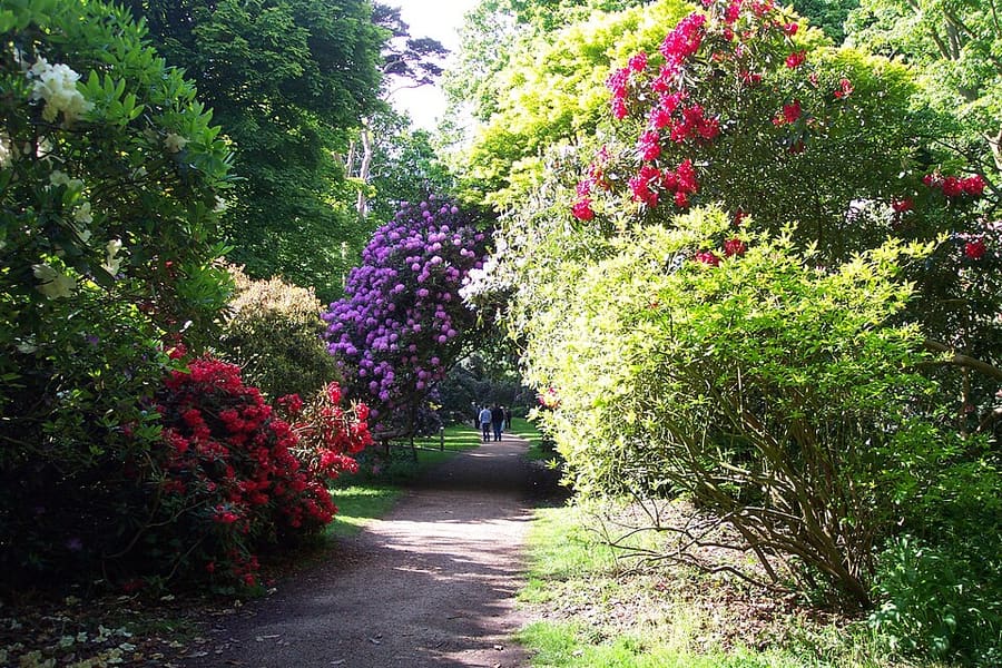
Park around Sheringham Hall, designed with Humphry Repton and his son; the National Trust looks after the plantations, which are open to visitors.
Routebeschrijving Website Report a problem with Sheringham Park
Vind uw weg
The map shows Cromer & Sheringham and the streets around it. The Getting there page lists nearby stops and stations.
Insidertips
Crab and lobster are the main catch of the Cromer boats, and shops in the town sell fresh crab when the boats come in.
The Bittern Line from Norwich ends at Sheringham, with stops at Cromer and West Runton, so a car is not needed.
At 105 metres, Beacon Hill near West Runton is the highest point in Norfolk, with National Trust woodland around it.
At Sheringham the national rail station and the North Norfolk Railway are close together; check the heritage line's calendar first.
Tips van de Britlens-redactie
Norfolk and the Broads
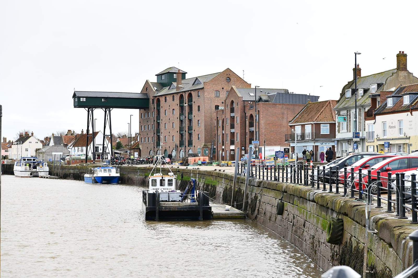
Salt marsh, dunes and seals between a harbour town, a Palladian house and flint villages
Open de minigids →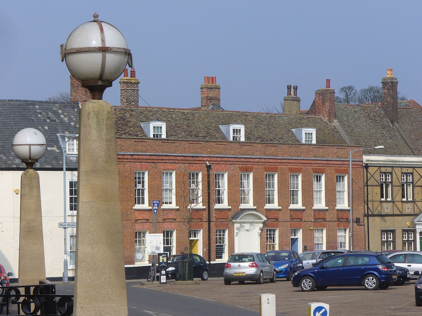
A medieval port on the Great Ouse, a Norman castle and the royal Sandringham estate
Open de minigids →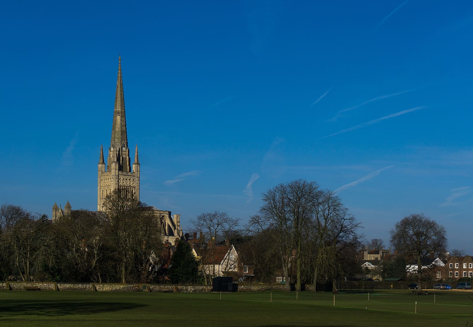
A Norman cathedral and castle, a 900-year-old market and medieval lanes in the county city
Open de minigids →Photos from Wikimedia Commons, used under the licences shown. All photo credits
Keep exploring Norfolk and the Broads