 English (UK)
 English (US)
 Français
 Deutsch
 Español
 Italiano
 Nederlands
 简体中文
Een minigids voor
Canterbury: getting there
Stops, stations and how to reach Canterbury
Haltes en stations
Getting to Canterbury
Kies de halte die het dichtst bij uw bestemming ligt.
| Halte of station | Voorzieningen | Geschikt voor |
|---|---|---|
| Canterbury West | Southeastern high-speed trains to London St Pancras (51 minutes, according to Southeastern) and trains to the coast | The Westgate, St Dunstan's and the High Street |
| Canterbury East | Mainline trains to London Victoria and to Dover | The city walls, Dane John Gardens and the south of the centre |
| Canterbury bus station | Stagecoach buses, including route 8 to Thanet according to Visit Thanet | St George's Street and the shopping centre |
| Park-and-ride | Visit Canterbury lists three Park and Ride sites | Driving in without parking in the walled centre |
Walking from nearby areas
- Whitstable: 9.7 km from Canterbury, better by public transport
- Deal: 23.3 km from Canterbury, better by public transport
- Dover: 23.6 km from Canterbury, better by public transport
- Margate and Broadstairs: 25.3 km from Canterbury, better by public transport
Reaching Canterbury & Kent
Officiële reisinformatie
Southeastern's high-speed trains from London St Pancras International serve every town in this guide, and slower mainline trains run from London Victoria and Charing Cross. Dover is also the arrival point for ferries from France. Always check the operators for current times, fares and disruption.
- Southeastern → — high-speed and mainline trains in Kent
- Visit Canterbury: plan your journey → — trains, Park and Ride, visitor information centre
- Visit Thanet: getting here → — Margate and Broadstairs by rail, coach and road
- White Cliffs Country: getting here and getting around → — Dover and Deal, ferries, buses
- Port of Dover → — ferry and cruise terminals
- Stagecoach: plan a journey → — local buses in east Kent
Tijden, tarieven en storingen veranderen: raadpleeg de bovenstaande pagina's van de vervoerders voor actuele informatie.
Plan hier uw reis
Enter your starting point and Google Maps will show routes to Canterbury. Public transport is selected; change it on the map. Check operator sites for live disruption.
While you are here
Things to see in Canterbury
A few of the sights in the area. The Things to do page lists them all, with directions and official links.
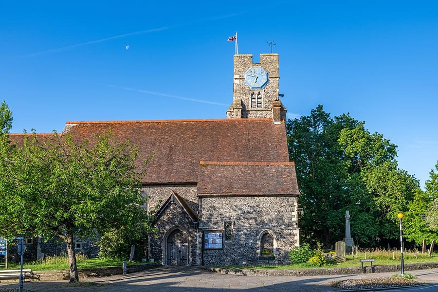
St Dunstan's Church
Grade I listed church just outside the Westgate, at the junction of London Road and Whitstable Road.

Marlowe Theatre
The city's main theatre, named after the playwright Christopher Marlowe, who was born in Canterbury.
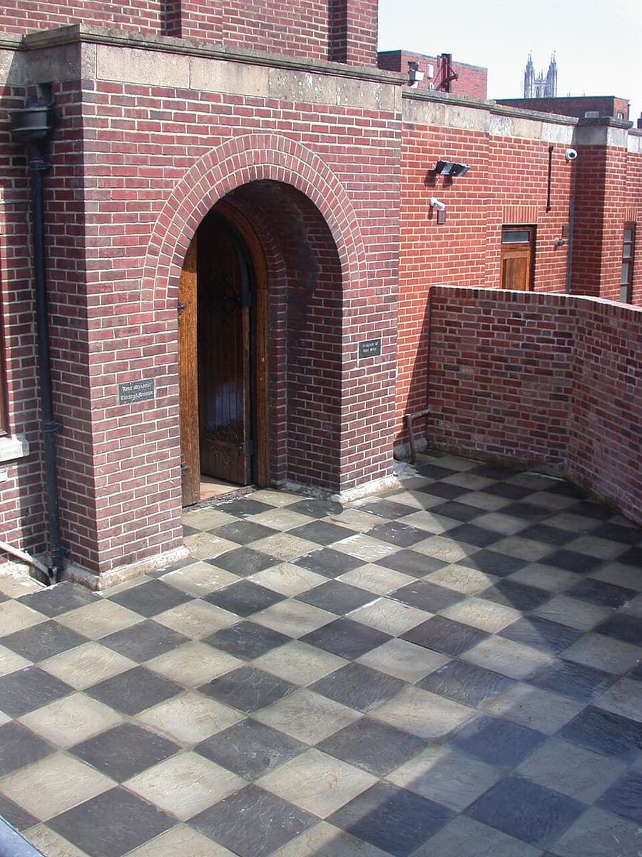
Kent Museum of Freemasonry
Local history and masonic museum in St Peter's Place, between the two railway stations.
Canterbury & Kent
More areas to explore
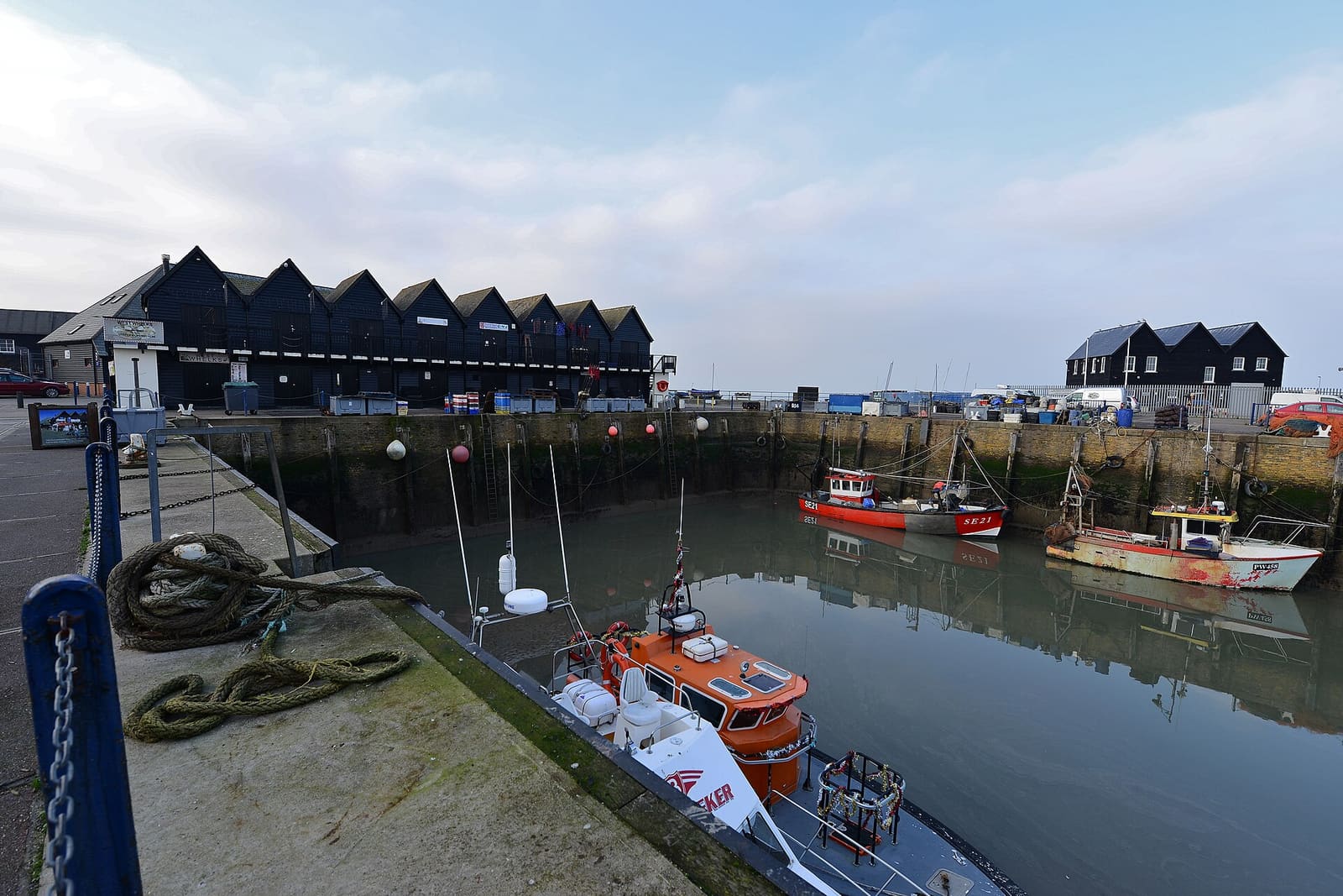
Whitstable
Oysters, a working harbour and a long shingle beach facing the Thames Estuary
Open de minigids →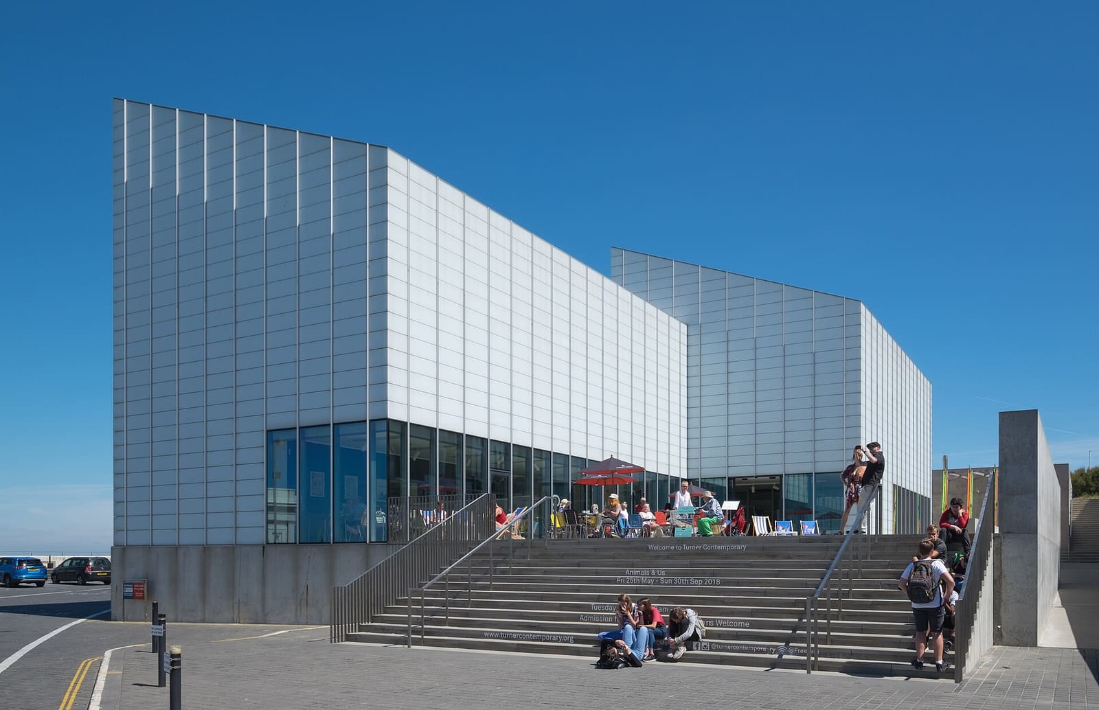
Margate and Broadstairs
Sandy bays, Turner Contemporary, Margate Old Town and Dickens's Broadstairs
Open de minigids →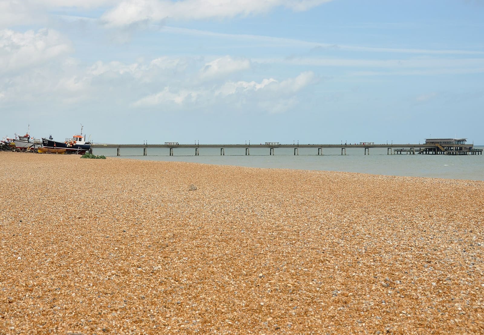
Deal
A shingle seafront, a pier and two Tudor castles
Open de minigids →Fotoverantwoording
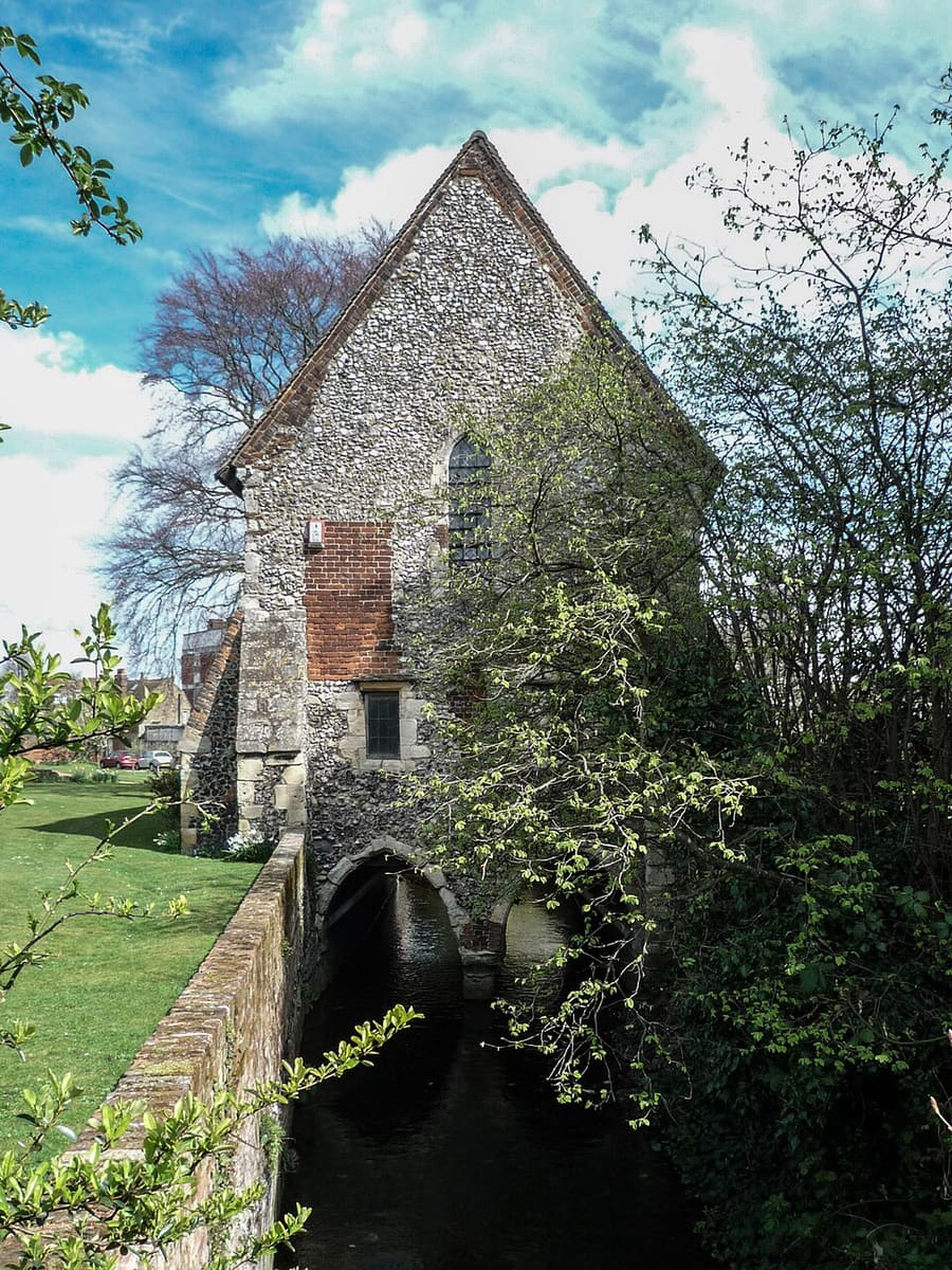
- Greyfriars Chapel: Kim Fyson, CC BY-SA 2.0, source
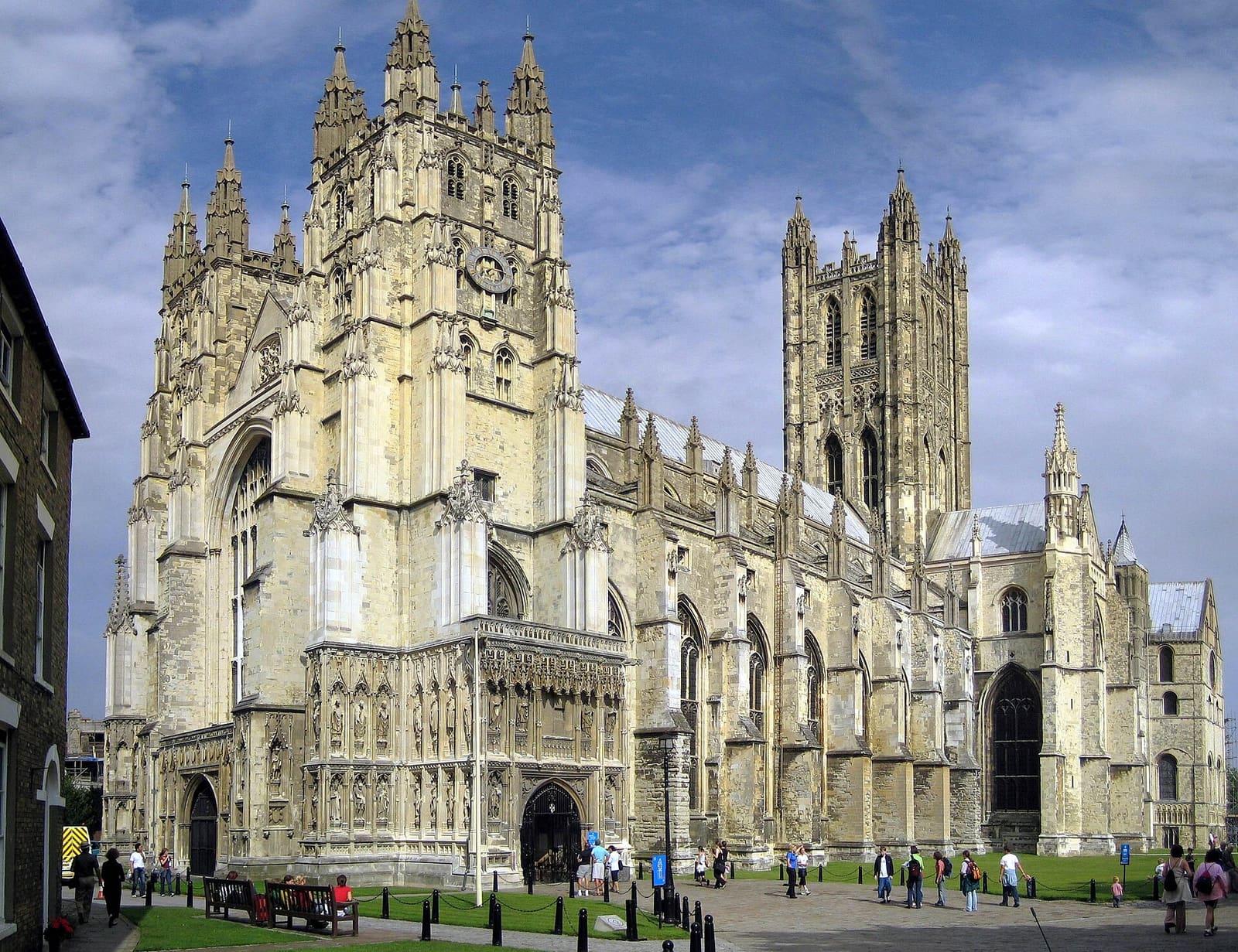
- Canterbury (area photo): Hans Musil, CC BY-SA 4.0, source
- St Dunstan's Church: Tilman2007, CC BY-SA 4.0, source
- Marlowe Theatre: Adam Bishop, CC BY-SA 3.0, source
- Kent Museum of Freemasonry: Pre36sunbeam, CC BY-SA 3.0, source
- Whitstable: Michael Garlick, CC BY-SA 2.0, source
- Margate and Broadstairs: DeFacto, CC BY-SA 4.0, source
- Deal: Nilfanion, CC BY-SA 4.0, source
- Dover: Chensiyuan, CC BY-SA 4.0, source
Photos from Wikimedia Commons, used under the licences shown. All photo credits
Keep exploring Canterbury & Kent