 English (UK)
 English (US)
 Français
 Deutsch
 Español
 Italiano
 Nederlands
 简体中文
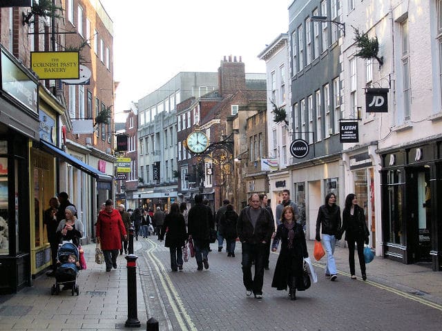
Een minigids voor
The Shambles and Stonegate: hoe komt u er
Haltes, stations en hoe u bij The Shambles and Stonegate komt
Haltes en stations
Hoe komt u bij The Shambles and Stonegate
Kies de halte die het dichtst bij uw bestemming ligt.
| Halte of station | Voorzieningen | Geschikt voor |
|---|---|---|
| York station | LNER, Grand Central, TransPennine Express en andere | Loop over Lendal Bridge en langs Museum Street of Lendal |
| Park & Ride | Zes locaties van de gemeente | Vanaf elke locatie rijden bussen naar het centrum; raadpleeg de dienstregeling van de route voor de tijden |
Within walking range
Stations near The Shambles and Stonegate
Stations and stops mapped in OpenStreetMap within 2.5 km of the centre of The Shambles and Stonegate, nearest first. Distances are straight lines; walking times assume 5 km/h and are a minimum.
| Station or stop | Type | Afstand | Te voet |
|---|---|---|---|
| York | Rail station (London North Eastern Railway) | 800 m | about 10 min |
| Erskine Halt | Rail station (York Model Engineers) | 2.5 km | about 29 min |
Station data: © OpenStreetMap contributors (ODbL), read 1 November 2026. Check step-free access with the operator before you travel.
Walking from nearby areas
- Castle, Fossgate and Walmgate: 400 m from The Shambles and Stonegate, about 5 min on foot
- Minster Quarter: 400 m from The Shambles and Stonegate, about 5 min on foot
- Station and Museum Gardens: 700 m from The Shambles and Stonegate, about 8 min on foot
- Micklegate and Bishopthorpe Road: 900 m from The Shambles and Stonegate, about 10 min on foot
York bereiken
Officiële reisinformatie
York ligt aan de East Coast Main Line en het treinstation ligt net buiten de stadsmuren, op loopafstand van het centrum. De dichtstbijzijnde grote luchthavens zijn een eind rijden. Controleer altijd bij de vervoerders de actuele tijden, tarieven en verstoringen.
- Visit York: reizen naar York → — trein, bus, luchthavens en autorijden
- Visit York: reizen in York → — vervoer in de stad
- City of York Council: Park & Ride → — officiële pagina van de gemeente
- iTravel York: Park & Ride → — locaties en busdiensten
- LNER → — treinen op de East Coast Main Line
- TransPennine Express → — directe treinen vanuit Manchester, Liverpool en Newcastle
- National Rail: York → — stationsinformatie en reisplanning
Tijden, tarieven en storingen veranderen: raadpleeg de bovenstaande pagina's van de vervoerders voor actuele informatie.
Plan hier uw reis
Voer uw vertrekpunt in en Google Maps toont routes naar The Shambles and Stonegate. Openbaar vervoer is geselecteerd; wijzig dit op de kaart. Controleer de websites van de vervoerders voor actuele verstoringen.
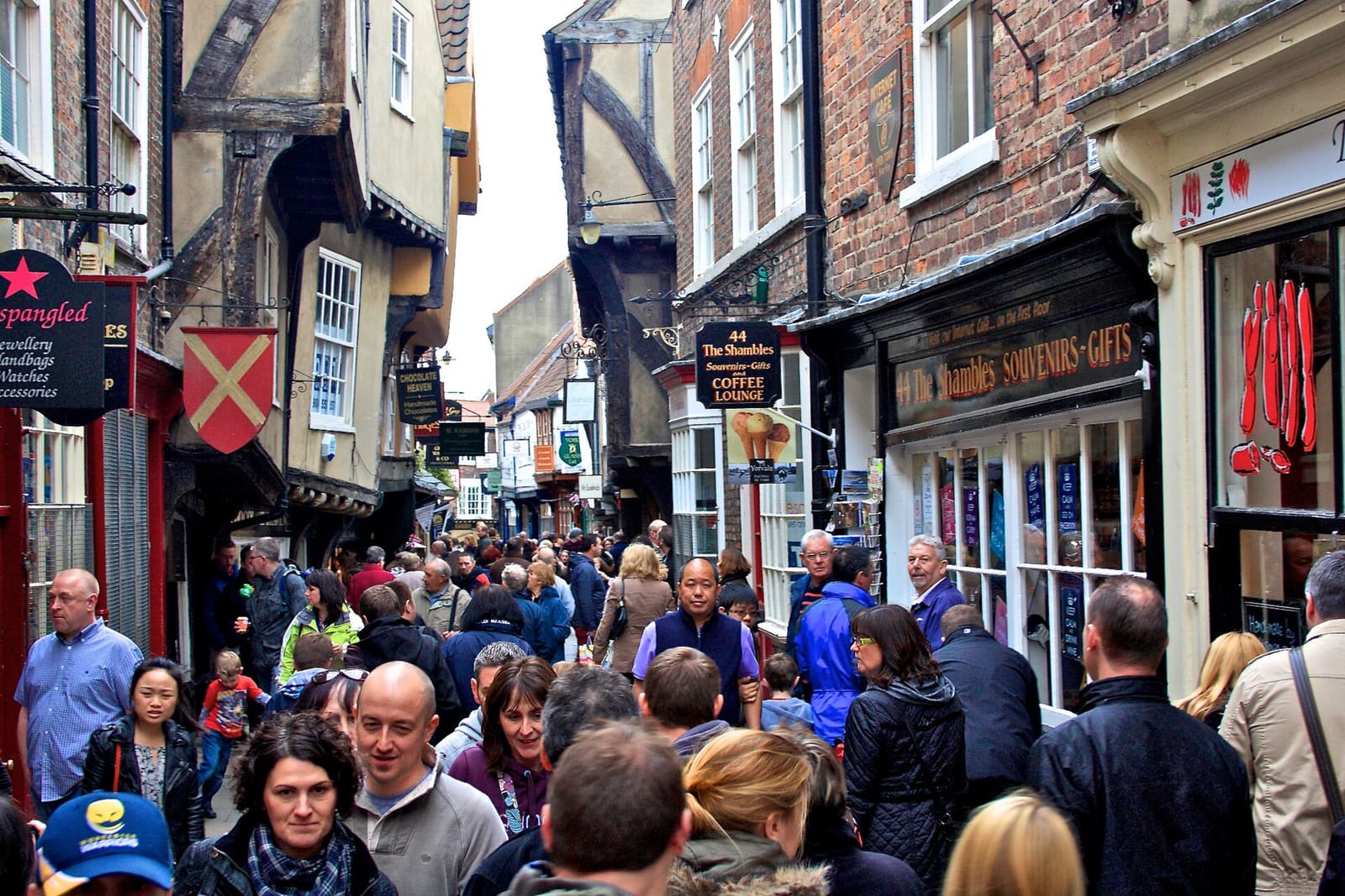
While you are here
Things to see in The Shambles and Stonegate
A few of the sights in the area. The Things to do page lists them all, with directions and official links.
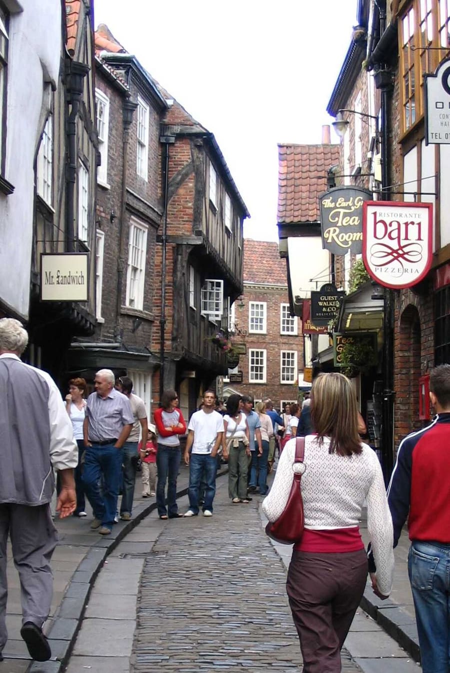
The Shambles
Smalle middeleeuwse straat met overhangende vakwerkhuizen, waar vroeger slagerijen langs stonden.
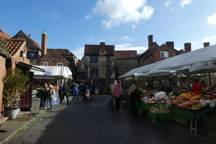
Shambles Market
Markt met eetkraampjes en andere kramen vlak achter the Shambles.
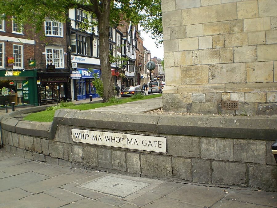
Whip-Ma-Whop-Ma-Gate
Korte straat met een beroemd lange naam, tussen Pavement en Colliergate.
York
More areas to explore
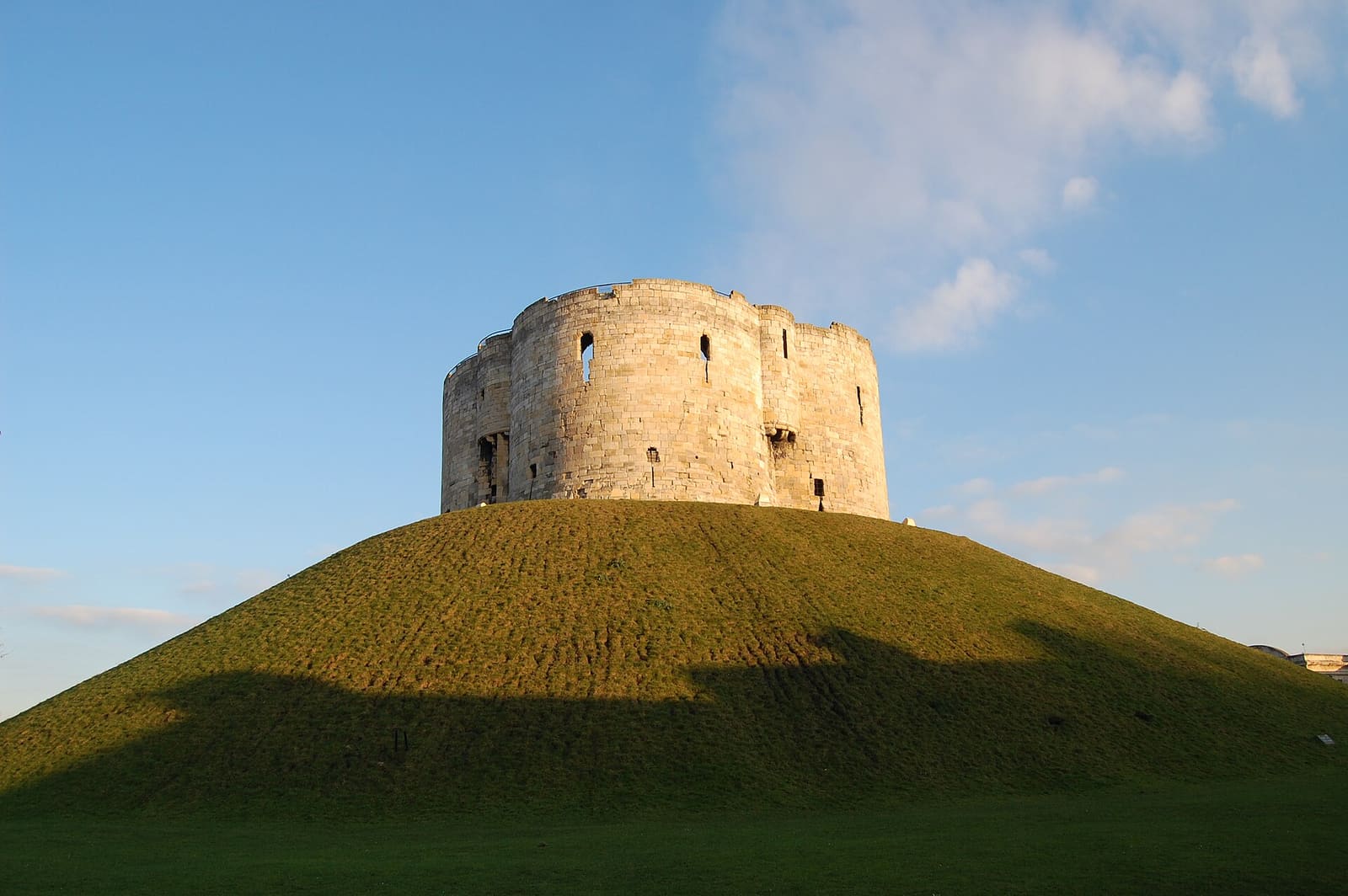
Castle, Fossgate and Walmgate
Clifford's Tower, het Castle Museum en de straten langs de Foss
Open de minigids →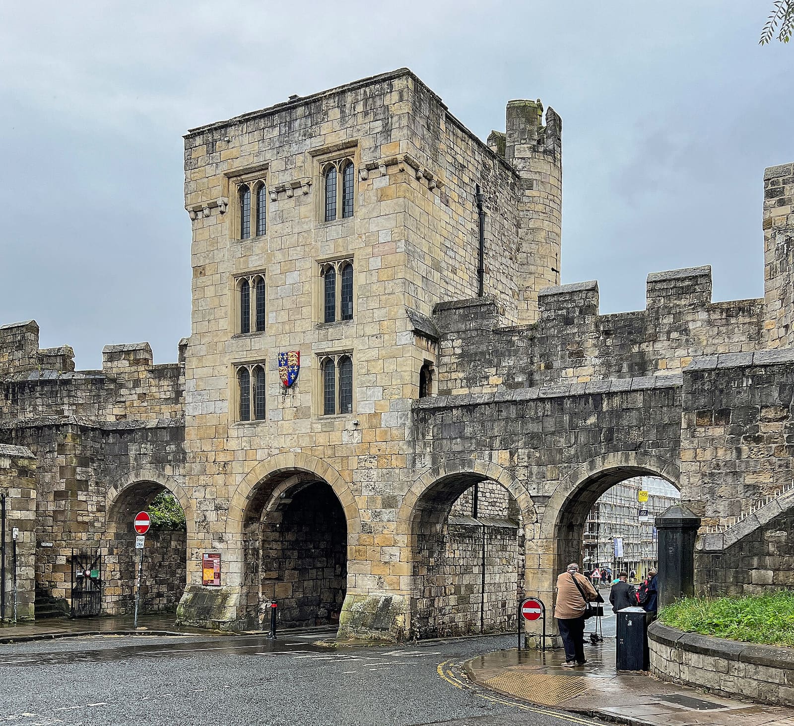
Micklegate and Bishopthorpe Road
Micklegate Bar, de pubs van Micklegate en de winkels van Bishopthorpe Road
Open de minigids →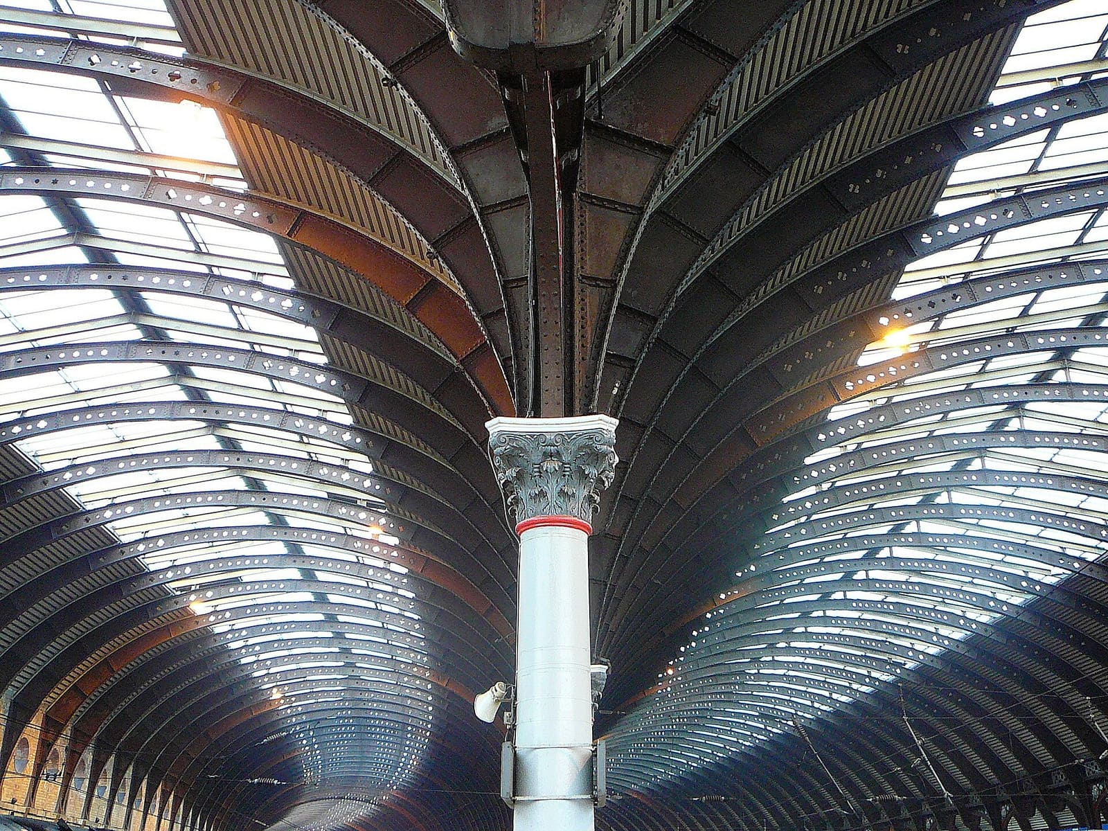
Station and Museum Gardens
Het National Railway Museum, het station en de Museum Gardens
Open de minigids →Fotoverantwoording
- Coney Street: Keith Laverack, CC BY-SA 2.0, source
- The Shambles and Stonegate (area photo): Paul Buckingham, CC BY-SA 2.0, source
- The Shambles: Vincej at en.wikipedia, Public domain, source
- Shambles Market: DS Pugh, CC BY-SA 2.0, source
- Whip-Ma-Whop-Ma-Gate: Kaly99, CC BY-SA 3.0, source
- Castle, Fossgate and Walmgate: Steven Fruitsmaak, Public domain, source
- Micklegate and Bishopthorpe Road: Tim Green, CC BY 2.0, source
- Station and Museum Gardens: Tim Green from Bradford, CC BY 2.0, source
- Minster Quarter: Chris Gorringe, CC BY-SA 2.0, source
Photos from Wikimedia Commons, used under the licences shown. All photo credits
Ontdek meer van York