 English (UK)
 English (US)
 Français
 Deutsch
 Español
 Italiano
 Nederlands
 简体中文
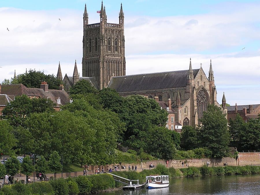
Kathedraal
Worcester Cathedral
Cathedral founded in 680, with fabric from every century from the 11th to the 16th, beside the River Severn.
Routebeschrijving Website Report a problem with Worcester Cathedral
Een minigids voor
Cathedral and river, Friar Street, the Commandery and the High Street
 1 / 6
Welkom in het gebied
Worcester's centre runs north to south along the High Street and Foregate Street. At the southern end the cathedral rises above the River Severn, with the Old Palace beside it. The Commandery, the Royalist headquarters in the Civil War, and Fort Royal Park, on the site of a Civil War fort, are just to the east, and the Museum of Royal Worcester is on Severn Street.
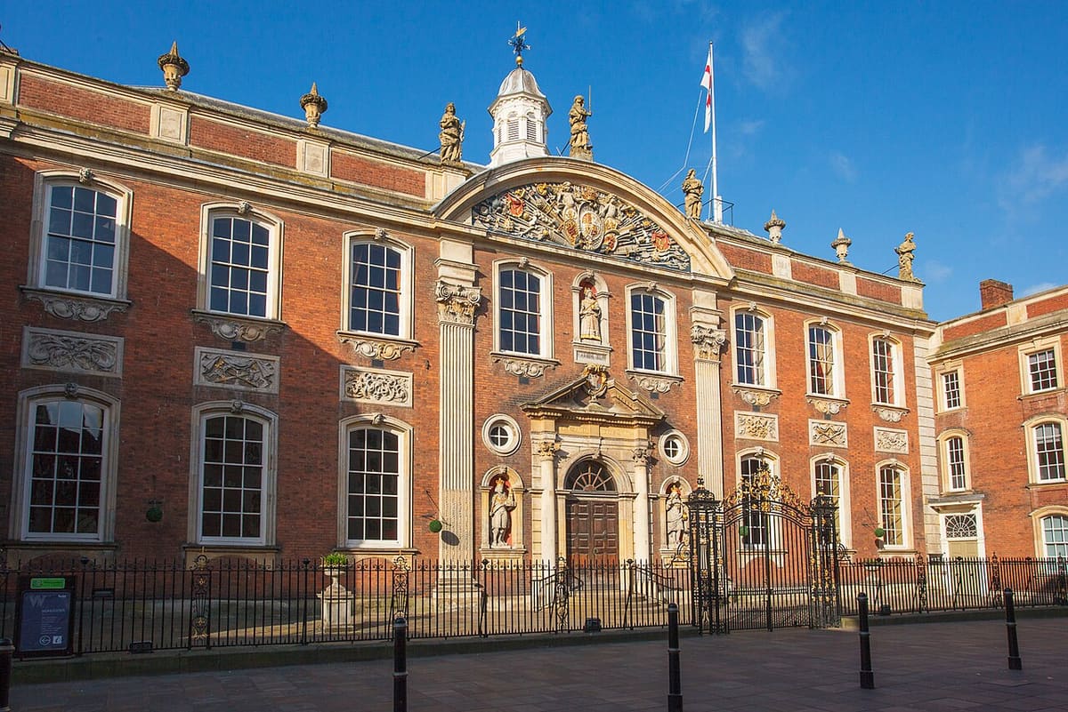
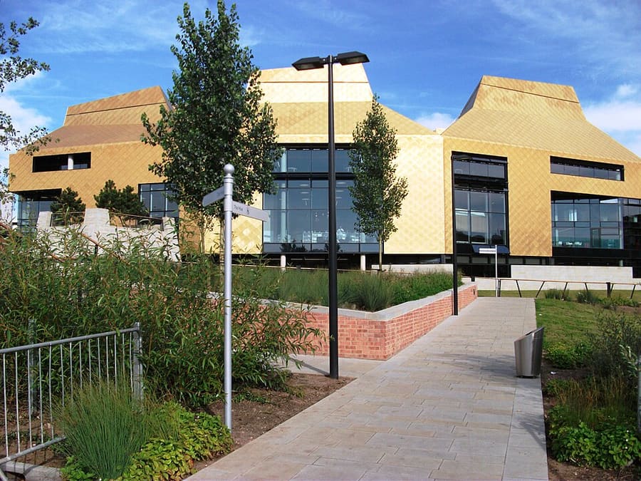
Friar Street has the timber-framed Greyfriars, built around 1485. The Guildhall is on the High Street, the Glover's Needle spire stands near the cathedral, and the Hive library is on the north-west edge of the centre. New Road cricket ground lies across the river from the cathedral.
Hoogtepunten
Hebt u slechts enkele uren, dan zijn dit goede plekken om te beginnen.
Cathedral founded in 680, with fabric from every century from the 11th to the 16th, beside the River Severn.
Routebeschrijving Website Report a problem with Worcester Cathedral
Museum in a building that has been a monastic hospital, a family home and the Royalist headquarters in the Civil War.
Routebeschrijving Website Report a problem with The Commandery
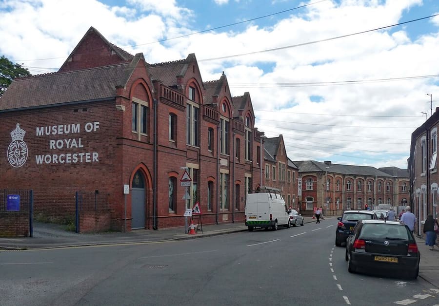
Ceramics museum on the former site of the Royal Worcester porcelain factory.
Routebeschrijving Website Report a problem with Museum of Royal Worcester
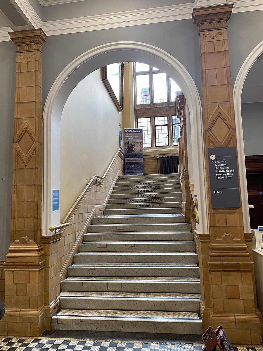
The city's art gallery and local museum, run by Museums Worcestershire.
Routebeschrijving Website Report a problem with Worcester City Art Gallery & Museum
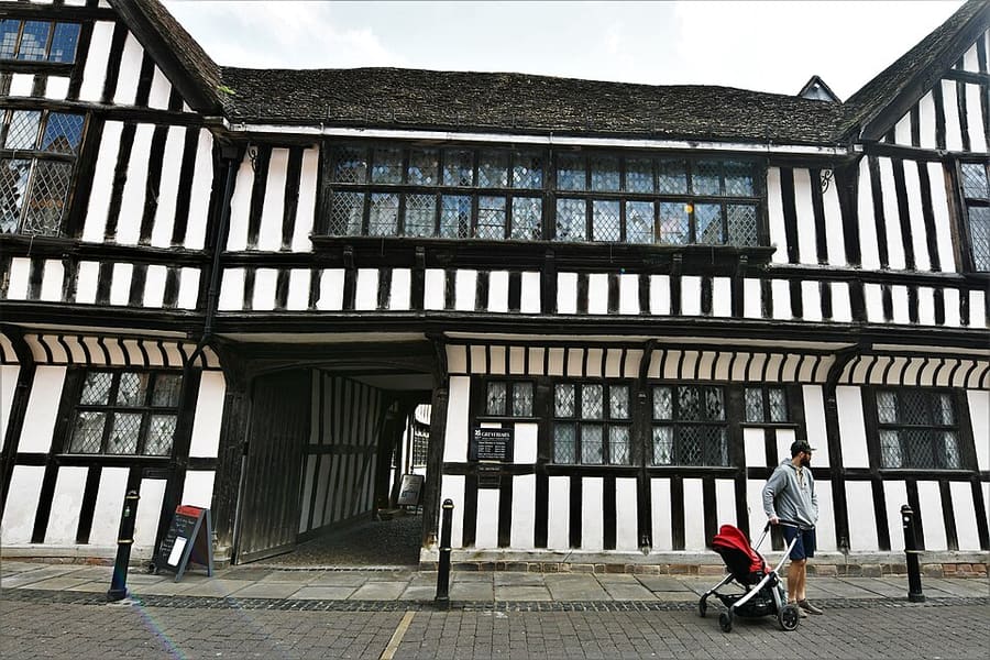
Grade I listed timber-framed house built around 1485 for the brewer Thomas Grene; owned by the National Trust since 1966.
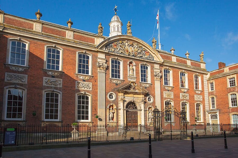
Grade I listed seat of the city council on the High Street, also used as a cultural venue.
Vind uw weg
The map shows Worcester city centre and the streets around it. The Getting there page lists nearby stops and stations.
Insidertips
The cathedral tower is seen best from across the River Severn, according to Wikipedia; walk over the bridge for the view.
The Commandery, the Royalist headquarters, and Fort Royal Park, on the site of a Civil War fort, are close together east of the cathedral.
Visit Worcestershire says the West Midlands Railway service from Birmingham New Street stops at Worcester Foregate Street, north of the cathedral.
Tips van de Britlens-redactie
Photos from Wikimedia Commons, used under the licences shown. All photo credits
Keep exploring Worcester