 English (UK)
 English (US)
 Français
 Deutsch
 Español
 Italiano
 Nederlands
 简体中文

Een minigids voor
Kenilworth: getting there
Stops, stations and how to reach Kenilworth
Haltes en stations
Getting to Kenilworth
Kies de halte die het dichtst bij uw bestemming ligt.
| Halte of station | Voorzieningen | Geschikt voor |
|---|---|---|
| Kenilworth station | West Midlands Railway (station manager) | On the Coventry to Leamington line; step-free to all platforms, according to National Rail |
Within walking range
Stations near Kenilworth
Stations and stops mapped in OpenStreetMap within 2.5 km of the centre of Kenilworth, nearest first. Distances are straight lines; walking times assume 5 km/h and are a minimum.
| Station or stop | Type | Afstand | Te voet |
|---|---|---|---|
| Kenilworth | Station | 500 m | about 6 min |
Station data: © OpenStreetMap contributors (ODbL), read 3 November 2026. Check step-free access with the operator before you travel.
Walking from nearby areas
- Royal Leamington Spa: 6.8 km from Kenilworth, better by public transport
- Warwick: 6.9 km from Kenilworth, better by public transport
- Stratford-upon-Avon: 18.9 km from Kenilworth, better by public transport
Reaching Stratford & Warwickshire
Officiële reisinformatie
Stratford-upon-Avon, Warwick, Leamington Spa and Kenilworth all have railway stations, and the towns are close enough to visit together. Always check the operators for current times, fares and disruption.
- Shakespeare's England (official tourism site) → — Covers Stratford-upon-Avon, Warwick, Kenilworth and Leamington Spa
- National Rail Enquiries → — Live departures and station facilities
- Chiltern Railways → — London Marylebone to Leamington Spa and Warwick
- West Midlands Railway → — Birmingham and Coventry services, including Stratford and Kenilworth
- Warwickshire County Council: buses → — Local bus routes and timetables
Tijden, tarieven en storingen veranderen: raadpleeg de bovenstaande pagina's van de vervoerders voor actuele informatie.
Plan hier uw reis
Enter your starting point and Google Maps will show routes to Kenilworth. Public transport is selected; change it on the map. Check operator sites for live disruption.
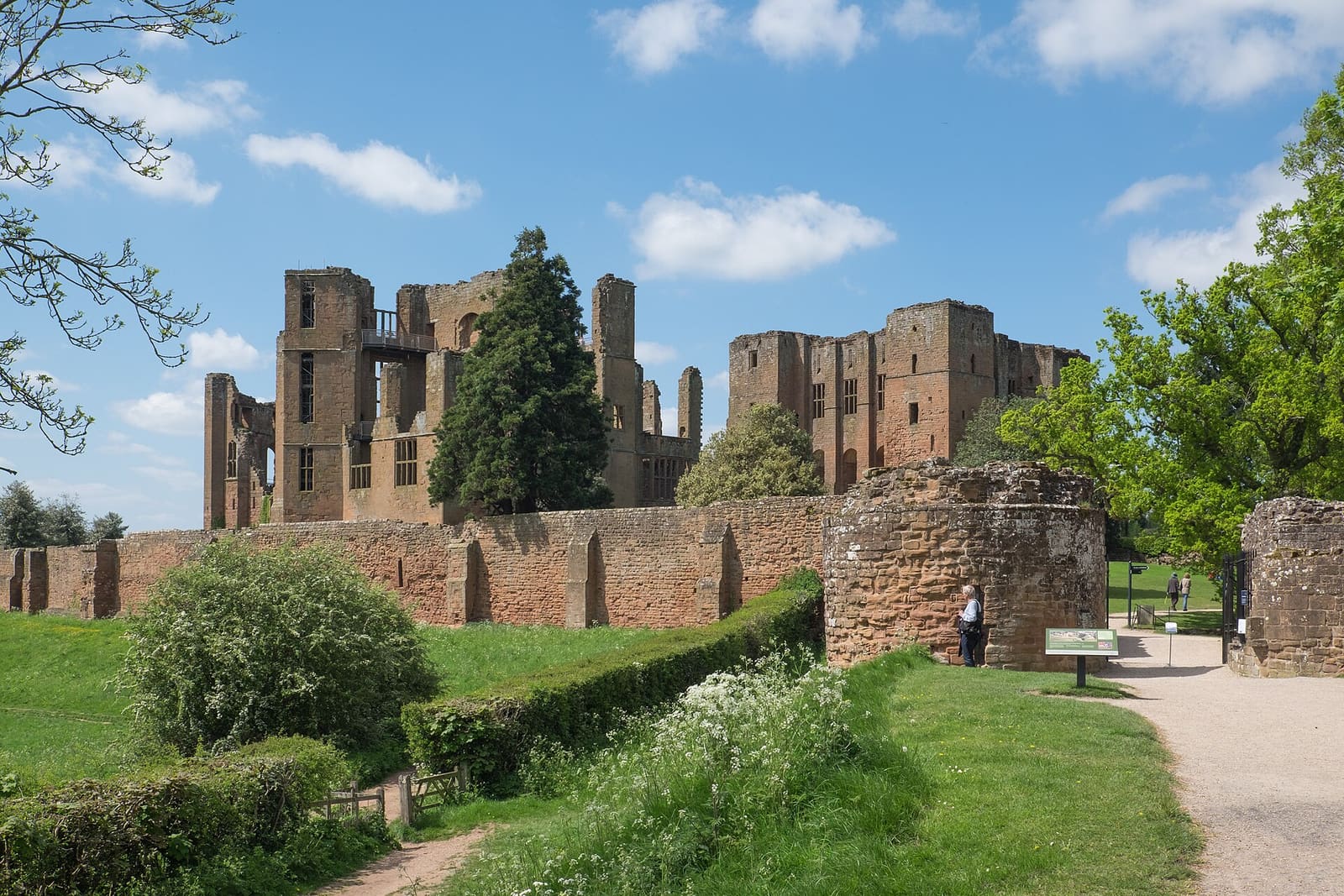
While you are here
Things to see in Kenilworth
A few of the sights in the area. The Things to do page lists them all, with directions and official links.
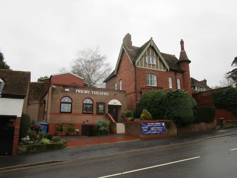
Priory Theatre
Amateur theatre with 120 seats in circle and stalls, staging drama, comedy, thrillers, musicals and pantomime.
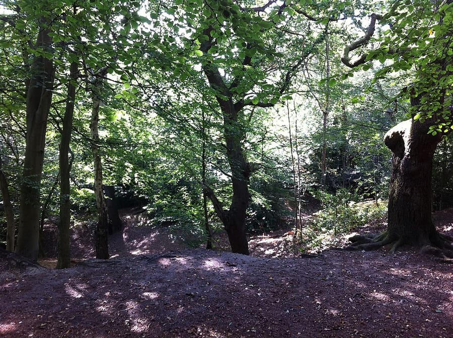
Kenilworth Common
Warwickshire Wildlife Trust nature reserve on a historic common, with woodland walks north-east of the centre.
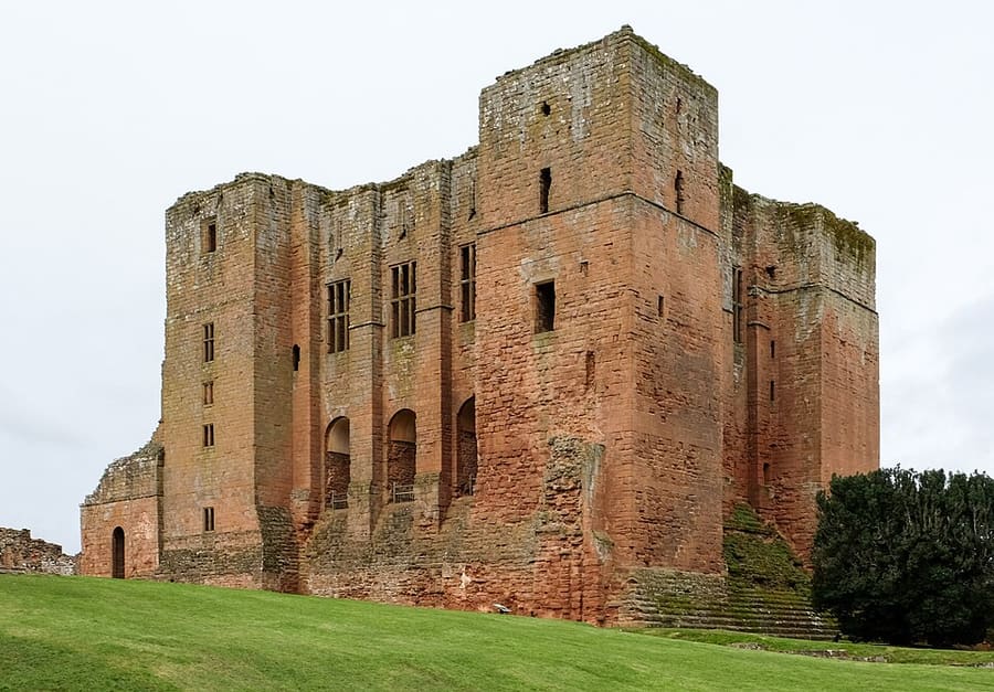
Kenilworth Castle and Elizabethan Garden
Largely ruined English Heritage castle, founded after 1066 and turned into a Tudor palace, with a recreated Elizabethan garden.
Stratford & Warwickshire
More areas to explore
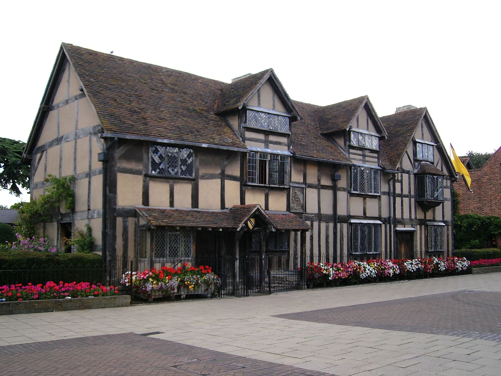
Stratford-upon-Avon
Shakespeare's birthplace, his family homes and the Royal Shakespeare Company beside the Avon
Open de minigids →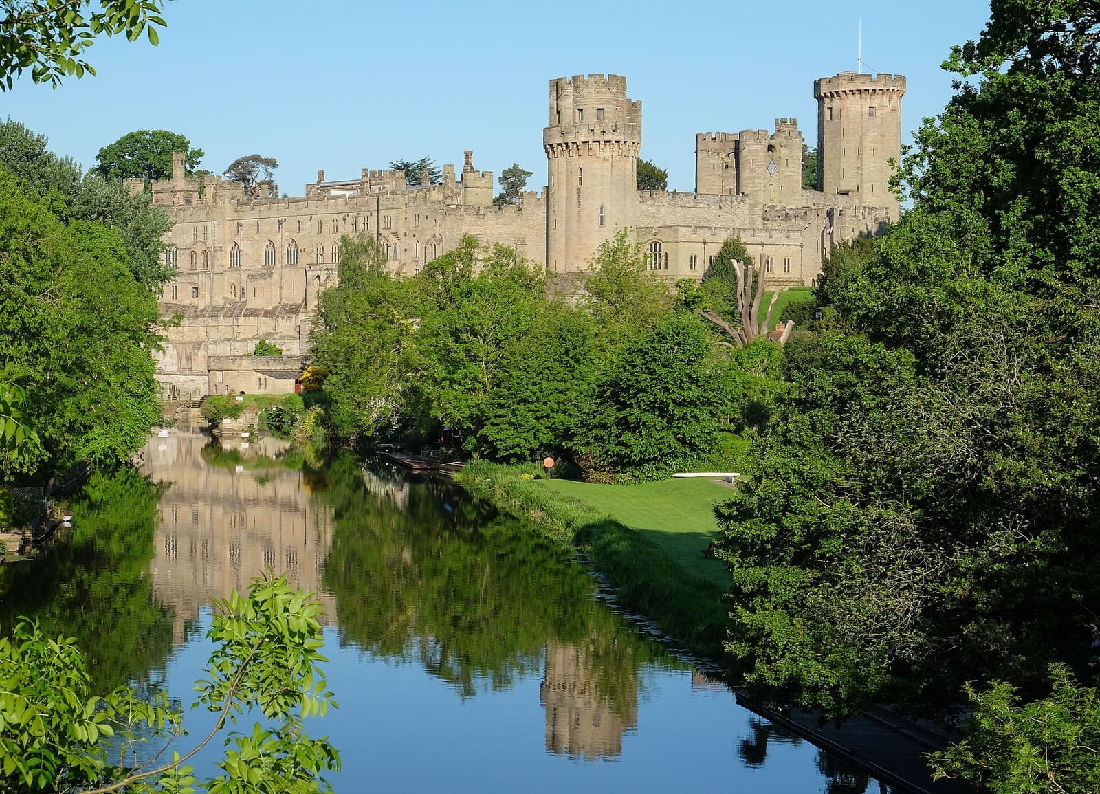
Warwick
Warwickshire's county town, with its castle above the Avon and medieval streets
Open de minigids →
Royal Leamington Spa
A spa town of parks along the River Leam, the Royal Pump Rooms and the Parade
Open de minigids →Fotoverantwoording
- St Nicholas Church: Motacilla, CC BY-SA 4.0, source
- Kenilworth (area photo): DeFacto, CC BY-SA 4.0, source
- Priory Theatre: Jonathan Thacker, CC BY-SA 2.0, source
- Kenilworth Common: A J Paxton, CC BY-SA 2.0, source
- Kenilworth Castle and Elizabethan Garden: DeFacto, CC BY-SA 4.0, source
- Stratford-upon-Avon: Stuart Yeates [1], CC BY-SA 2.0, source
- Warwick: DeFacto, CC BY-SA 4.0, source
- Royal Leamington Spa: David Dixon, CC BY-SA 2.0, source
Photos from Wikimedia Commons, used under the licences shown. All photo credits
Keep exploring Stratford & Warwickshire