 English (UK)
 English (US)
 Français
 Deutsch
 Español
 Italiano
 Nederlands
 简体中文
Een minigids voor
Titanic Quarter & East Belfast: hoe komt u er
Haltes, stations en hoe u bij Titanic Quarter & East Belfast komt
Haltes en stations
Hoe komt u bij Titanic Quarter & East Belfast
Kies de halte die het dichtst bij uw bestemming ligt.
| Halte of station | Voorzieningen | Geschikt voor |
|---|---|---|
| Titanic Quarter | Treinen | Station in het oosten van Belfast, op korte loopafstand van het Titanic Quarter en het Odyssey complex |
| Glider G2 | Snelbus (bus rapid transit) | Translink-lijn tussen het stadscentrum en het Titanic Quarter |
| Glider G1 | Snelbus (bus rapid transit) | Translink-lijn tussen West- en Oost-Belfast via het stadscentrum |
| Belfast City Airport | Vluchten | George Best Belfast City Airport ligt naast Belfast Harbour, ongeveer drie mijl van het stadscentrum, volgens Wikipedia |
Within walking range
Stations near Titanic Quarter & East Belfast
Stations and stops mapped in OpenStreetMap within 2.5 km of the centre of Titanic Quarter & East Belfast, nearest first. Distances are straight lines; walking times assume 5 km/h and are a minimum.
| Station or stop | Type | Afstand | Te voet |
|---|---|---|---|
| York Street | Rail station (Translink NI Railways) | 1.5 km | about 18 min |
| Sydenham | Rail station (Translink NI Railways) | 1.5 km | about 18 min |
| Laganside Bus Centre | Bus or coach station (Translink Ulsterbus) | 1.6 km | about 19 min |
| Ulsterbus Laganside | Bus or coach station (Translink Ulsterbus) | 1.6 km | about 19 min |
| Belfast Lanyon Place | Rail station (Translink NI Railways) | 1.6 km | about 20 min |
Station data: © OpenStreetMap contributors (ODbL), read 1 November 2026. Check step-free access with the operator before you travel.
Walking from nearby areas
- Belfast city centre & Cathedral Quarter: 1.9 km from Titanic Quarter & East Belfast, about 23 min on foot
- The Mournes & Newcastle: 43.5 km from Titanic Quarter & East Belfast, better by public transport
- The Causeway Coast: 78.3 km from Titanic Quarter & East Belfast, better by public transport
- Derry~Londonderry: 100.2 km from Titanic Quarter & East Belfast, better by public transport
Noord-Ierland bereiken
Officiële reisinformatie
Noord-Ierland heeft twee luchthavens voor Belfast, een regionale luchthaven bij Derry~Londonderry, veerhavens in Belfast en Larne, en een trein- en busnetwerk van Translink. Controleer altijd bij de vervoerder de actuele tijden, tarieven en verstoringen.
- Discover Northern Ireland → — de officiële bezoekerssite van Tourism Northern Ireland
- Visit Belfast → — de officiële bezoekerssite van de stad
- Visit Derry → — officiële toeristensite voor Derry~Londonderry
- Causeway Coast and Glens → — de officiële gids voor de noordkust
- Fermanagh Lakelands → — officiële toeristische site voor Fermanagh
- Visit Mourne Mountains → — official tourism site for the Mournes and Ring of Gullion
- Translink → — bussen en treinen in heel Noord-Ierland
- Belfast International Airport → — vluchten en transfers
- George Best Belfast City Airport → — vluchten en transfers
- City of Derry Airport → — vluchten voor het noordwesten
- Stena Line → — veerboten naar Belfast
- P&O Ferries → — veerboten naar Larne
- GOV.UK: electronic travel authorisation → — wie een ETA nodig heeft om het Verenigd Koninkrijk te bezoeken
Tijden, tarieven en storingen veranderen: raadpleeg de bovenstaande pagina's van de vervoerders voor actuele informatie.
Plan hier uw reis
Voer uw vertrekpunt in en Google Maps toont routes naar Titanic Quarter & East Belfast. Openbaar vervoer is geselecteerd; wijzig dit op de kaart. Controleer de websites van de vervoerders voor actuele verstoringen.
While you are here
Things to see in Titanic Quarter & East Belfast
A few of the sights in the area. The Things to do page lists them all, with directions and official links.
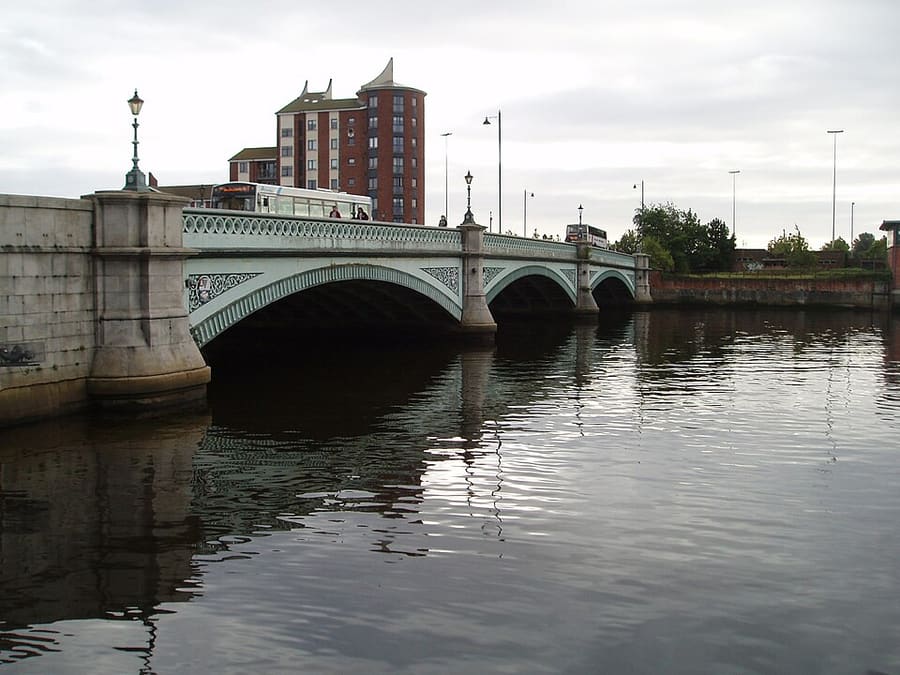
Albert Bridge
Brug met drie bogen over de River Lagan, voltooid in 1890 en genoemd naar prins Albert Victor.
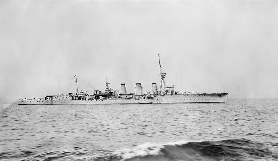
HMS Caroline
Lichte kruiser, voltooid in 1914 en ingezet in de Eerste Wereldoorlog, nu een museumschip in Alexandra Dock.
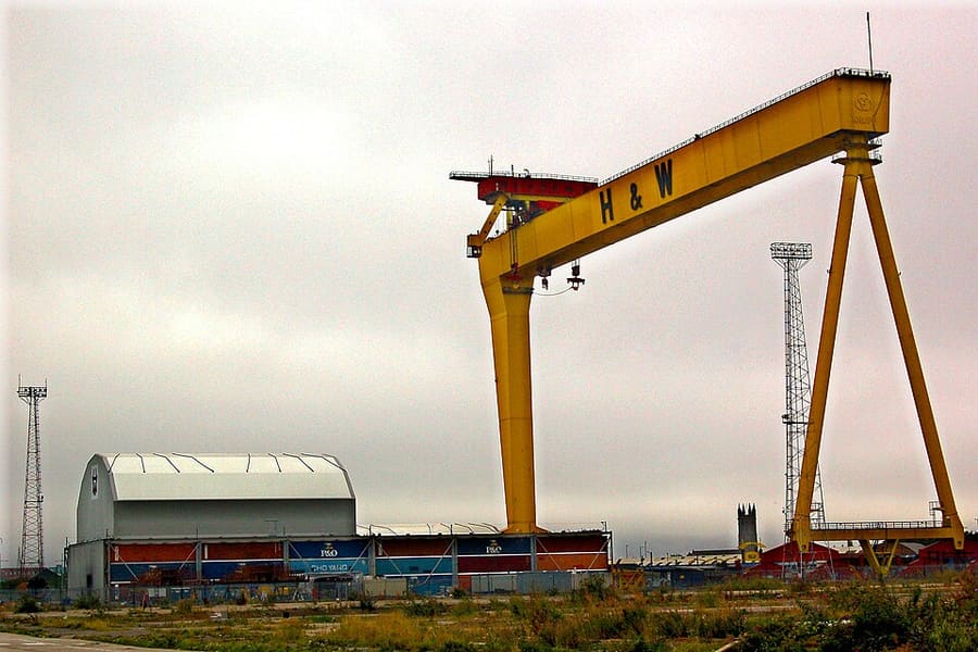
Samson and Goliath
Twee scheepsbouwkranen op Queen's Island, genoemd naar bijbelse figuren en beeldbepalend voor de skyline van Belfast.
Noord-Ierland
More areas to explore
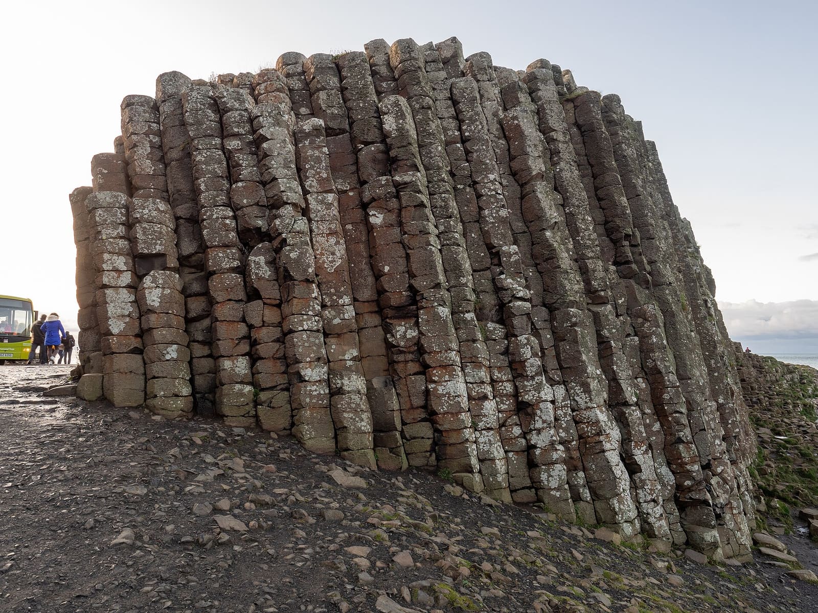
The Causeway Coast
Basaltzuilen, kasteelruïnes en kliffen tussen Portrush en Ballycastle
Open de minigids →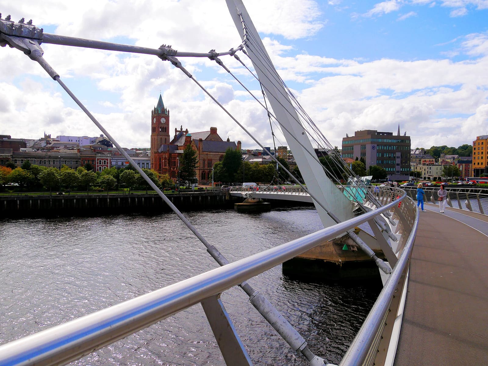
Derry~Londonderry
Een ommuurde stad aan de River Foyle met musea, kathedralen en een voetgangersbrug over het water
Open de minigids →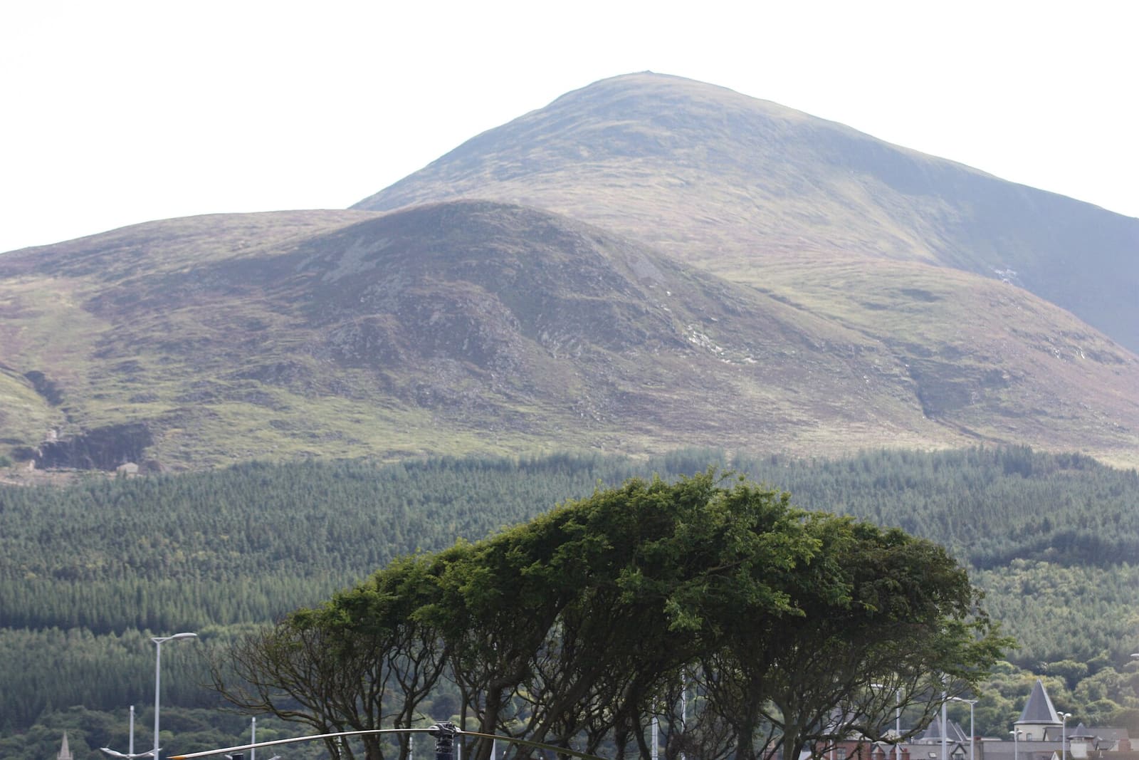
The Mournes & Newcastle
Granieten bergen, bosparken en een badplaats aan de voet van de Slieve Donard
Open de minigids →Fotoverantwoording
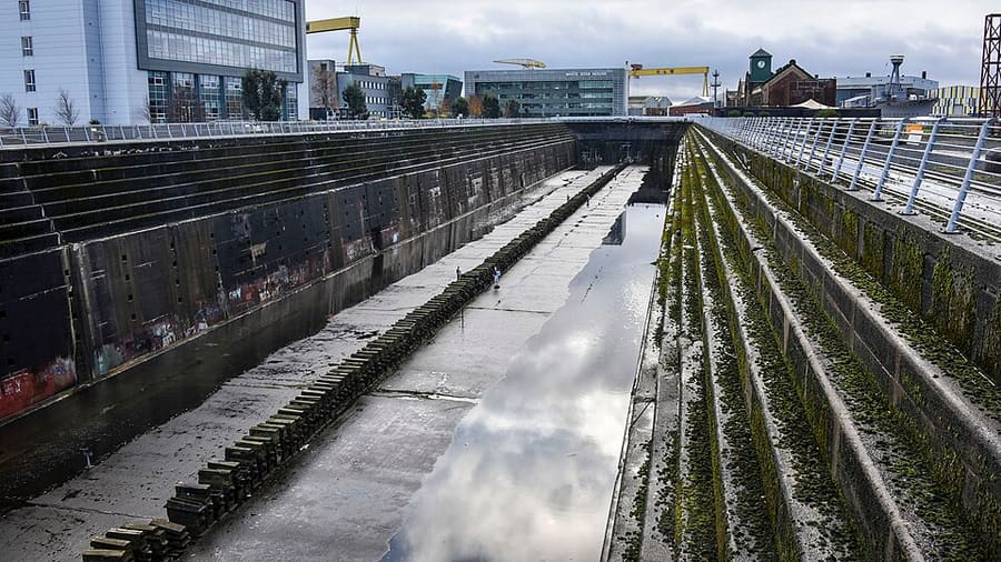
- Thompson Dock and Pump-House: Paul Hermans, CC BY-SA 4.0, source
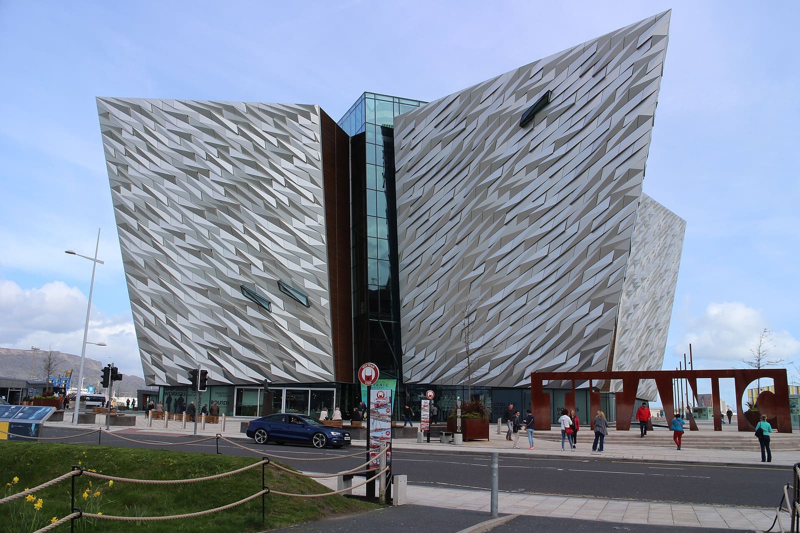
- Titanic Quarter & East Belfast (area photo): Suicasmo, CC BY-SA 4.0, source
- Albert Bridge: Chris Andrews, CC BY-SA 2.0, source
- HMS Caroline: Surgeon Oscar Parkes, Public domain, source
- Samson and Goliath: Joseph Mischyshyn, CC BY-SA 2.0, source
- The Causeway Coast: Ajay Suresh from New York, NY, USA, CC BY 2.0, source
- Derry~Londonderry: Mario Falcetti, CC BY 4.0, source
- The Mournes & Newcastle: Ardfern, CC BY-SA 3.0, source
- Fermanagh Lakelands: Joli, CC BY-SA 4.0, source
- Belfast city centre & Cathedral Quarter: Bryn Holmes, CC BY-SA 2.0, source
Photos from Wikimedia Commons, used under the licences shown. All photo credits
Ontdek meer van Noord-Ierland