 English (UK)
 English (US)
 Français
 Deutsch
 Español
 Italiano
 Nederlands
 简体中文
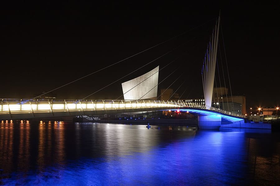
Een minigids voor
Salford Quays & MediaCity: hoe komt u er
Haltes, stations en hoe u bij Salford Quays & MediaCity komt
Haltes en stations
Hoe komt u bij Salford Quays & MediaCity
Kies de halte die het dichtst bij uw bestemming ligt.
| Halte of station | Voorzieningen | Geschikt voor |
|---|---|---|
| Salford Quays | Metrolink | Tramhalte aan de westkant van de dokken, bij The Lowry |
| MediaCityUK | Metrolink | Tramhalte bij het mediagebied en Quayside |
| Imperial War Museum | Metrolink | Tramhalte voor het Imperial War Museum North |
| Exchange Quay | Metrolink | Tramhalte bij Ordsall Hall en, op wedstrijddagen, Old Trafford |
| Old Trafford | Metrolink | Tramhalte voor de voetbal- en cricketstadions |
Within walking range
Stations near Salford Quays & MediaCity
Stations and stops mapped in OpenStreetMap within 2.5 km of the centre of Salford Quays & MediaCity, nearest first. Distances are straight lines; walking times assume 5 km/h and are a minimum.
| Station or stop | Type | Afstand | Te voet |
|---|---|---|---|
| Harbour City | Tram stop (KeolisAmey Metrolink) | 400 m | about 5 min |
| Wharfside | Tram stop (KeolisAmey Metrolink) | 500 m | about 6 min |
| Broadway | Tram stop (KeolisAmey Metrolink) | 500 m | about 6 min |
Station data: © OpenStreetMap contributors (ODbL), read 25 October 2026. Check step-free access with the operator before you travel.
Walking from nearby areas
- Castlefield & the Canals: 2.6 km from Salford Quays & MediaCity, about 31 min on foot
- Spinningfields & Deansgate: 3.1 km from Salford Quays & MediaCity, about 37 min on foot
- Piccadilly, Chinatown & the Village: 3.6 km from Salford Quays & MediaCity, about 43 min on foot
- Northern Quarter & Cathedral: 3.8 km from Salford Quays & MediaCity, about 46 min on foot
Manchester bereiken
Officiële reisinformatie
Manchester heeft een internationale luchthaven ten zuiden van het centrum, vier grote treinstations en een busstation bij Piccadilly Gardens. Controleer altijd bij de vervoerder de actuele tijden, tarieven en verstoringen.
- Visit Manchester → — de officiële bezoekerssite van de stad
- Manchester Airport: van en naar de luchthaven → — trein, tram, bus en taxi
- Bee Network (TfGM) → — routeplanner, reisupdates, tickets
- Bee Network: tram → — Metrolink-routes en geplande werkzaamheden
- Bee Network: contactloos betalen in bus en tram → — hoe tikken en gaan werkt, met dag- en weekmaxima
- Bee Network: bus → — routes en tickets
- Bee Network: toegankelijk reizen → — hulp tijdens het reizen
- National Rail Enquiries → — treintijden en tarieven
- Avanti West Coast → — London Euston en de West Coast
- TransPennine Express → — treinen naar het noorden en over de Pennines
- Northern → — regionale treinen
- Manchester City Council → — lokale informatie
Tijden, tarieven en storingen veranderen: raadpleeg de bovenstaande pagina's van de vervoerders voor actuele informatie.
Plan hier uw reis
Voer uw vertrekpunt in en Google Maps toont routes naar Salford Quays & MediaCity. Openbaar vervoer is geselecteerd; wijzig dit op de kaart. Controleer de websites van de vervoerders voor actuele verstoringen.
While you are here
Things to see in Salford Quays & MediaCity
A few of the sights in the area. The Things to do page lists them all, with directions and official links.
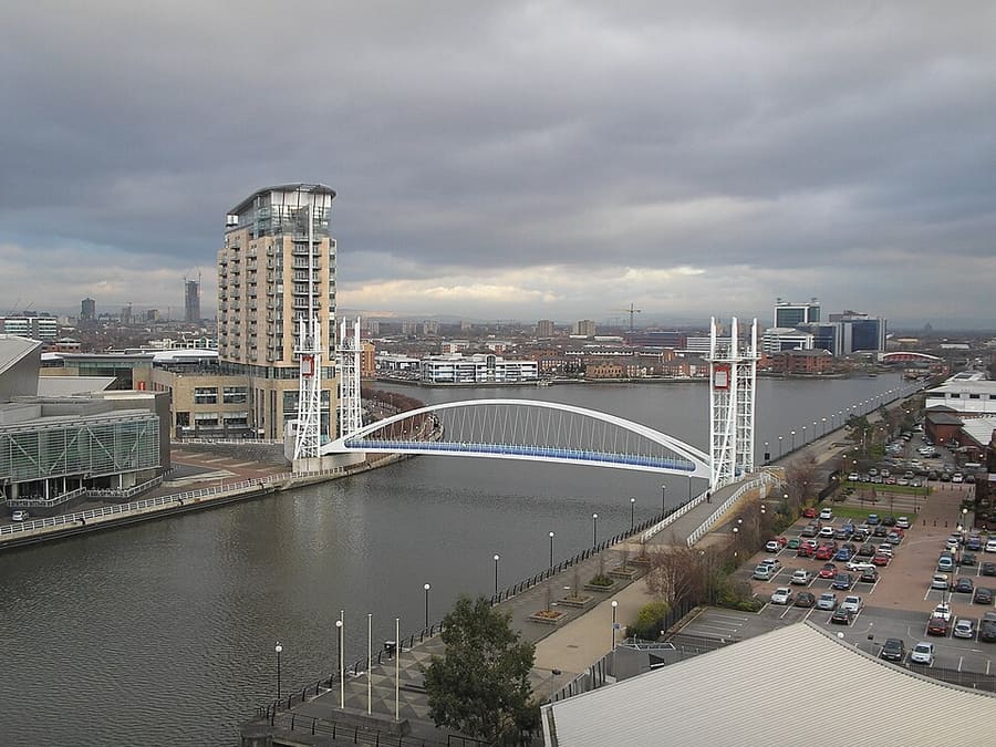
Salford Quays Lift Bridge
Voetgangersbrug met verticale lift uit 2000 naast The Lowry, die Salford en Trafford over het Ship Canal verbindt.
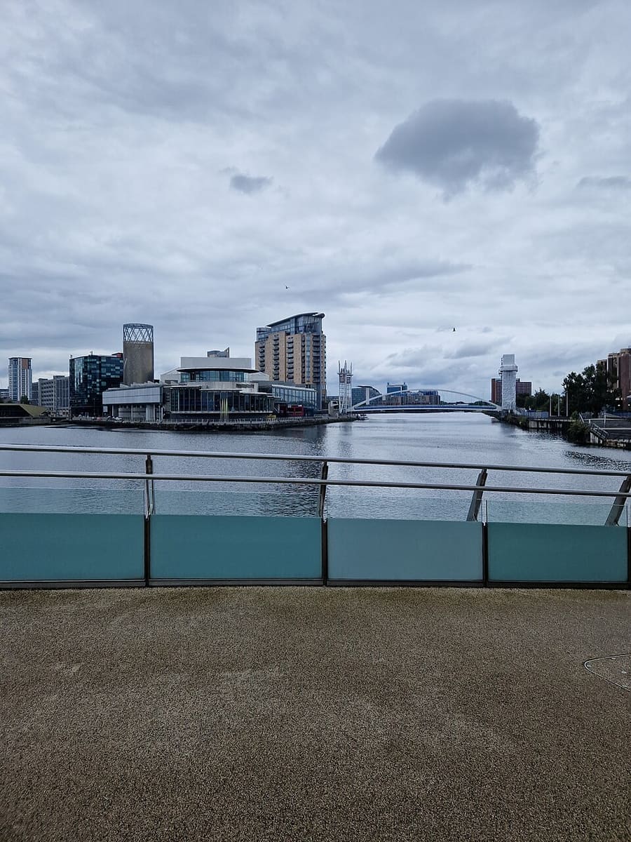
Salford Quays
Voormalige Manchester Docks aan het einde van het Manchester Ship Canal, nu een waterfront met havenbassins, wandelroutes en appartementen.
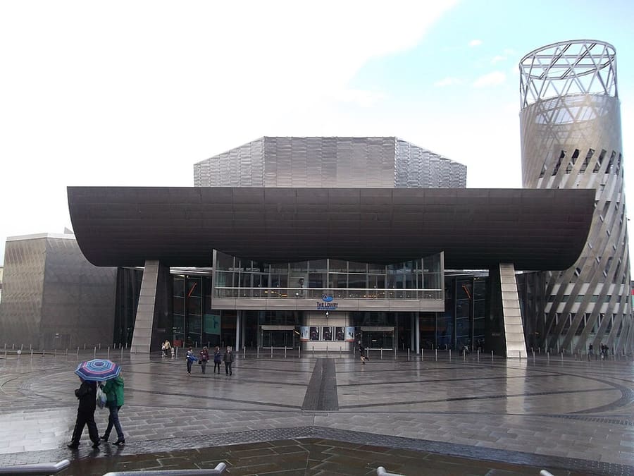
The Lowry
Theater- en galeriecomplex aan Salford Quays, genoemd naar de schilder L. S. Lowry en geopend in 2000.
Manchester
More areas to explore
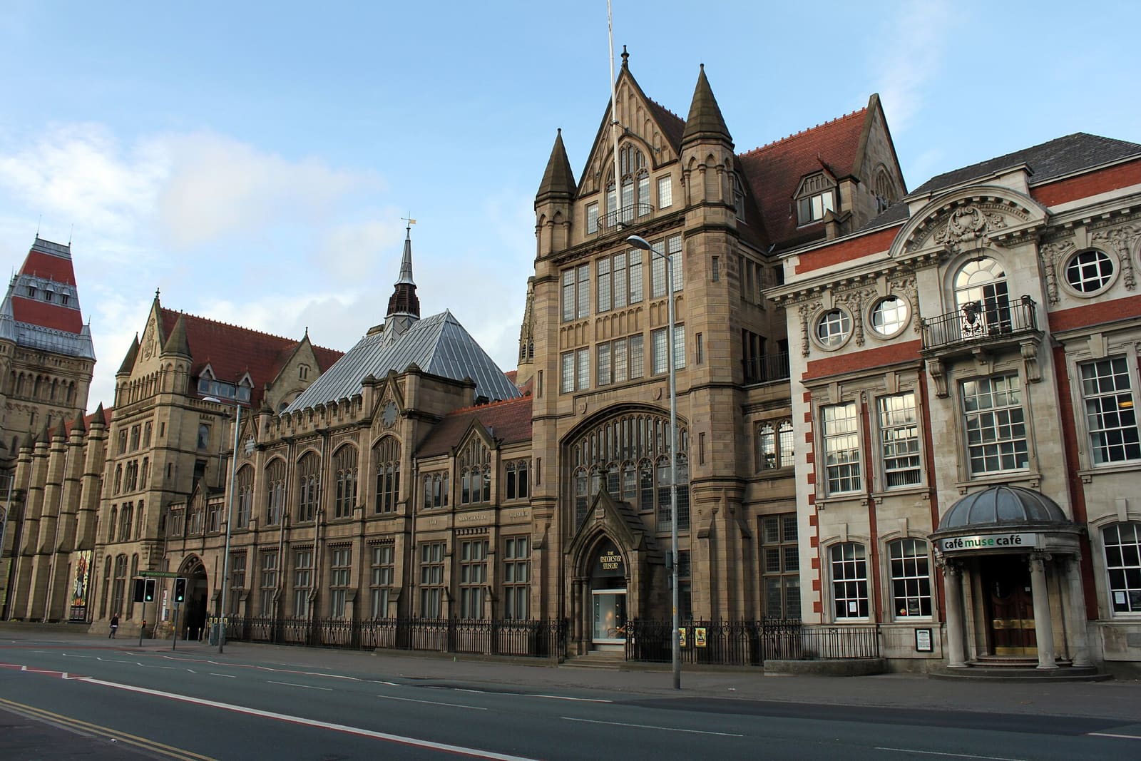
Oxford Road & Rusholme
Universiteiten, galerieën en de Curry Mile langs één lange weg ten zuiden van het centrum
Open de minigids →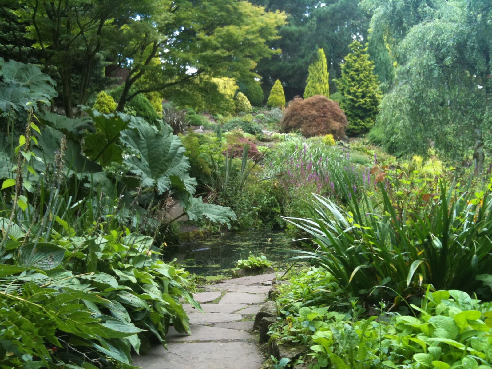
Chorlton & Didsbury
Twee dorpen in het zuiden met parken, wandelingen langs de rivier en volop eetgelegenheden
Open de minigids →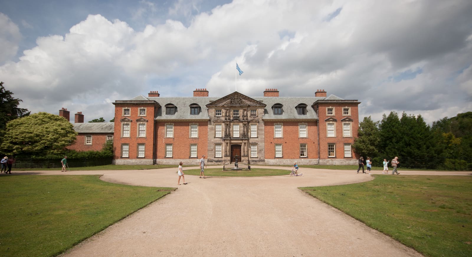
Altrincham & Sale
Marktstad, jaagpaden langs kanalen en landgoedparken ten zuidwesten van de stad
Open de minigids →Fotoverantwoording
- Media City Footbridge: Parrot of Doom, CC BY-SA 3.0, source
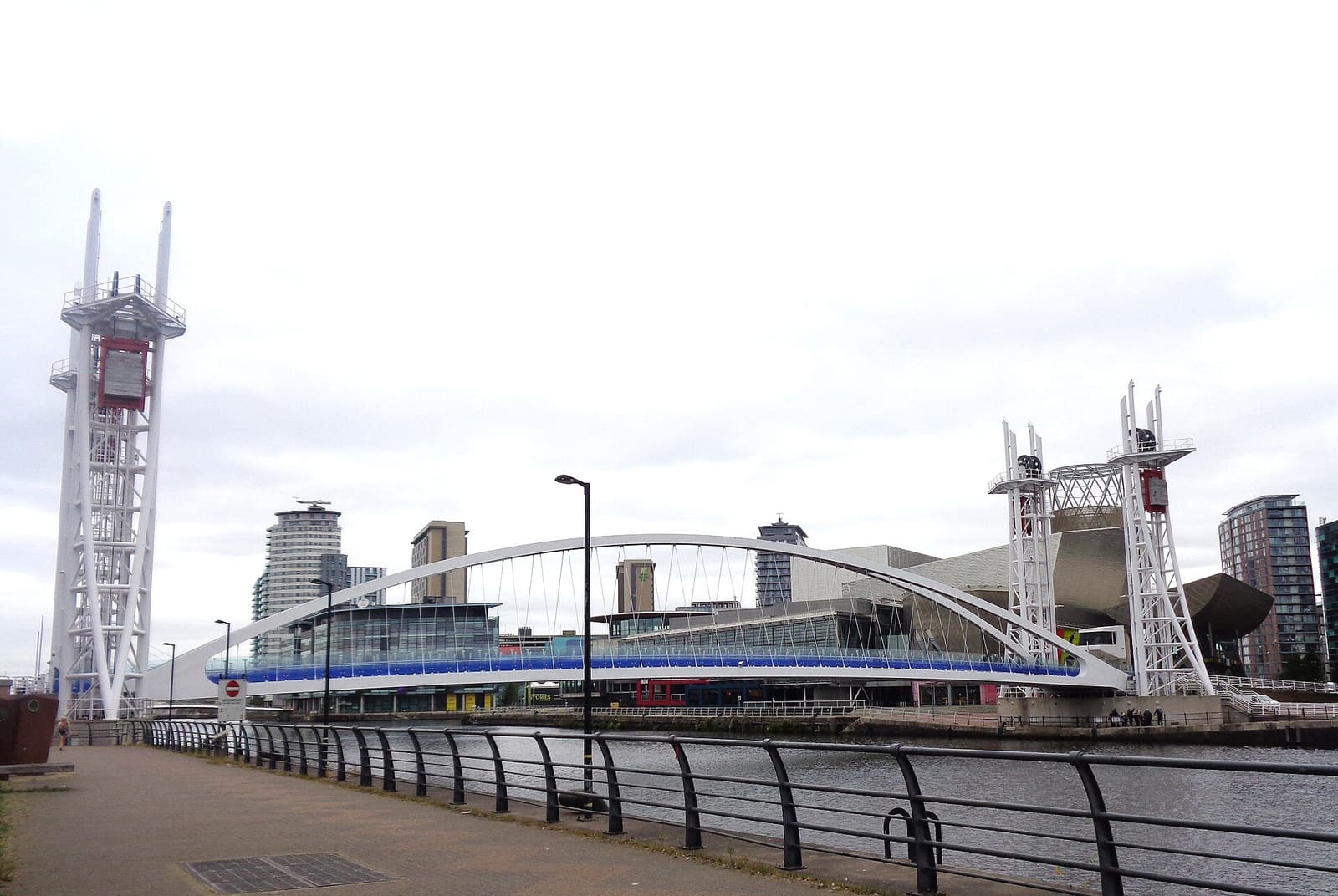
- Salford Quays & MediaCity (area photo): Rosser1954, CC BY 4.0, source
- Salford Quays Lift Bridge: The original uploader was Dpaajones at English Wikipedia., CC BY-SA 3.0, source
- Salford Quays: Frombowen, CC BY-SA 4.0, source
- The Lowry: Bernard Randall, CC BY-SA 3.0, source
- Oxford Road & Rusholme: DrPhoenix, CC BY-SA 3.0, source
- Chorlton & Didsbury: Wikidwitch, CC BY-SA 3.0, source
- Altrincham & Sale: Parrot of Doom, CC BY-SA 3.0, source
- Northern Quarter & Cathedral: Anthony Parkes, CC BY-SA 2.0, source
- Spinningfields & Deansgate: Anthony O'Neil, CC BY-SA 2.0, source
- Castlefield & the Canals: Ridiculopathy, CC0, source
- Piccadilly, Chinatown & the Village: Jorge Franganillo, CC BY 4.0, source
- Ancoats & New Islington: DS Pugh, CC BY-SA 2.0, source
Photos from Wikimedia Commons, used under the licences shown. All photo credits
Ontdek meer van Manchester