English (UK)
 English (US)
 Français
 Deutsch
 Español
 Italiano
 Nederlands
 简体中文
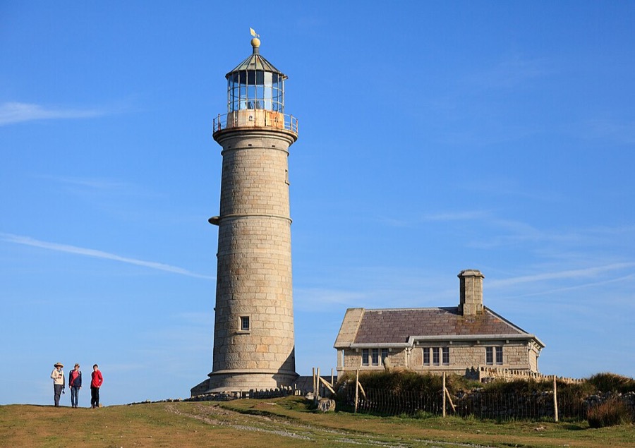
Historic lighthouse
Old Light
Lighthouse of 1819-20 designed by Daniel Alexander; so high that cloud often hid it, it was replaced by two new lights in 1897.
Een minigids voor
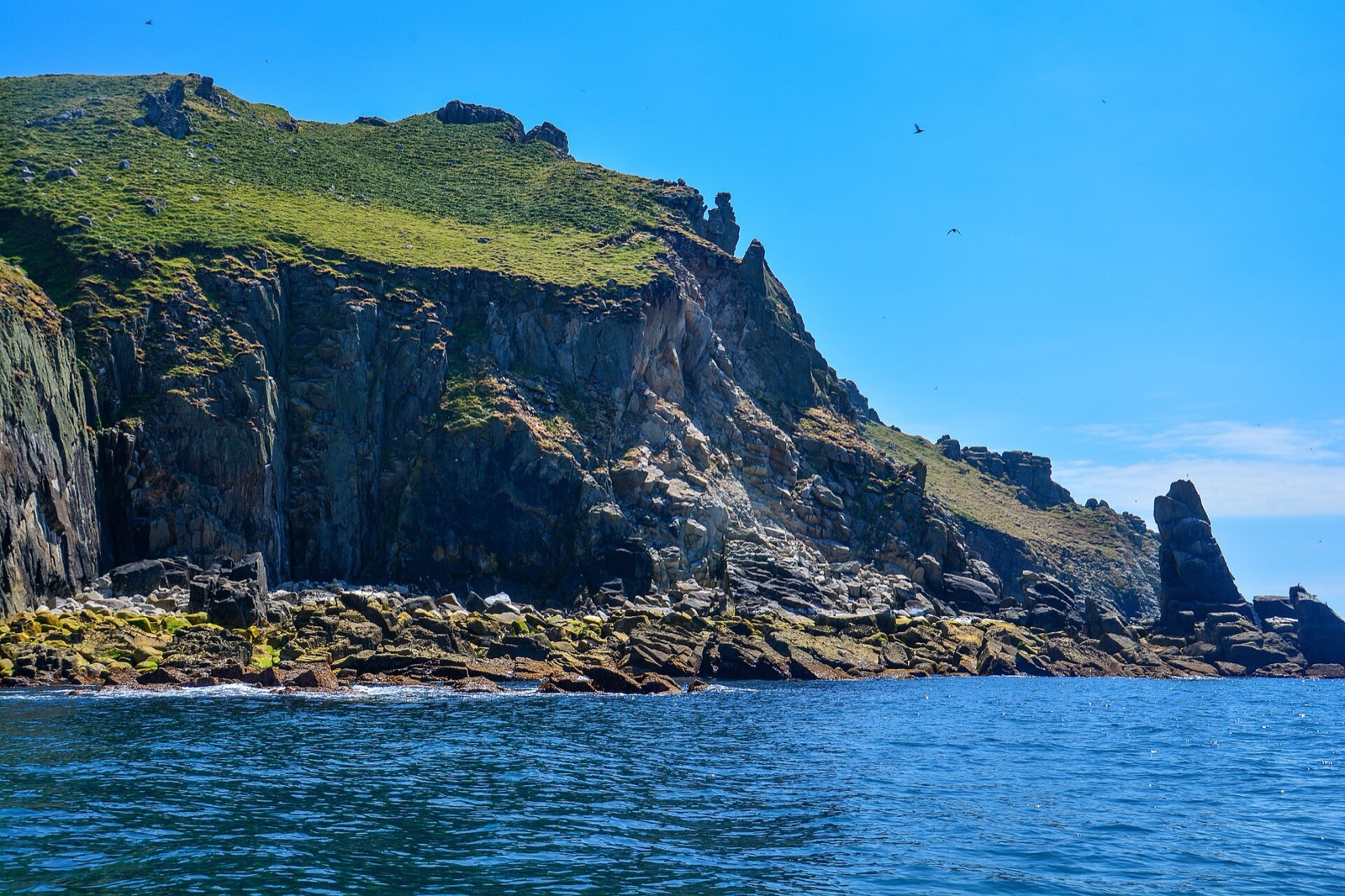
A granite island in the Bristol Channel with three lighthouses, a castle and seabird cliffs
 1 / 8
Welkom in het gebied
Lundy is an island in the Bristol Channel, about 5 km long and 1 km wide, and part of Torridge district in Devon. The National Trust owns it and the Landmark Trust runs it, funding the island from day trips and holiday lets. In 2007 it had 28 residents, most of them living in the village at the south end.
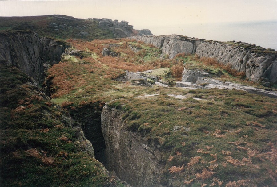
Visitors land at the jetty in the Landing Bay and walk up the road to the village, where the Marisco Tavern and the shop are. From there tracks and paths run north past the Old Light, the quarries and the three cross-island walls to the North Light. There are no roads for visitors' cars: the island is explored on foot.
Hoogtepunten
Hebt u slechts enkele uren, dan zijn dit goede plekken om te beginnen.
Lighthouse of 1819-20 designed by Daniel Alexander; so high that cloud often hid it, it was replaced by two new lights in 1897.
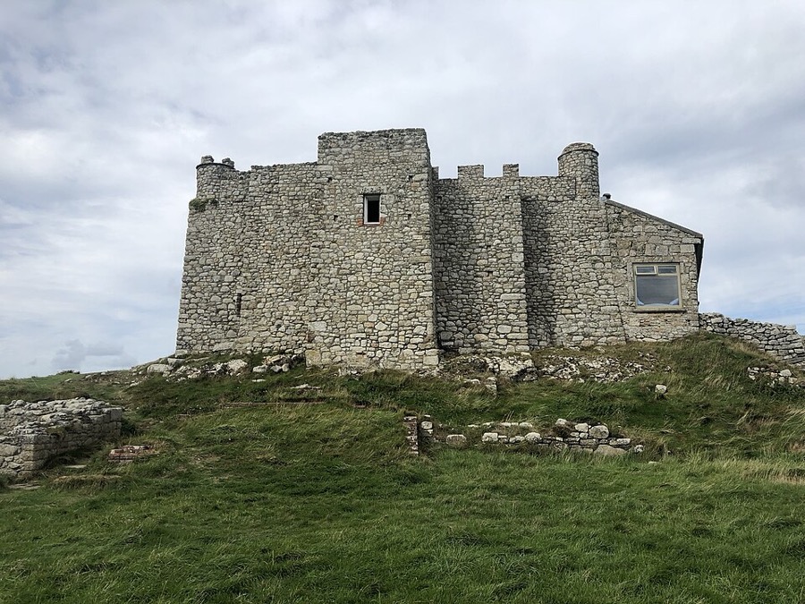
Castle above the Landing Bay, named after the island's 13th-century lords; Henry III ordered a stone tower here.
Routebeschrijving Website Report a problem with Marisco Castle
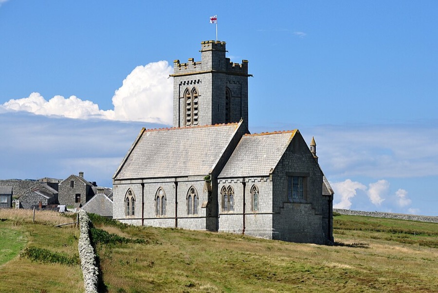
Church completed in 1897 for the island's owner, the Rev. Hudson Grossett Heaven; open to visitors.
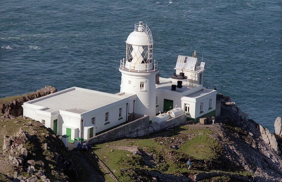
Lighthouse at the northern tip, completed in 1897; the last keepers left in 1976 and it now runs on solar power.
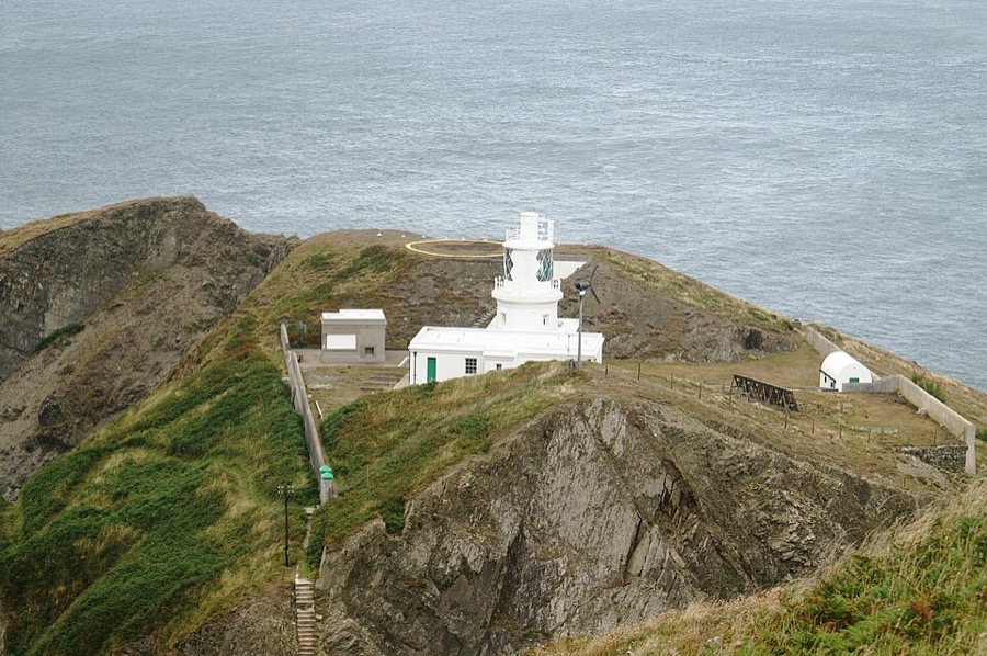
Working lighthouse of 1897 at the south-east tip, one of the two lights that replaced the Old Light.
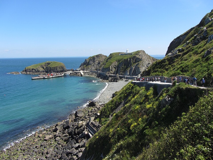
The only beach where boats can land, sheltered from westerly winds, with the jetty and a road built in 1838.
Vind uw weg
The map shows Lundy island and the streets around it. The Getting there page lists nearby stops and stations.
Insidertips
The Oldenburg sails back at a set time, and on a day trip that decides how far north you can walk. Check the time when you land.
The Lundy Field Society describes the Montagu Steps as distinctly dangerous; keep to the paths near the western cliffs.
All accommodation on Lundy is let by the Landmark Trust. Its website refused our automated check, so we do not list properties: book there directly.
The island has one shop and one pub, so carry water, waterproofs and food for a long walk.
Tips van de Britlens-redactie
Photos from Wikimedia Commons, used under the licences shown. All photo credits
Keep exploring Lundy