 English (UK)
 English (US)
 Français
 Deutsch
 Español
 Italiano
 Nederlands
 简体中文
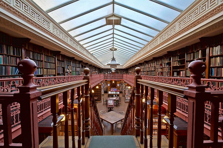
Een minigids voor
City Centre: getting there
Stops, stations and how to reach City Centre
Haltes en stations
Getting to City Centre
Kies de halte die het dichtst bij uw bestemming ligt.
| Halte of station | Voorzieningen | Geschikt voor |
|---|---|---|
| Leeds | National Rail | Main station on New Station Street, at the south side of City Square; managed by Network Rail |
| Leeds Bus Station | Local and regional buses | On the east side of the centre; Leeds Minster gives it as three minutes' walk away |
Within walking range
Stations near City Centre
Stations and stops mapped in OpenStreetMap within 2.5 km of the centre of City Centre, nearest first. Distances are straight lines; walking times assume 5 km/h and are a minimum.
| Station or stop | Type | Afstand | Te voet |
|---|---|---|---|
| Leeds Dyer Street Coach Station | Bus or coach station (National Express) | 600 m | about 7 min |
| Leeds City Bus Station | Bus or coach station | 600 m | about 7 min |
Station data: © OpenStreetMap contributors (ODbL), read 3 November 2026. Check step-free access with the operator before you travel.
Walking from nearby areas
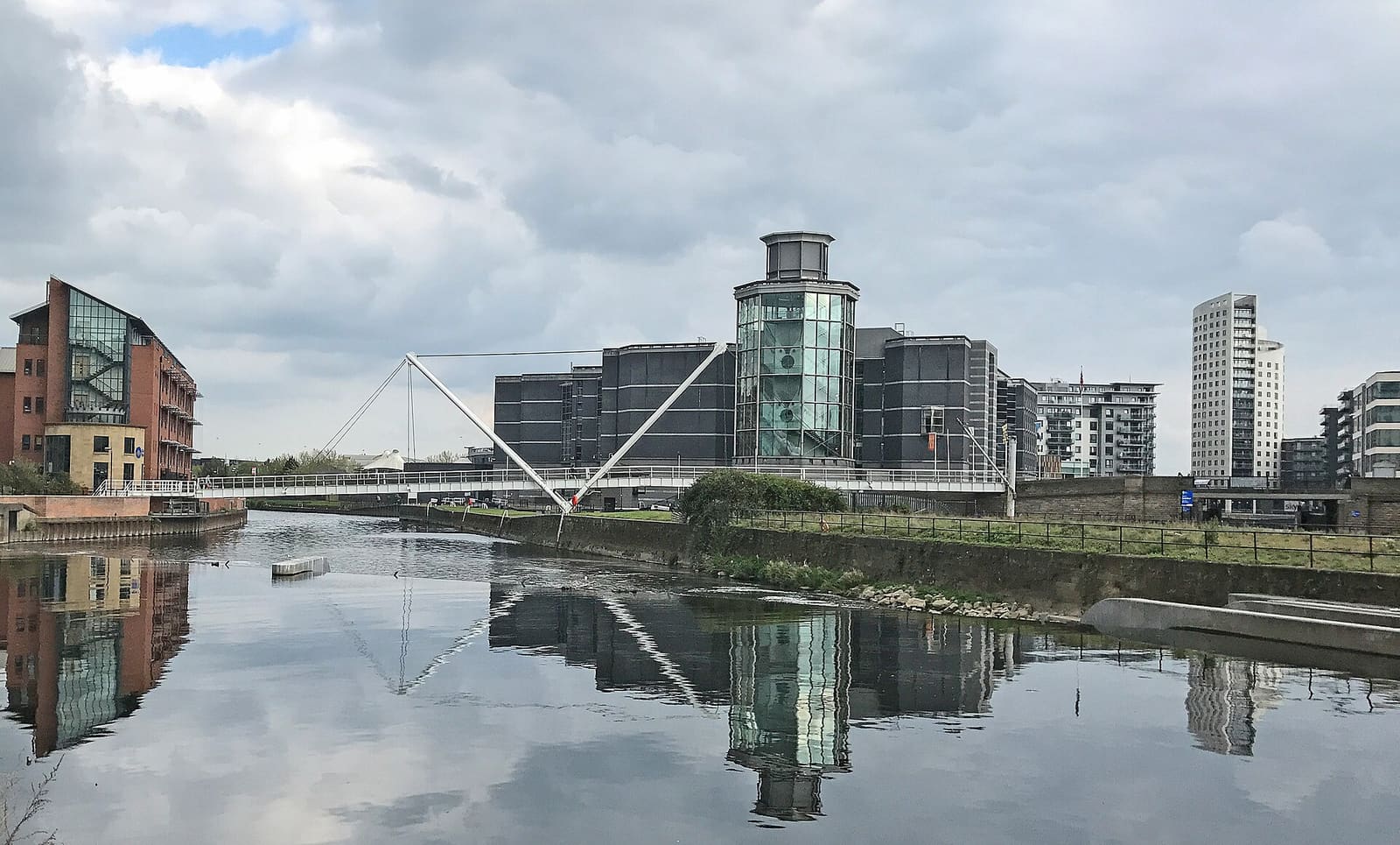
- Waterfront and Leeds Dock: 700 m from City Centre, about 8 min on foot
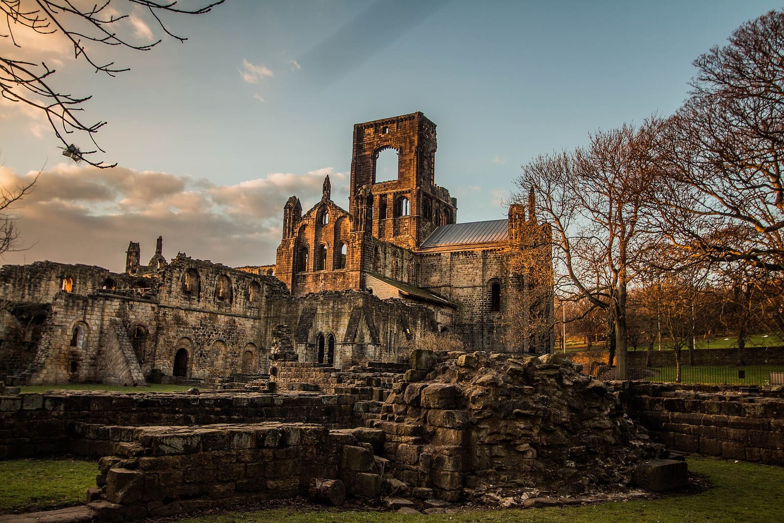
- Headingley, Hyde Park and Kirkstall: 2.7 km from City Centre, about 32 min on foot
Reaching Leeds
Officiële reisinformatie
Leeds station is in the city centre and Leeds Bradford Airport is north-west of the city. Always check the operator for current times, fares and disruption.
- National Rail: Leeds station → — facilities, step-free access and departures
- Leeds Bradford Airport → — buses, taxis and car hire
- West Yorkshire Combined Authority → — buses, rail and the Weaver Network
- Leeds City Council → — local information
- Visit Leeds → — official tourism website
Tijden, tarieven en storingen veranderen: raadpleeg de bovenstaande pagina's van de vervoerders voor actuele informatie.
Plan hier uw reis
Enter your starting point and Google Maps will show routes to City Centre. Public transport is selected; change it on the map. Check operator sites for live disruption.
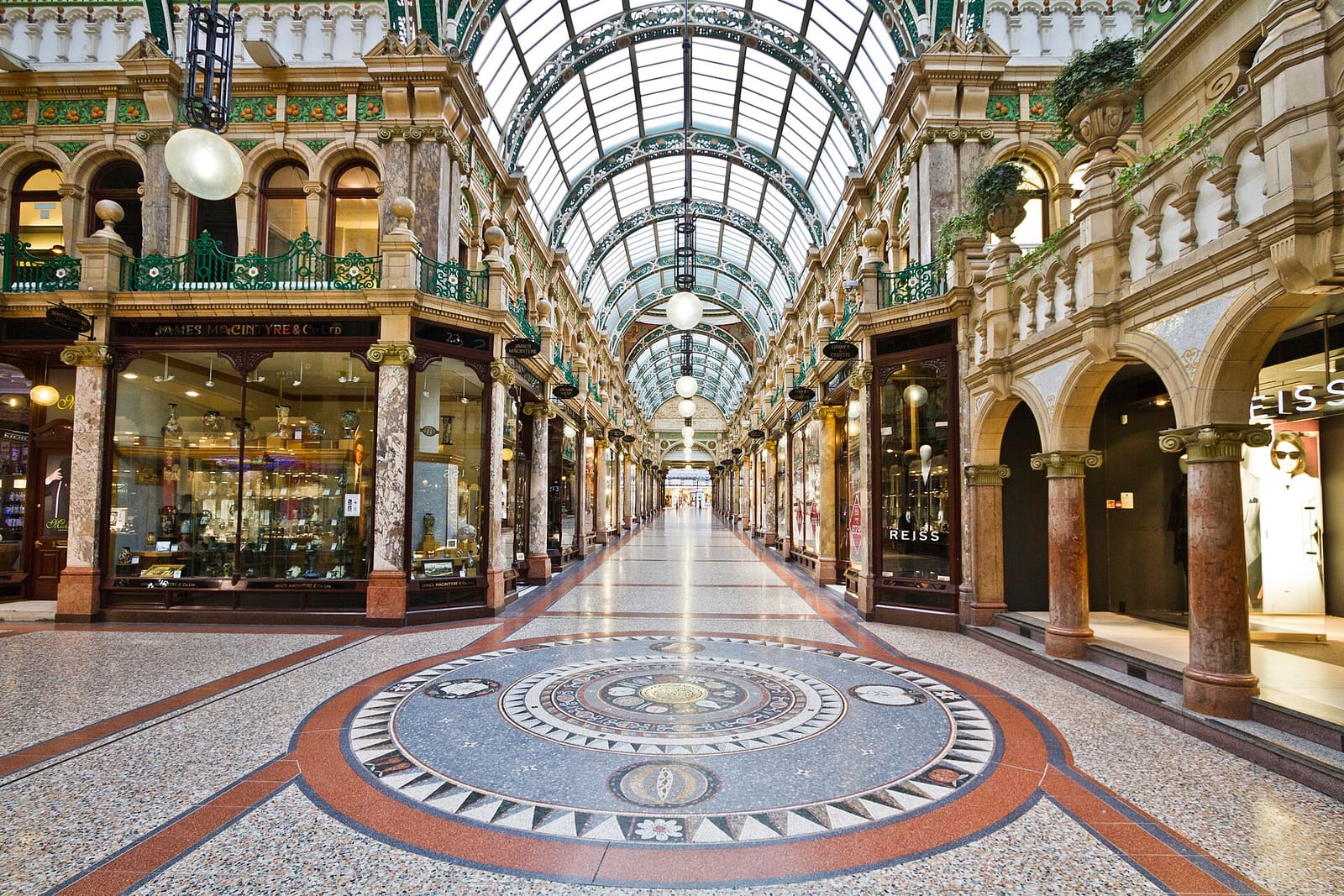
While you are here
Things to see in City Centre
A few of the sights in the area. The Things to do page lists them all, with directions and official links.
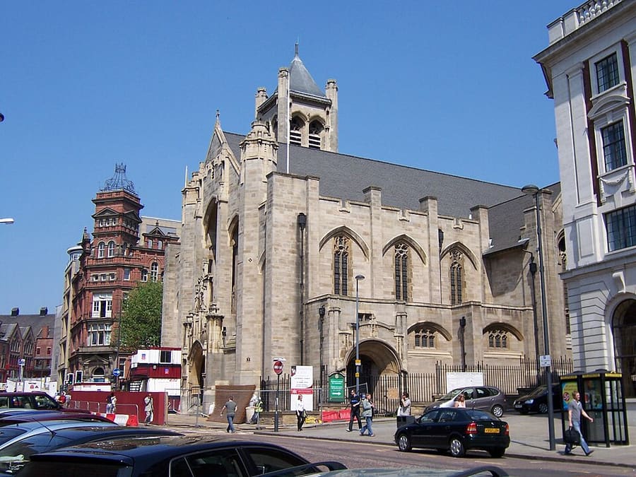
Leeds Cathedral
Roman Catholic Cathedral Church of St Anne, seat of the Bishop of Leeds.
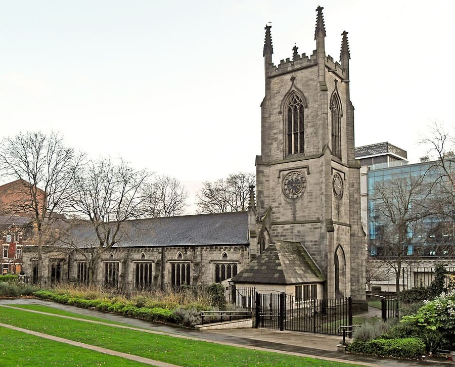
St John's Church
Grade I listed church no longer used for regular worship, cared for by the Churches Conservation Trust.
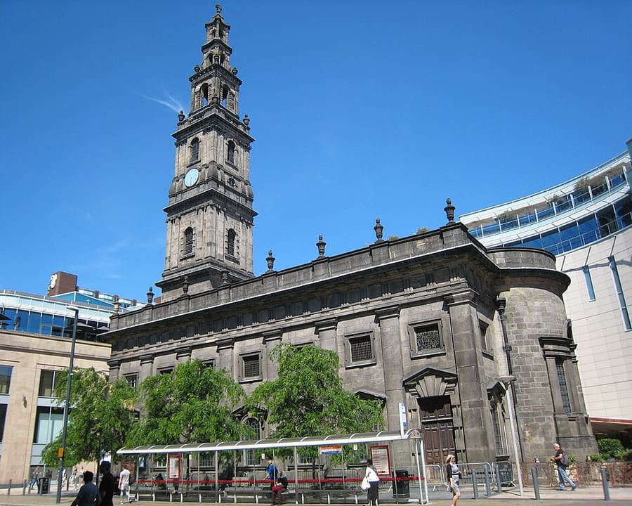
Holy Trinity Church
Grade I listed church on Boar Lane, built 1722–27; the steeple was added in 1839.
Leeds
More areas to explore
Fotoverantwoording
- The Leeds Library: Michael D Beckwith, CC BY 3.0, source
- City Centre (area photo): Michael D Beckwith, CC BY 4.0, source
- Leeds Cathedral: Jungpionier, CC BY-SA 3.0, source
- St John's Church: Tim Green from Bradford, CC BY 2.0, source
- Holy Trinity Church: Chemical Engineer, CC BY-SA 4.0, source
- Waterfront and Leeds Dock: Tim Green, CC BY 2.0, source
- Headingley, Hyde Park and Kirkstall: Minda, CC BY-SA 3.0, source
Photos from Wikimedia Commons, used under the licences shown. All photo credits