 English (UK)
 English (US)
 Français
 Deutsch
 Español
 Italiano
 Nederlands
 简体中文
Straat
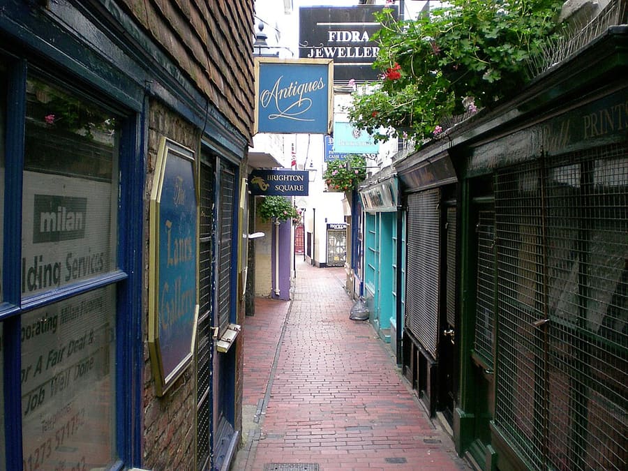
The Lanes
Narrow alleys of small shops, many selling antiques and jewellery, between North Street, Ship Street and Prince Albert Street.
Een minigids voor
Narrow shopping lanes, the Palace Pier, the i360 and the pebble beach in the centre of Brighton
 1 / 9
Welkom in het gebied
The Lanes are a tangle of narrow alleys between North Street and the sea, lined with small shops, jewellers, cafés and restaurants. Just south, the King's Road and Madeira Drive run along the pebble beach.
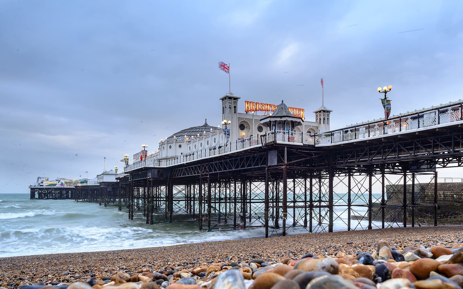
Brighton Palace Pier stands opposite the Old Steine, and to the west the i360 tower rises beside the ruined West Pier. The King's Road arches below the promenade hold the Fishing Museum, small galleries, bars and places to eat.
Hoogtepunten
Hebt u slechts enkele uren, dan zijn dit goede plekken om te beginnen.
Narrow alleys of small shops, many selling antiques and jewellery, between North Street, Ship Street and Prince Albert Street.
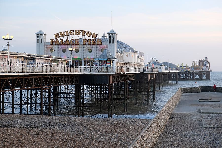
Grade II* listed pleasure pier opened in 1899, with rides, arcades and places to eat; the only one of Brighton's three piers still operating.
Routebeschrijving Website Report a problem with Brighton Palace Pier
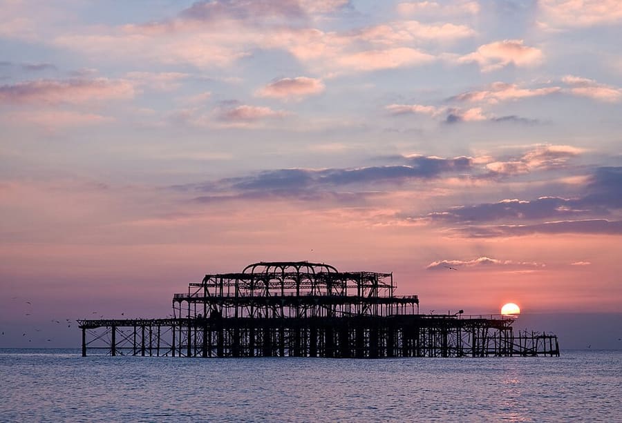
Ruined pier designed by Eugenius Birch, opened in 1866 and closed to the public in 1975; only part of its metal framework survives.
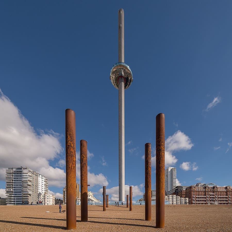
Moving observation tower opened in 2016 beside the West Pier remains; its glass pod rises 138 metres for views along the coast.
Routebeschrijving Website Report a problem with Brighton i360
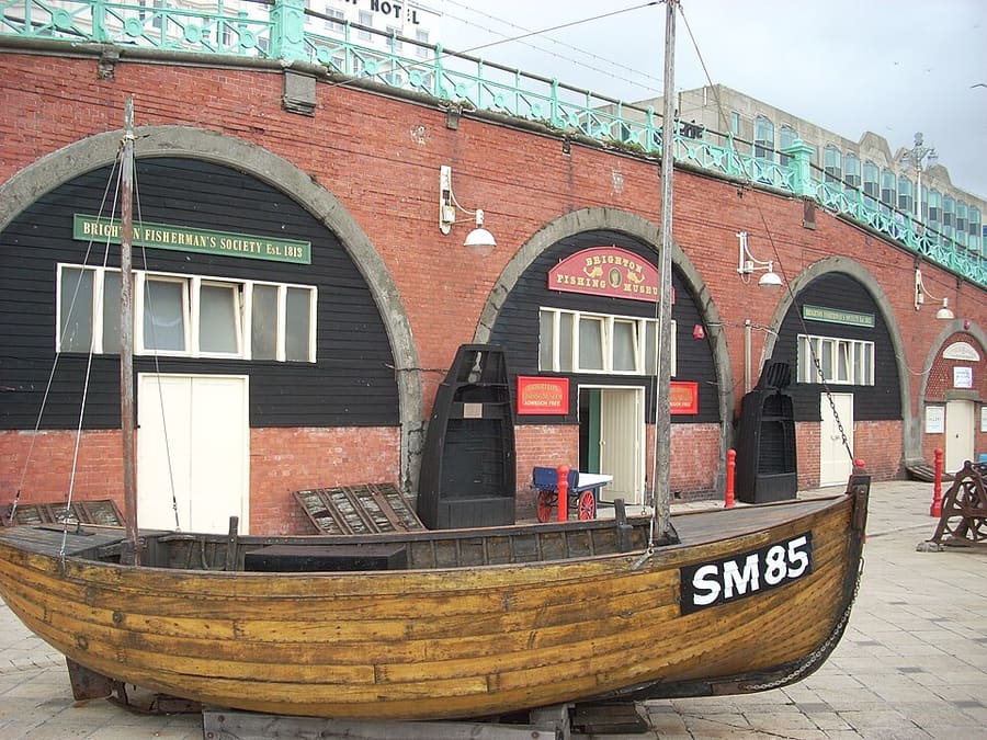
Small independent museum in the King's Road arches, run with the local fishing community, on the history of Brighton's fishermen. Admission is free.
Routebeschrijving Website Report a problem with Brighton Fishing Museum
Police cells in the basement of Brighton Town Hall, used until the 1960s and now a museum of Sussex policing shown on guided tours.
Routebeschrijving Website Report a problem with Old Police Cells Museum
Vind uw weg
The map shows The Lanes & seafront and the streets around it. The Getting there page lists nearby stops and stations.
Insidertips
Visit Brighton says the Lanes and North Laine sit side by side between Brighton station and the Palace Pier, a short walk to the beach.
Visit Brighton says the safest places to swim are the patrolled areas marked with red and yellow flags in the summer months.
Brighton beach is a pebble beach, with a little sand at low tide. Check the tide timetable on Visit Brighton before you plan a day on the shore.
The seafront office at 141 King's Road Arches deals with beach enquiries and emergencies, according to Visit Brighton.
Tips van de Britlens-redactie
Brighton & Hove
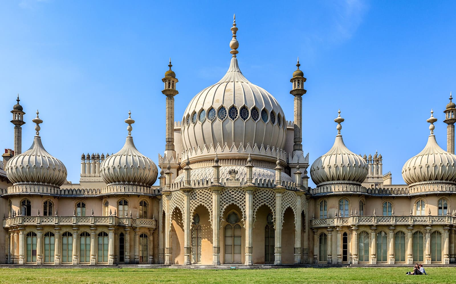
The Royal Pavilion, the Dome and the independent streets between the station and the Old Steine
Open de minigids →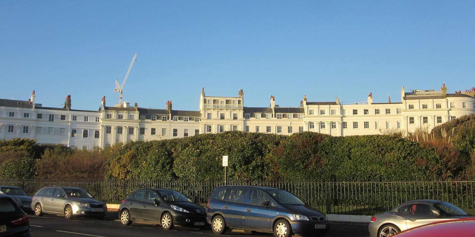
Regency crescents, Volk's Electric Railway, the aquarium and St James's Street east of the pier
Open de minigids →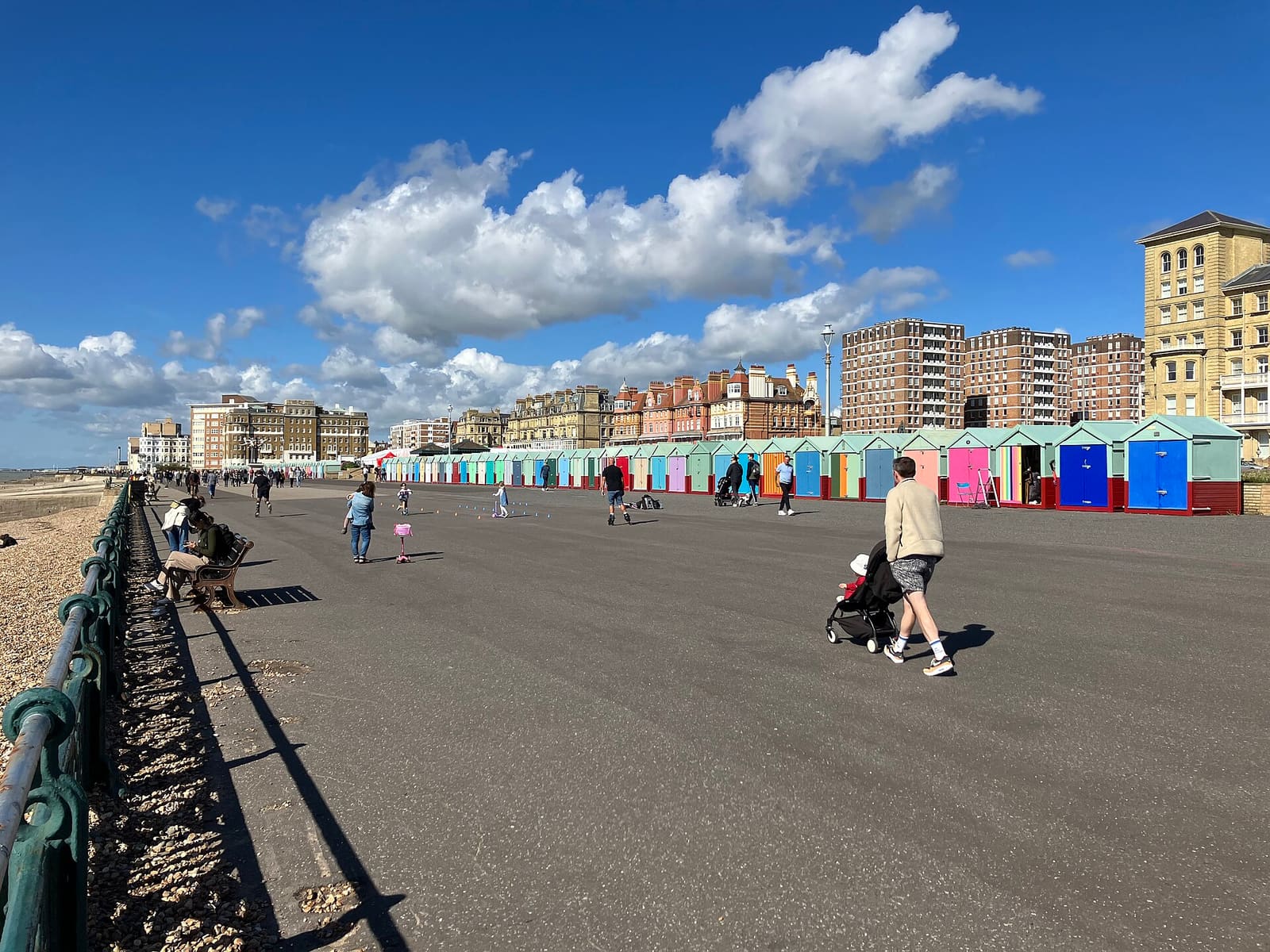
Regency squares, beach huts, Church Road and George Street west of the Peace Statue
Open de minigids →Photos from Wikimedia Commons, used under the licences shown. All photo credits
Keep exploring Brighton & Hove