 English (UK)
 English (US)
 Français
 Deutsch
 Español
 Italiano
 Nederlands
 简体中文
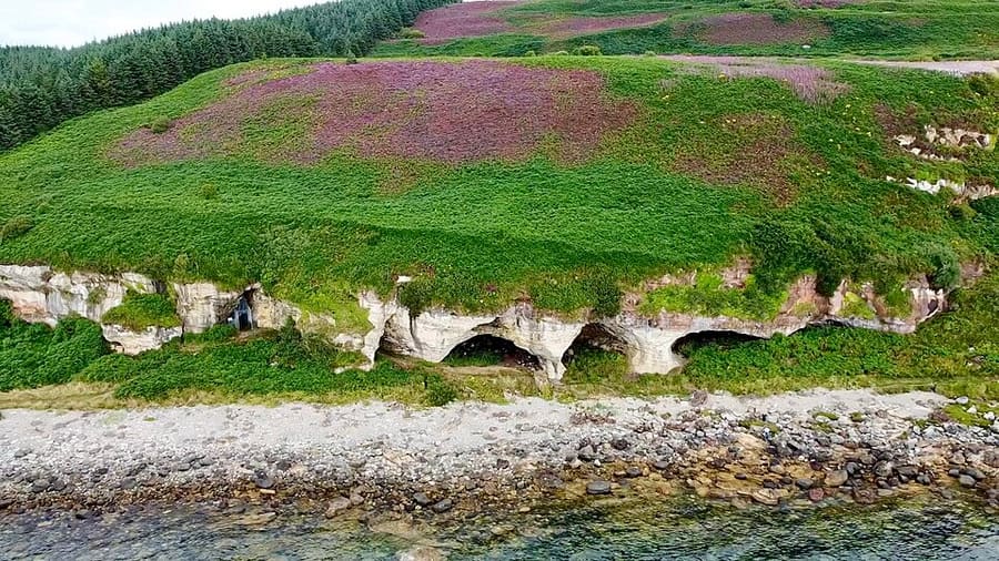
Een minigids voor
Lochranza, Machrie and the south-west: getting there
Stops, stations and how to reach Lochranza, Machrie and the south-west
Haltes en stations
Getting to Lochranza, Machrie and the south-west
Kies de halte die het dichtst bij uw bestemming ligt.
| Halte of station | Voorzieningen | Geschikt voor |
|---|---|---|
| Lochranza ferry slipway | CalMac from Claonaig on Kintyre (30 minutes) | Link with Kintyre and the Islay ferry at Kennacraig |
| Coast road buses | Buses round north and south Arran | Stops at Lochranza, Machrie and Blackwaterfoot |
| String Road (B880) | Road across the island from Brodick | Quickest way from Brodick to Blackwaterfoot |
Walking from nearby areas
- Brodick, Lamlash and Whiting Bay: 12.2 km from Lochranza, Machrie and the south-west, better by public transport
Reaching Isle of Arran
Officiële reisinformatie
CalMac ferries sail to Brodick from Ardrossan and Troon, and to Lochranza from Claonaig on Kintyre. Book vehicle space in advance and read CalMac's service status before you travel.
- CalMac: Arran → — ferries to Brodick and Lochranza
- VisitArran → — island tourism information, buses and bike hire
- ScotRail → — trains to Ardrossan Harbour and Troon
- Traveline Scotland journey planner → — bus times on Arran
Tijden, tarieven en storingen veranderen: raadpleeg de bovenstaande pagina's van de vervoerders voor actuele informatie.
Plan hier uw reis
Enter your starting point and Google Maps will show routes to Lochranza, Machrie and the south-west. Public transport is selected; change it on the map. Check operator sites for live disruption.
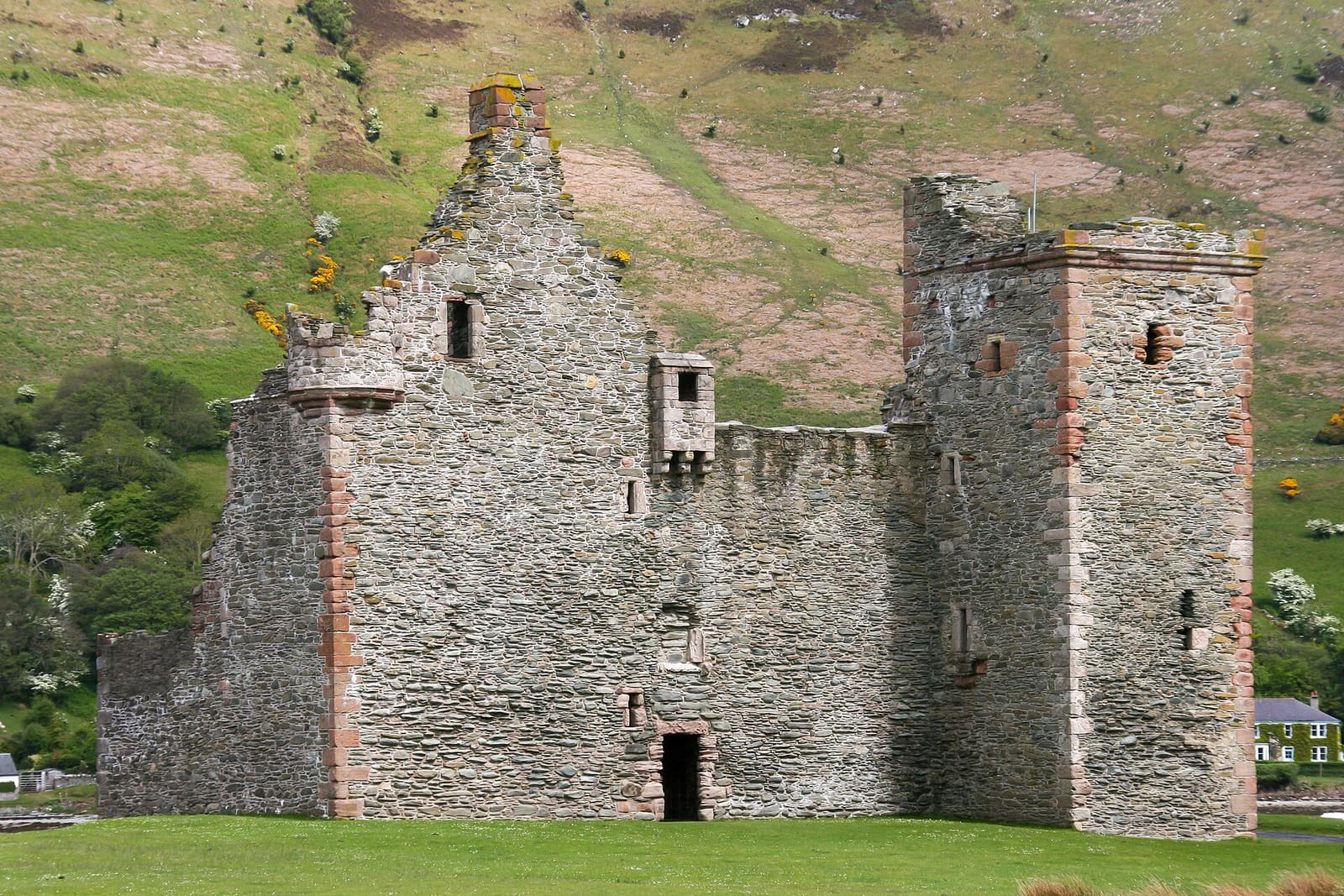
While you are here
Things to see in Lochranza, Machrie and the south-west
A few of the sights in the area. The Things to do page lists them all, with directions and official links.
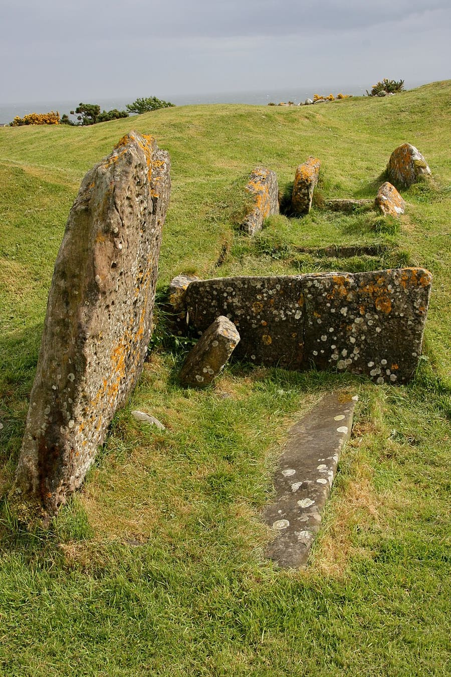
Torrylin Cairn
Much-disturbed Neolithic cairn whose burial chamber survives; used for ritual and burial for more than 1,000 years.
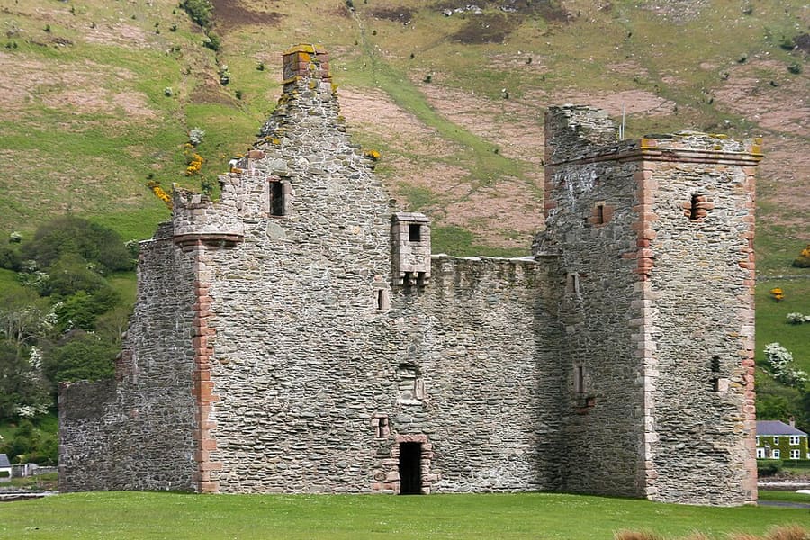
Lochranza Castle
Tower house of the 1500s built from a hall-house of the 1200s, on a peninsula in Loch Ranza.
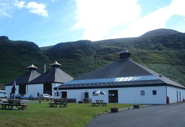
Arran Distillery
Distillery founded in 1995 at Lochranza, with tours, tastings and Casks café.
Fotoverantwoording
- King's Cave: AlistairMcMillan, CC BY-SA 4.0, source
- Lochranza, Machrie and the south-west (area photo): Photograph by Mike Peel (www.mikepeel.net)., CC BY-SA 4.0, source
- Torrylin Cairn: Photograph by Mike Peel (www.mikepeel.net)., CC BY-SA 4.0, source
- Lochranza Castle: Photograph by Mike Peel (www.mikepeel.net)., CC BY-SA 4.0, source
- Arran Distillery: paul birrell, CC BY-SA 2.0, source
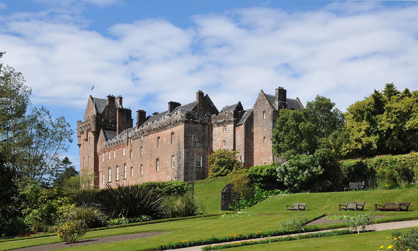
- Brodick, Lamlash and Whiting Bay: Sir Gawain, CC BY-SA 3.0, source
Photos from Wikimedia Commons, used under the licences shown. All photo credits
Keep exploring Isle of Arran